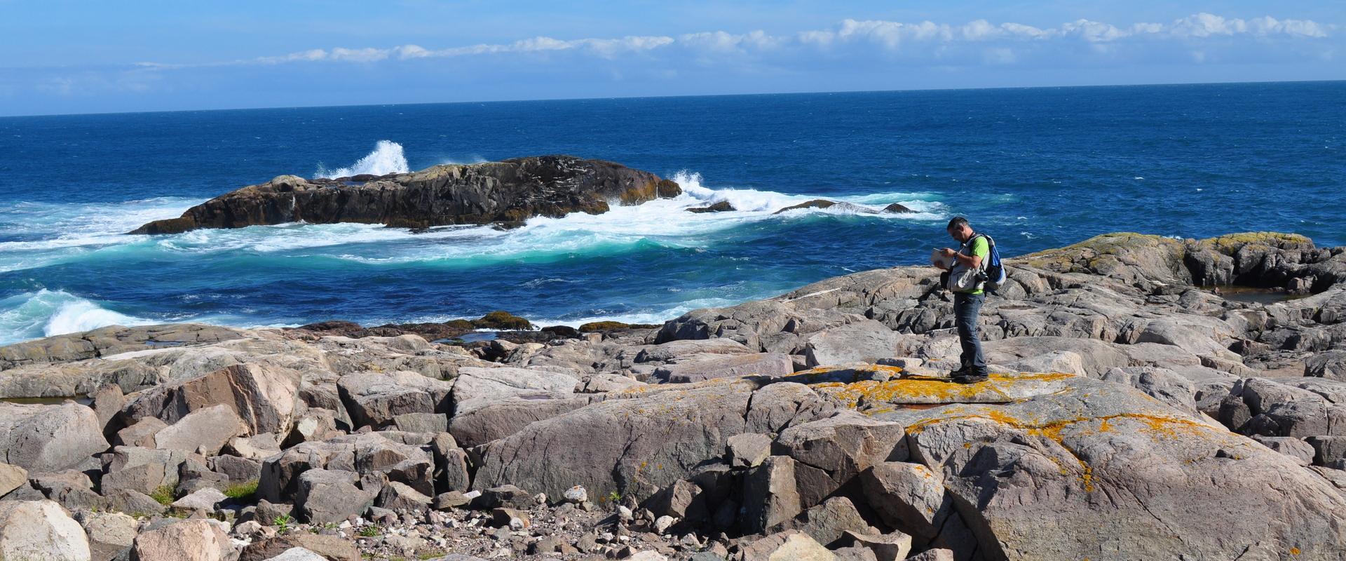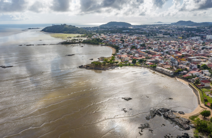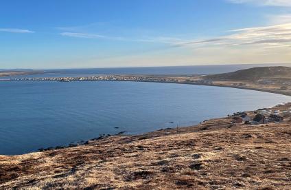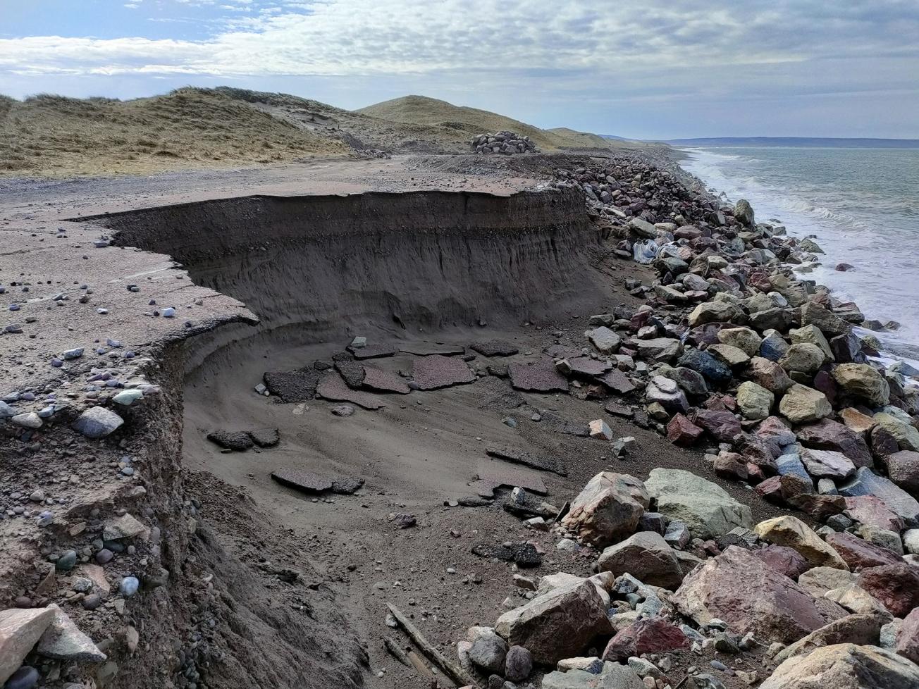
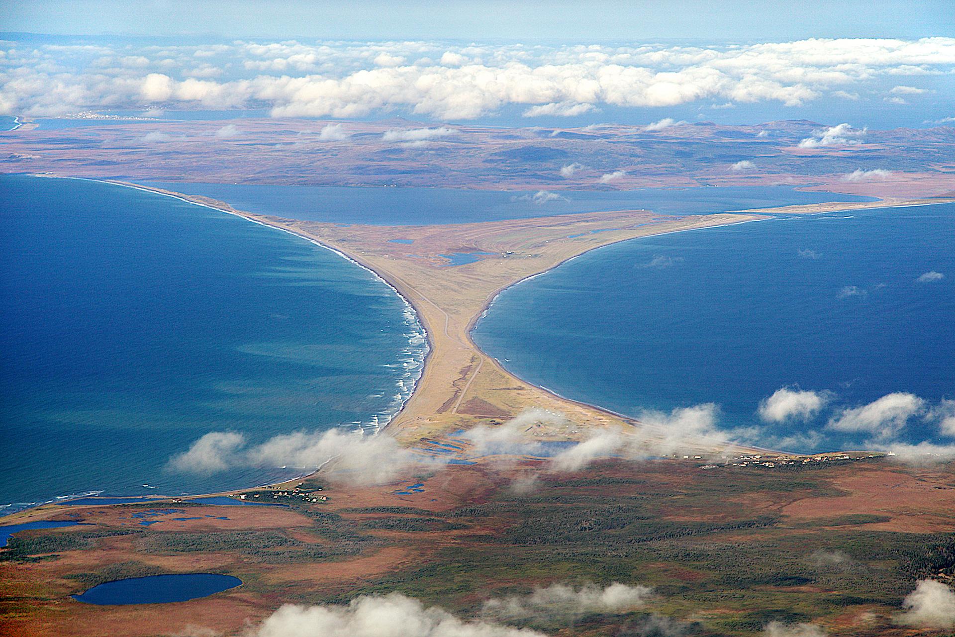
Erosion breach on the Miquelon-Langlade isthmus following the storms of February-March 2021 (KP16 Miquelon-Langlade isthmus, 2021)
© DTAM - Franck Maljean
The need
BRGM provided the French Directorate for Overseas Territories, Food and the Sea (DTAM) with crisis management support based on the knowledge acquired through previous work on the coastal dynamics of the site and its experience in terms of managing coastal erosion issues. From March to June 2021, ten or so working meetings were held with the DTAM and Cerema in order to monitor the evolution of erosion as closely as possible and to propose solutions adapted to the area.
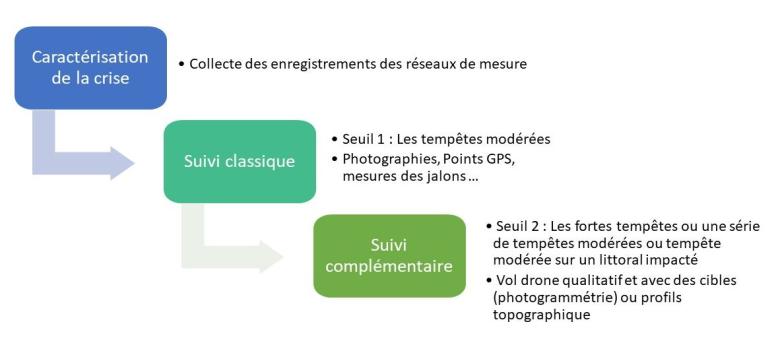
Proposed protocol for triggering shoreline monitoring for the archipelago in times of crisis.
© BRGM
Results
Throughout the erosion crisis, BRGM and its partners intervened in various ways:
- an initial diagnosis and urgent recommendations were formulated in BRGM’s expert report at the start of the crisis;
- "situation reports” were regularly published by the DTAM and posted on the website of the prefecture;
- Cerema drafted a note on emergency work, proposing the use of geotextile bags (big-bags) as a means of very short-term emergency protection. A first experimental big-bag system was thus implemented;
- an analysis of the cyclicity of the sedimentary dynamics on the site and the interactions with the emergency installations at the site was carried out by BRGM;
- Cerema drew up a diagnosis of the existing structure and guidelines for the development of the site (reinforcement of the embankment with riprap, total reconstruction of the roadway, proposal for artificial recharging with sand).
Finally, in order to anticipate future crisis management, BRGM proposed a protocol for monitoring the coastline during storms. It is based on the adaptation to the archipelago of tools and methods developed elsewhere in France: observation form, protocol for triggering coastal monitoring during a crisis, making stakeholders aware of the BRGM application, i-InfoTerreTM, etc.
Using the results
As a result of this action, work was undertaken to develop the site. The road is currently being used again and the storms of winter 2022 do not appear to have affected it. BRGM is carrying out additional studies on the possibility of recharging the foreland with sand. The first step is to collect data that will provide information on the feasibility of such recharging (identification of an offshore deposit, bathymetric survey, hydro-sedimentary modelling).
The cutting of the road on the Miquelon-Langlade isthmus following the storms during the winter of 2021 was a real catastrophe for the population of the archipelago, which is very protective of the isthmus. The specialised scientific contribution of BRGM and Cerema, their knowledge of the site and their responsiveness, were of great help to us in managing the crisis situation locally and then switching to the search for solutions.

