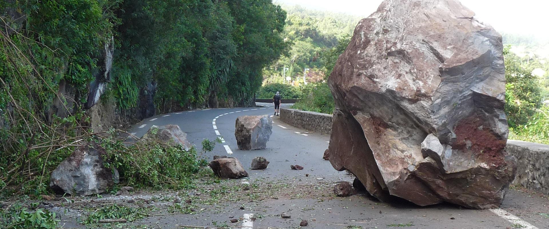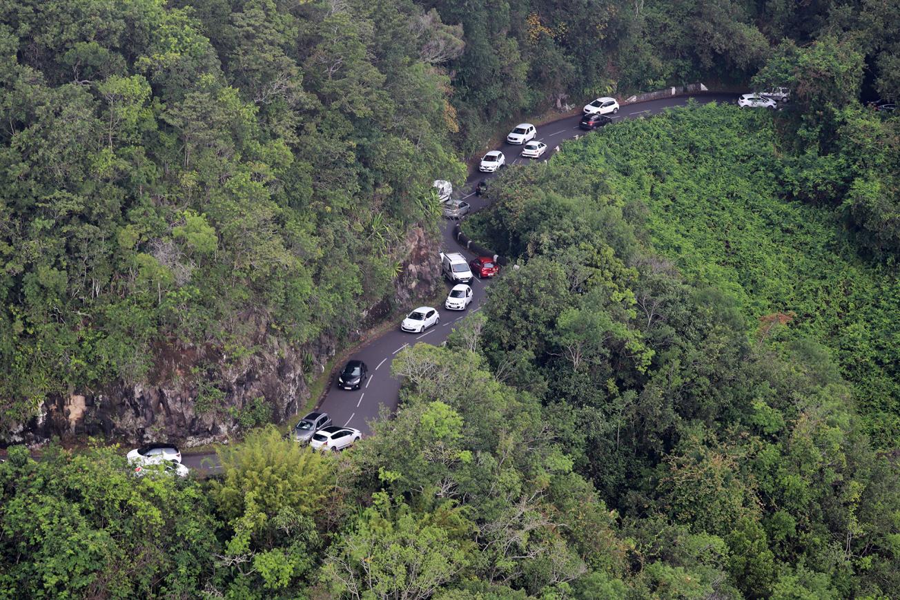
The Grande Chaloupe area on the RD41 during the closure of the coastal road (2019)
© Imaz Press Réunion
The need
The Departmental Council's Road Management Department decided to measure the mountain road's exposure to gravity-related risks during periods when traffic is diverted from the coastal road. Consequently, they asked BRGM to study the feasibility of assessing the impact of rainfall and increased traffic on gravity-related risks on the RD41.
The results
- After the inventory of ground movements along the 30-km stretch of the RD41 (161 events over the period 2013-2020) had been consolidated, an analysis of the frequency of rock falls showed that the diversion route (via the RD41) was often more affected by rock falls than the coastal road, due to the topography of the land, meaning that rocks could potentially reach the road in certain locations, and the fact that fewer stabilisation works have been conducted on the mountain road.
- A comparison of the events in the two most active sectors of the RD41 and the rainfall records – reconstructed from rain front radar data – showed that 85% of the rock falls occur on rainy days, representing about half of the days in the year;
- Regardless of the intensity of the rainfall, the team noted a positive correlation between daily rainfall and the instabilities recorded. The correlation is at its highest point on the day of the rainfall (D0) and remains perceptible up to two days after the day of the rainfall (D+2);
- The calculation of the frequency of rock falls (whatever the volume) per rainfall interval shows that the probability of rock falls occurring rises in correlation to the increase in daily rainfall totals over 1, 2 or 3 days;
- The risks of rock falls/landslides for users on the RD41 (daily probability of a user dying based on one kilometre travelled) was quantified by cross-referencing the probability of damage to the road with the probability of a vehicle being impacted (a function of traffic volume) and the probability of death (a function of the conditions under which vehicles are hit and damaged in the event of an impact). The study made it possible to produce a chart and a map showing the risks of rock falls according to total rainfall over 1, 2 and 3 days and the traffic conditions;
- In order to be able to truly compare the risks involved in using one route or the other at a given time, the same methodology needs to be applied to both routes to establish different management scenarios.

BRGM worked on the link between the level of rainfall and the risks to users due to falling rocks, bearing in mind that the danger for motorists is also linked to the amount of traffic. The study provided us with the most reliable statistical overview possible, so that we can ultimately determine a safer management method. Above and beyond the contribution of this study, the situation should improve by the end of the year, when part of the new coastal road (currently under construction) is completed.
Using the results
The study measured the gravity-related risks resulting indirectly from decisions to close the coastal road. Based on the results, the Council is considering implementing weather-based methods of managing the itinerary, in order to achieve acceptable risk-exposure levels. More generally, this type of study opens up possibilities for developing operational tools that can be used by managers of road and rail infrastructures that are subject to natural hazards.
The partners
- La Réunion Departmental Council

