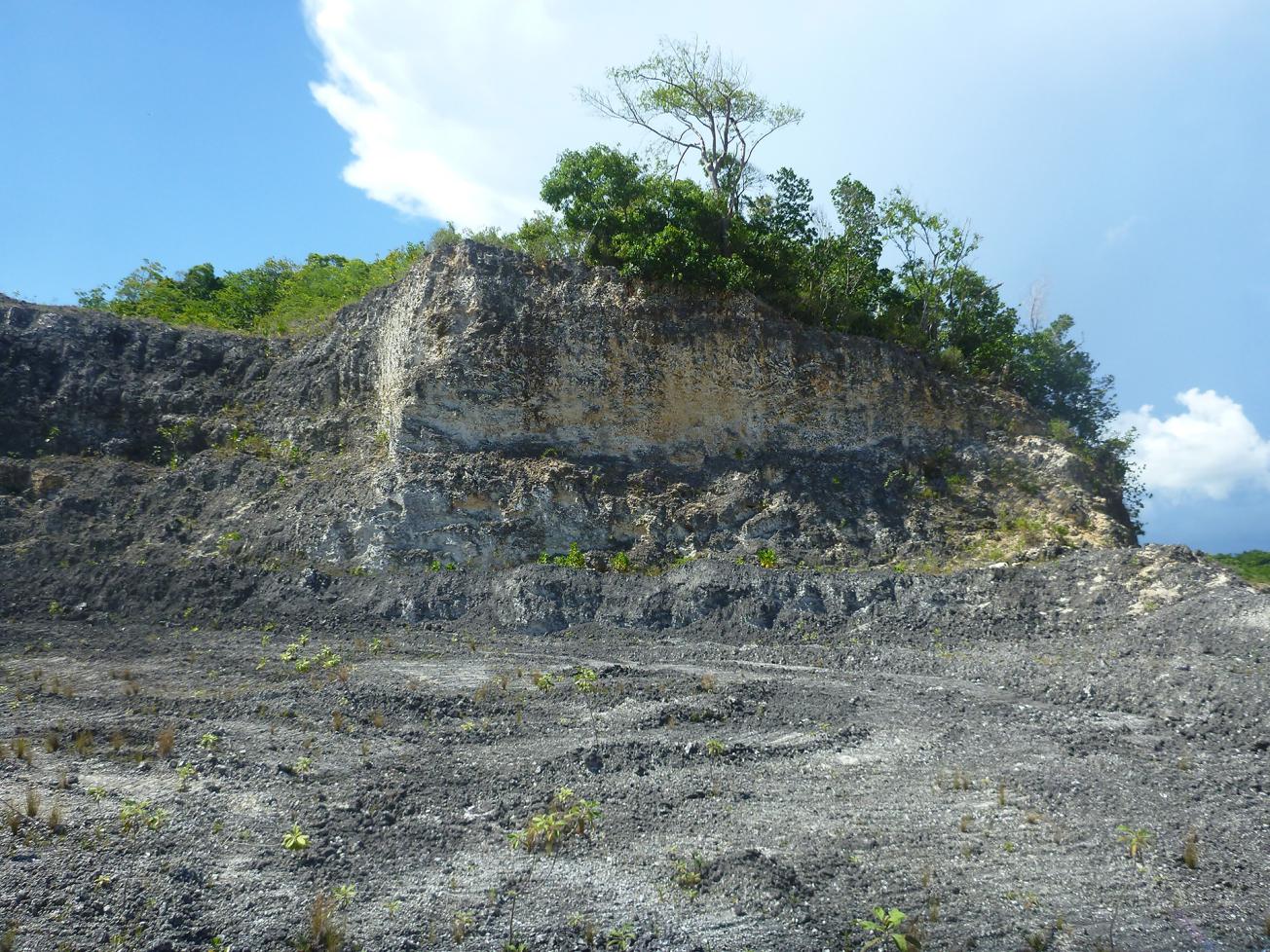
Example of an escarpment showing lithostratigraphic unit U5 (limestone with Acropora coral), an extremely hard formation whose spatial extent is delimited by an analysis of EM soundings.
© BRGM
The need
The region needs large quantities of materials and the resources exploited are insufficient to meet demand. It is therefore essential for the carbonate islands of Guadeloupe (i.e. Grande-Terre and Marie-Galante) to characterise and map heterogeneities within the carbonate formations of Grande-Terre (commonly known as "carbonate tuffs"), as identified by the departmental quarrying map of Guadeloupe (2013). These heterogeneities, which do not appear to be correlated with the main stratigraphic systems already identified and that make up the carbonate platforms of Grande-Terre, are not necessarily accompanied by visible changes in lithology (i.e. changes in colour, texture, competence, etc.).
In response to this problem, BRGM carried out a preliminary study, based on a joint analysis of geological observations and of airborne and geotechnical geophysical data, in order to define a methodological approach that could be implemented to characterise the heterogeneities as well as to identify the origin of variations in the quality of the limestone tuffs in order to interpret them spatially.
Results
The study highlighted the relevance of implementing airborne TDEM (time domain electromagnetic method) geophysical data from the ERDF's GuaDEM project (Deparis et al., 2013) to spatially characterise heterogeneities in the carbonate formations of Grande-Terre. Variations in resistivity appeared to be relatively consistent with the delineations of geological formations, based on field observations.
Within the same geological formation, airborne geophysical data can also be used to characterise variations in the competence of these materials, supplemented by the analysis of a number of geotechnical parameters (absorption, Micro Deval and Los Angeles coefficients).

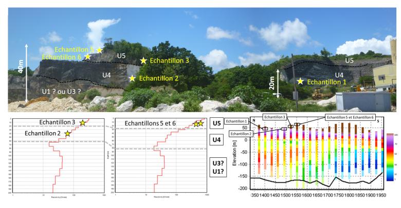
Close-up on resistivity data from airborne geophysical surveys in the study area along a north-south profile. The black boxes and yellow stars show the position of the samples taken.
© BRGM
Using the results
If this approach is approved for other sectors of Grande-Terre, or Marie-Galante, it could pave the way in the longer term for an extrapolation of this joint analysis – combining geological and geotechnical data with airborne geophysical data – to both of the carbonate islands of Guadeloupe, Grande-Terre and Marie Galante.
A map showing the zones with potential material resources based on the type, quality and/or thickness of exploitable materials could then be drawn up in order to "protect" certain particularly rich areas of Grande-Terre or, conversely, to identify non-pertinent areas and thus place limits on new quarries in these sectors.
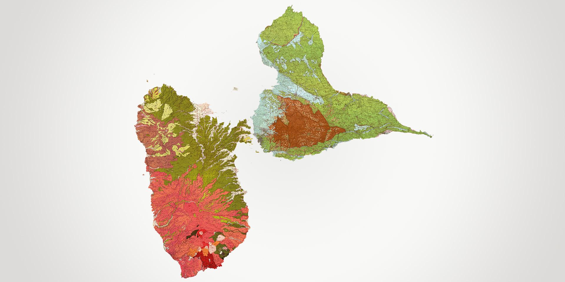
It should be noted, however, that the 1:50,000 geological map of Grande-Terre (Garrabé and Andreieff, 1988) is not sufficiently precise to be used for the study area. However, 3D modelling of specific geological formations, such as the volcano-sedimentary levels (U2), could enable this mapping work to be carried out.

This study is in keeping with the key objectives and recommendations of the departmental quarrying plan for Guadeloupe. It tells us more about the deposits and about the physical and mechanical properties of tuffs in a given area. In this way, it completes the study conducted in 1999 by the DDE. The next step will be to extend this study to the whole of Grande-Terre and to produce a map of the areas on the islands of Grande-Terre and Marie-Galante, showing their potential, and particularly the thickness of exploitable deposits.


