Modelling the impact of a Tsunami (2022)
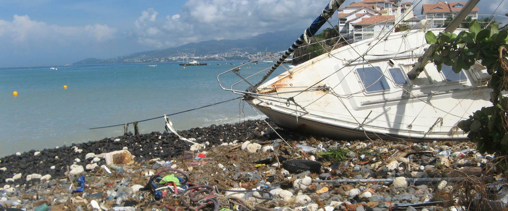
© BRGM
The need
The aim of the VigiRisks platform is to develop a better response to the social and economic challenges facing the French West Indies (Martinique, Guadeloupe and the northern islands). The Vigirisks platform was developed to facilitate the estimation of damage following a natural event (earthquake, land movement, coastal flooding). To this end, it runs a series of risk simulations, and uses up-to-date datasets specific to the local morphology of the pilot region.
The results
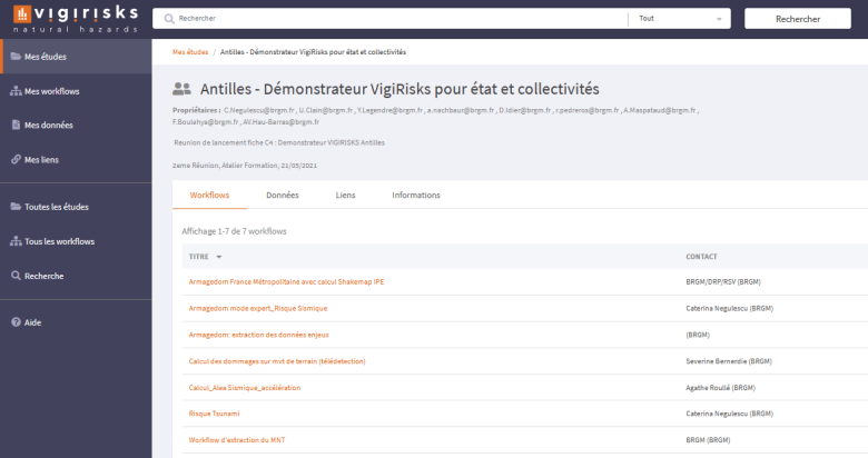
Following the delimitation of the pilot region (Fort-de-France, Martinique) for the development of the platform demonstrator, a series of interviews were carried out with the local authorities in order to highlight the needs of local users and to collect data on the survey region. To meet these needs, a number of specific processes were developed and implemented in Vigirisks in order to be able to conduct simulations with these data on a number of questions, including:
- extraction of data on buildings with the IRIS code;
- calculation of seismic hazards, taking account of ground acceleration (Armagedom);
- assessment of damage to buildings in relation to ground displacement, estimated by interferometry;
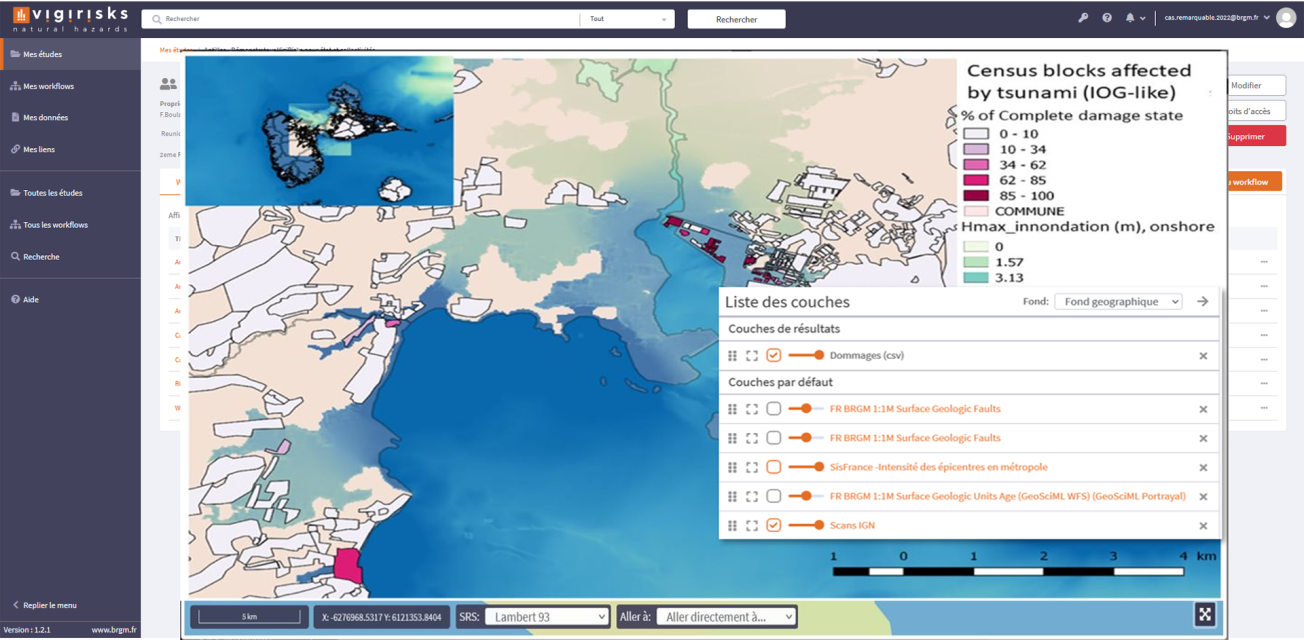
- calculating the risk of a tsunami.
In order to offer a user experience that meets the needs of local authorities and users, a new website is being developed to explain the way data is processed, making it accessible to the general public.
Using the results
The demonstration space in Vigirisks uses the simulation processes conducted with the demonstrator in the French West Indies to create workflows. Users can rerun the predictive scenario workflows with the existing dataset, or upload their own dataset. The initial workflow settings can be modified to adapt to reality on the ground and thus provide a result that is consistent with the local environment.
Note, however, that processing results of the treatments should be analysed only by users who are experts in the field of natural hazards.
The partners
- UNICAEN UFR SEGGAT - University of Caen Normandy - UFR (teaching and research unit) in Economics, Management, Geography and Regional spatial planning
- EVS - Environnement Ville Société [Environment, City, Society]


