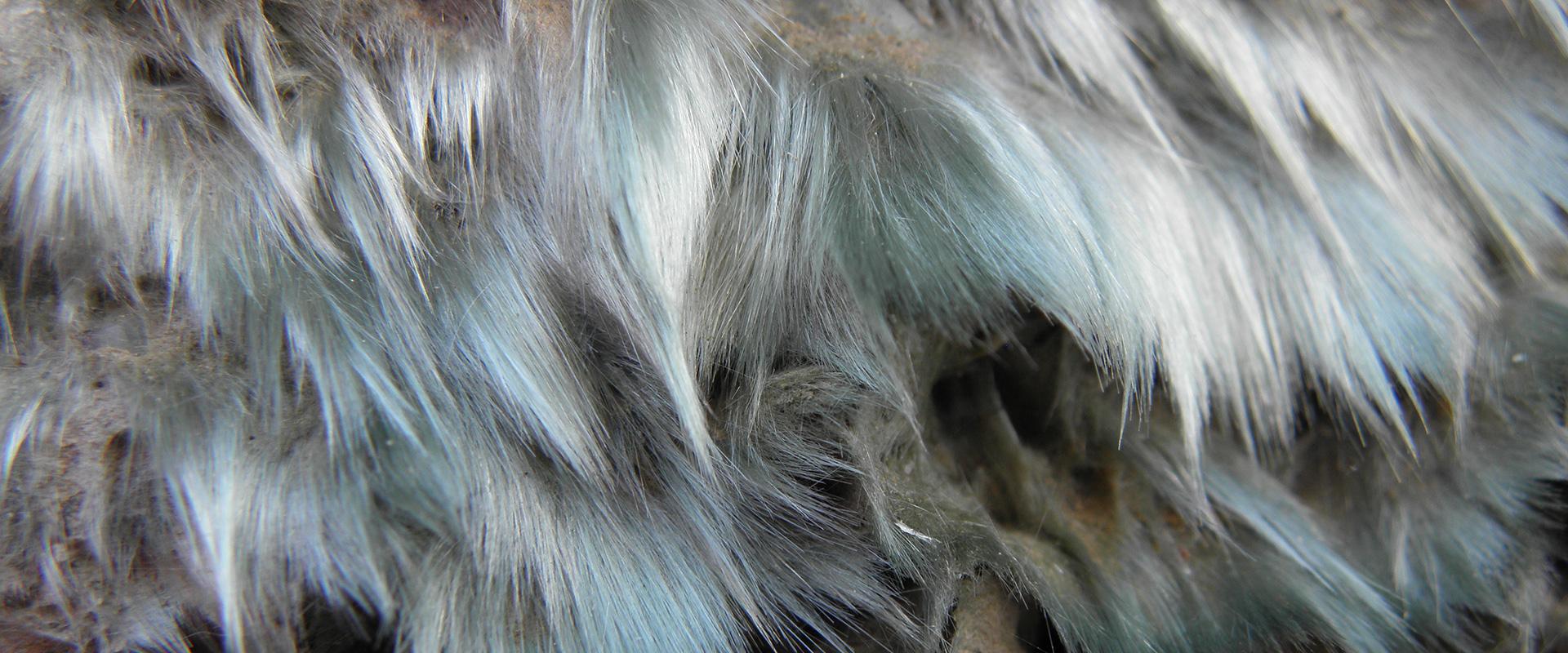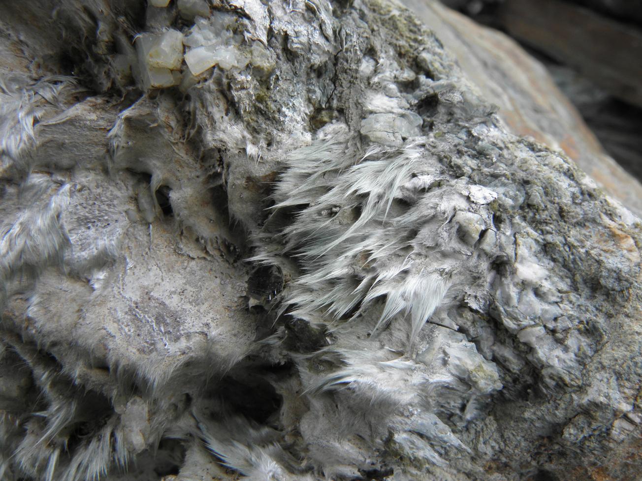
A cluster of natural asbestos flexuous fibres (Haute-Corse).
© BRGM - Didier Lahondère
The need
Preventing or mitigating the health risk due to pathologies related to the environment is a major focus for the PNSE3 (3rd National Health Environment Plan; 2015 > 2019). One of the actions undertaken aims in particular to "continue to make and exploit maps of asbestos zones in high-risk areas in order to reduce exposures related to natural asbestos outcrops". The main asbestos-bearing areas in metropolitan France are located in the ophiolitic sutures of the Western Alps chain, of which Upper Corsica is a southern extension. Other geological domains are also affected by the presence of asbestos-bearing land, such as the external crystalline massifs of the Alps, the Armorican Massif, the Pyrenean chain, the Central Massif, the Vosges Massif or the Maures range. Asbestos outcrops are known in these geographical entities, which have often been exploited on a small scale in the past, but it is necessary to better determine the areas at risk of asbestos pollution.
The results
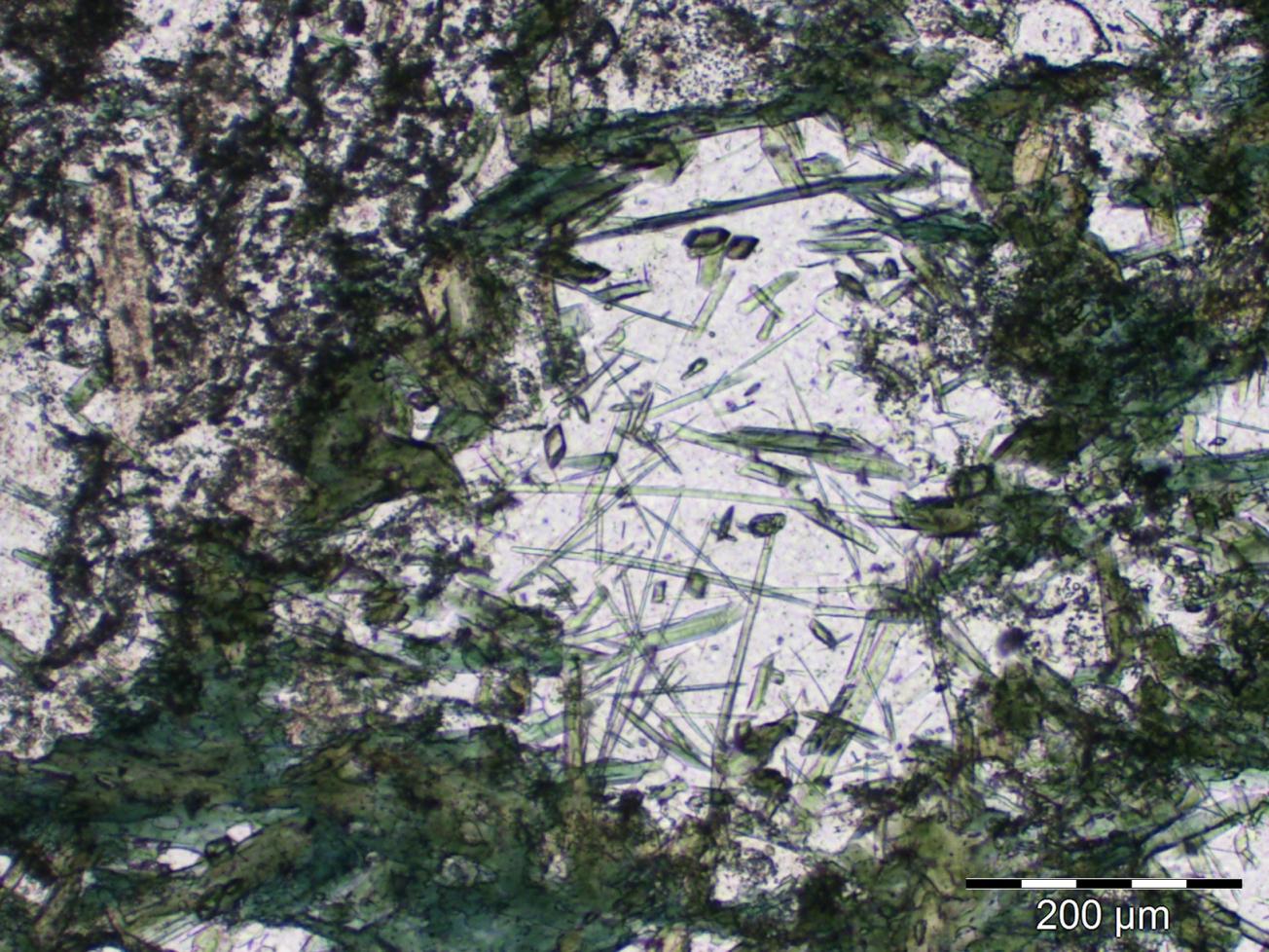
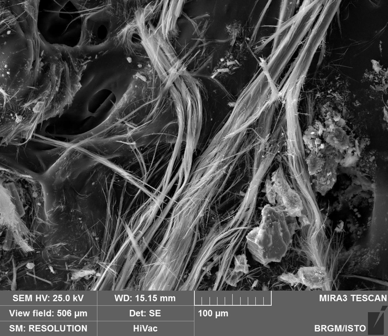
The expert reports on asbestos surveys undertaken in 2009 showed that several lithologies could contain occurrences of natural asbestos in the strict sense of the term, in particular ultrabasic and basic rocks of varying degrees of metamorphic proportions. These rocks sometimes have very fine acicular amphiboles but with non-asbestiform habitus defined as Elongate Mineral Particles (EMPs). BRGM's analytical techniques such as the polarizing optical microscope, the electron microprobe and the scanning electron microscope (SEM) have enabled analysts, through morphological and chemical characterization, to differentiate strictly asbestos particles from EMPs in these rocks, but also in rocks collected from about 100 active quarries studied by BRGM. In the latter case, in addition to analytical techniques, the PIMAC process, developed specifically for quarry materials by BRGM, made it possible to determine the ability of aggregates to release and emit asbestos particles.
Cartographie de l’amiante environnemental en France métropolitaine
Using the results
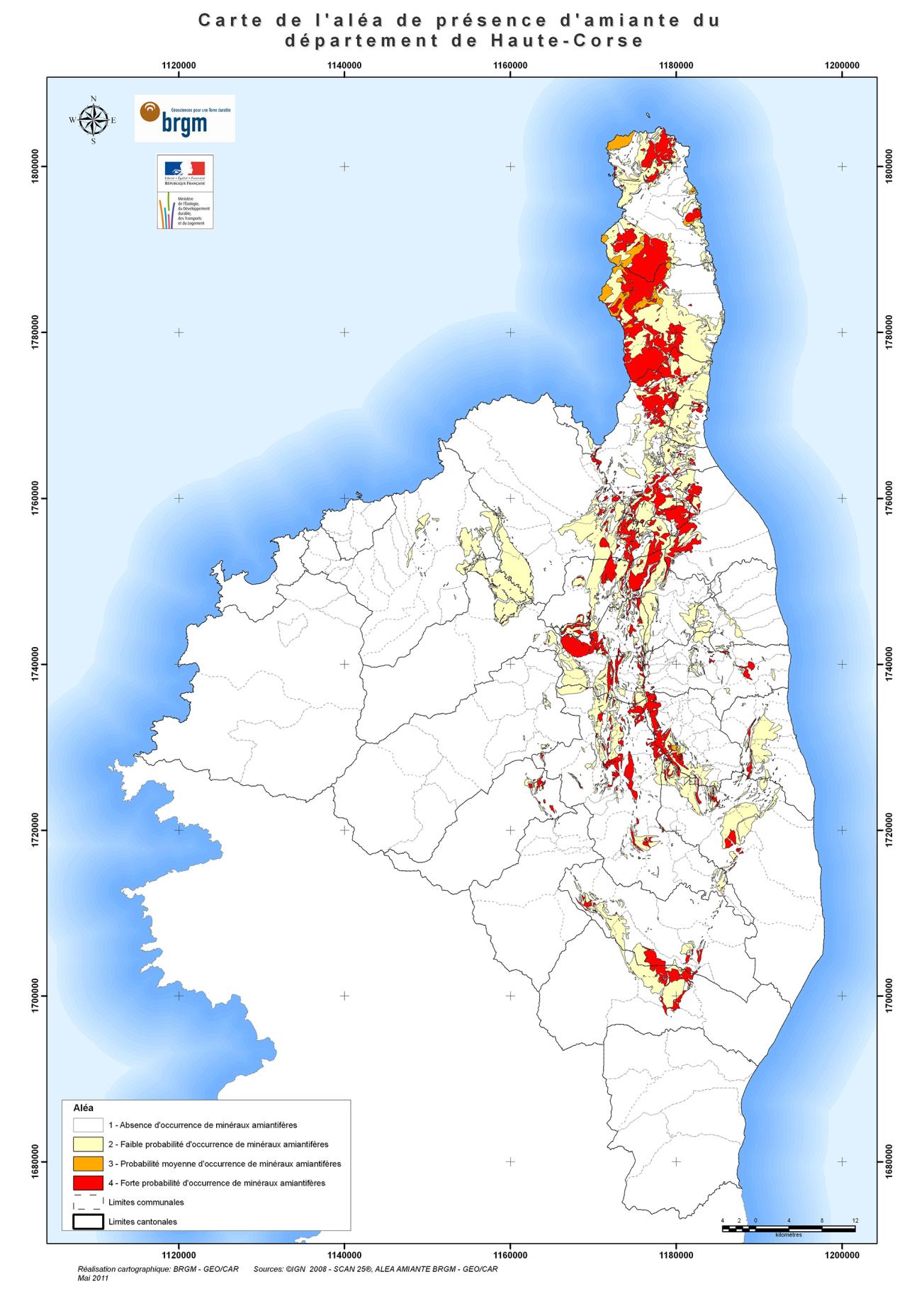
The Ministry for the Ecological and Inclusive Transition currently has environmental asbestos hazard maps covering different sectors of Metropolitan France: the départements of Isère, Hautes-Alpes, Haute-Corse, Savoie and Loire-Atlantique, and others covering the Massif Armoricain, the Pyrenees and soon six more areas covering the Massif Central. BRGM will spend two years (2019 and 2020) finalising the mapping of environmental asbestos in Metropolitan France (Vosges, Cévennes, Deux-Sèvres, Les Maures, etc.). All these maps make it possible to locate risk areas in order to warn the population and workers of the actual or potential presence of asbestos in different geological entities.
The partners
- Ministry for the Ecological and Inclusive Transition - General Directorate for Risk Prevention
- UNPG - National Union of Aggregate Producers
- USIRF - Union Syndicale de l'Industrie Routière Française (for the development of the PIMAC process)
Public reports
-
Mapping of environmental asbestos hazards (Pyrenees)
-
Mapping of environmental asbestos hazards in the départements of the Armorican Massif
-
Mapping of environmental asbestos hazards in the Isère département
-
Mapping of environmental asbestos hazards in the Hautes-Alpes département
-
Mapping of environmental asbestos hazards in the Loire-Atlantic département
-
Mapping of environmental asbestos hazards in the Savoie département
-
Mapping of environmental asbestos hazards in the Upper Corsica département
-
Mapping and mineralogy of environmental asbestos in the municipality of Corte (Upper Corsica)
-
Mapping and mineralogy of environmental asbestos in the municipality of Bustanico (Upper Corsica)
-
Pre-feasibility study for the extraction and identification of asbestos-bearing minerals in highly cohesive materials in natural environments and quarries

