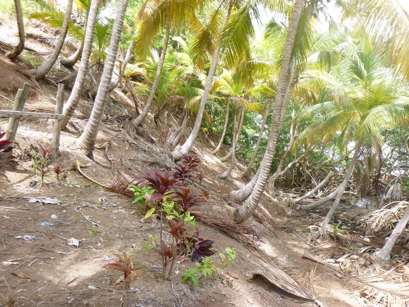
Evidence of surface landslips as markers of large-scale movement of an entire slope in the Pointe à Bacchus sector of the Petit-Bourg municipality in Guadeloupe.
© BRGM
The need
The Pointe à Bacchus sector, to the north of the municipality of Petit-Bourg, is exposed to ground movement hazards of two types: a fast-moving type liable to cause slope failure and a slow-moving type likely to cause landslips (with low probability). Pointe à Bacchus is a residential sector with about forty homes. These partly straddle the statutory strip of public land along the coast and most of their occupants do not have titles to the properties they occupy. This project was launched in response to a twofold need at the DEAL Guadeloupe: (1) for design and scheduling of possible adaptation strategies to ensure the protection of people living in the sector over the long term (2) for a comparison of the economic implications of the two pathways, and especially of cost-sharing between the State and the households to be relocated.
The results
Three different pathways are under consideration for the Pointe à Bacchus sector:
- relocation of all homes as of 2020 (R);
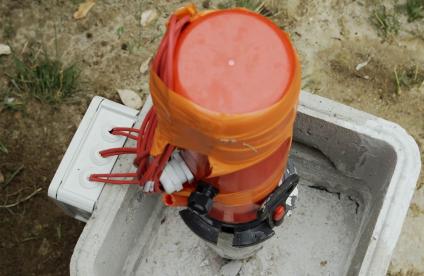
- relocation in 2020 of homes threatened by slope failure, implementation of a system to monitor large-scale land movement with, if necessary, relocation of the households concerned by 2030 (RS);
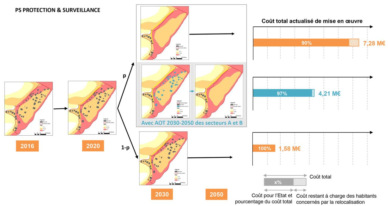
- protection in 2020 for homes threatened by slope failure, implementation of a system to monitor large-scale land movement with, if necessary, relocation of the households concerned by 2030 (PS);
In order to reduce the costs of relocation for each pathway, a variation involving temporary authorisation for occupancy is under consideration for homes at risk from large-scale land movement in the longer term.
As regards the economic implications, relocating all homes as of 2020 (pathway R) would cost around €8 million and concern 34 households, of whom 22 have no property title. Two ways of leveraging a reduction in costs are put forward:
- Implementing surveillance of large-scale land movement as of 2020 to improve knowledge of the hazard over time, with homes under threat from major land movement to be relocated only if the risk is confirmed (PS and RS pathways);
- Allow households to remain in their homes via temporary occupancy authorisations (TOA) for a period to be specified in advance according to how the hazard is expected to evolve: this would reduce the total cost of adaptation by up to 45% and the costs to be supported by relocated households by up to 100%.

Example of a Protection and Surveillance adaptation pathway - PS (p: probability of landslip occurrence).
© BRGM


