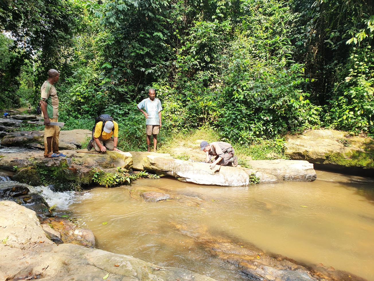
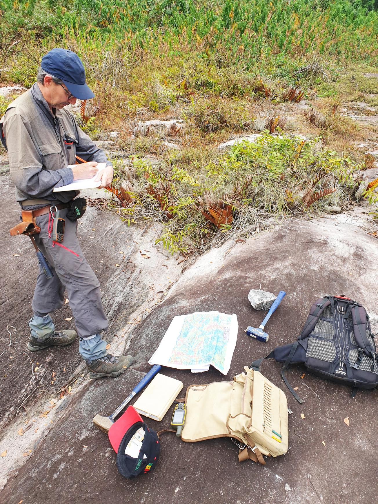
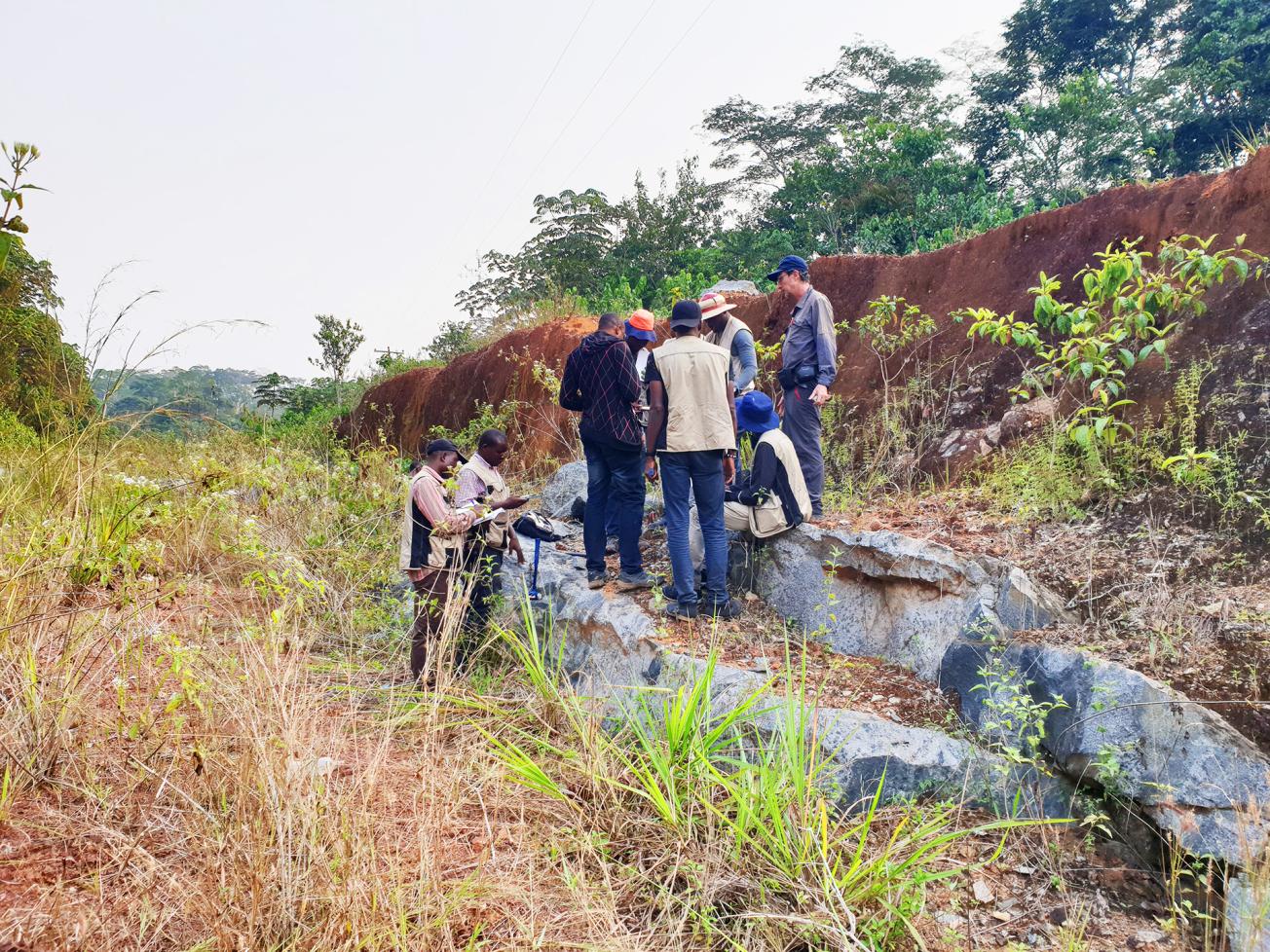
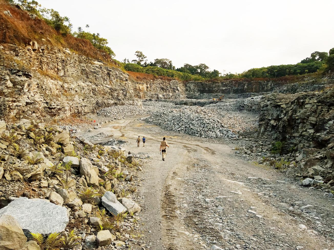
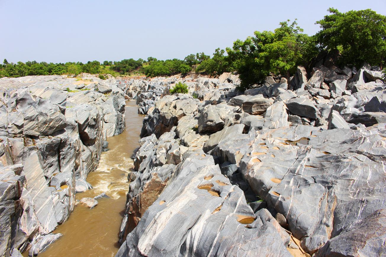
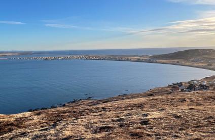
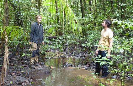
In 2016, two BRGM teams set off for Cameroon and Malawi. In the first of these countries, BRGM, together with Cameroonian (BEIG3) and Finnish (GTK) partners, is implementing a capacity building project in the mining sector (PRECASEM). The first phase (2016-2018) covers 170,000 km2; by extending the programme to 220,000 km2, the second phase (2019-2021) helped to update geological knowledge over almost the whole of Cameroon (80%)! "It was still a matter of updating and supplementing the country's geological map and carrying out geochemical exploration surveys, but this time we did not limit ourselves to mineral resources that might interest mining operators," stresses Claude Delor, project manager. "We also studied geomaterials, quarrying and building materials, ornamental rocks, etc., which could contribute to the local economic fabric in the short term."
An innovative work tool
Under the "Cameroon 2" project financed by the World Bank, three 1:1,000,000 maps are being drawn up, showing geological, metallogenic and geomaterial overviews of the country. These are complemented by 18 geological maps on a scale of 1:200,000 showing mineral resources and geomaterials – 14 others were produced under Cameroon 1 – along with 12 geochemical maps. A geological and mining information system (SIGM) has been created to centralise, conserve, disseminate and enhance these data, also providing access to almost a thousand documents. "The SIGM is an innovative working tool for mining operators and government departments, but it is also a first-rate geoscientific knowledge aid for teachers, researchers, students, planners, local authorities, etc."says Marc Urvois, the manager in charge of the SIGM.
Finally, some sixty Cameroonian counterparts educated in geochemistry and geology and trained to manage, update and maintain the SIGM have developed their knowledge and skills under the PRECASEM project. Capacity building also extending to materials and equipment has been provided to upgrade the scientific infrastructure. The results of Cameroon 2, which will be released locally in December 2021, have been widely reported in the national media.
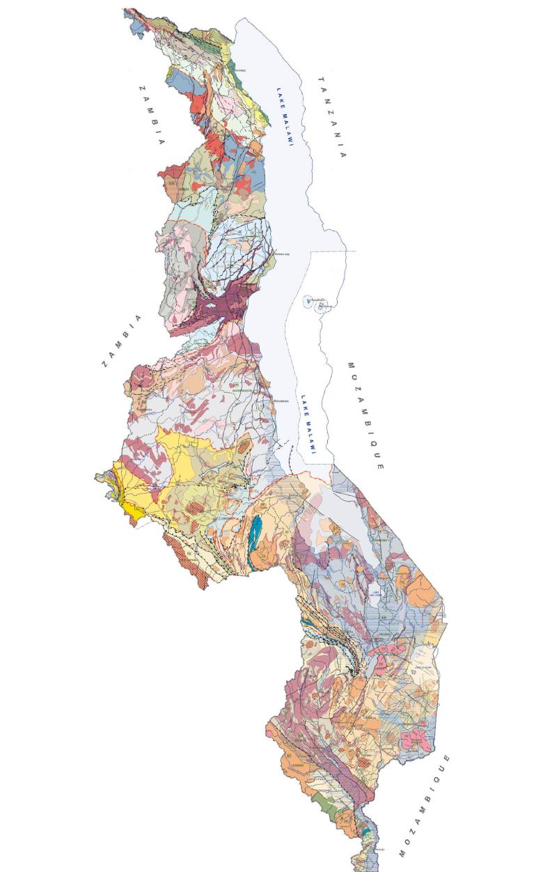
The Geological Mapping and Mineral Assessment of Malawi (Gemmap) project, funded by France via a framework agreement signed with this African country, was also completed in 2021. Implemented by a consortium led by BRGM, with partners from the geological surveys of Finland (GTK) and South Africa (CGS), Gemmap aimed to support the country's economic development by diversifying the mineral resources sector. This required an update of its geological map coverage and a new inventory of its mining potential. The whole country is now covered by forty 1:100,000 geological maps, ten geological maps and ten 1:250,000 structural maps, along with three 1:1,000,000 overview maps, including one of mineral resources.
"Cameroon 2" project financed by the World Bank
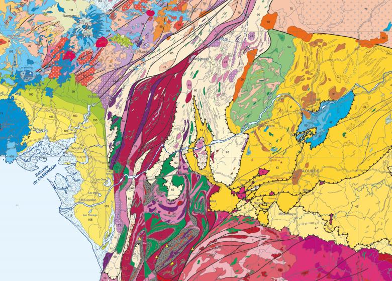
Extract from the 1:1,000,000 geological map of Cameroon. This type of geoscientific data is published on the new SIGM data portal (sigm.minmidt.cm), which contains almost 1000 documents, including the geological, geochemical and geomaterial maps produced during the Cameroon project.
© BRGM
Maps of natural hazards
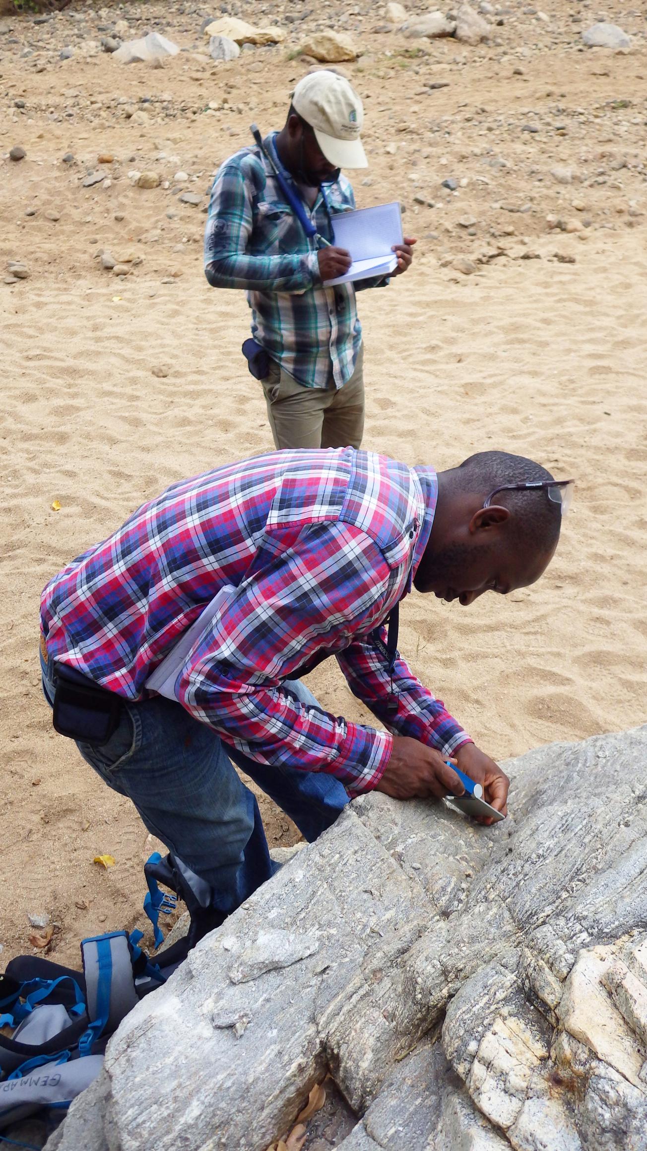
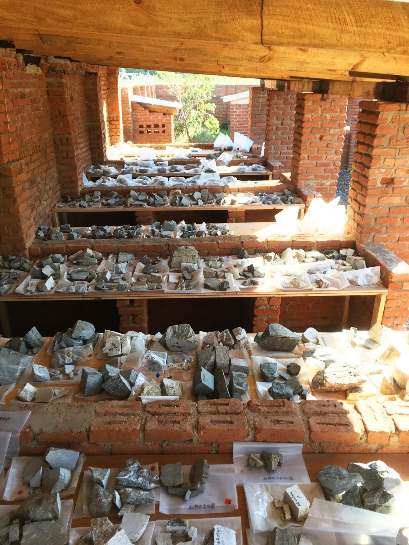
For the purposes of the geological map of Malawi, seven field surveys have been carried out by several teams simultaneously. For the mineral occurrence inventory, geochemical surveys have been carried out in seven areas on the basis of updated data. Natural hazard maps have also been produced, showing areas subject to different types of risks, particularly floods, landslides and earthquakes.
Gemmap has also provided 37 training courses to more than 300 Malawian trainees and students in the field and in the laboratory during internships and sessions and as part of degree courses, with master's degrees completed in Malawi, Ghana and Australia. "We have covered all the fields necessary for our counterparts to continue to deepen their geoscience knowledge," says Carol Zammit, assistant project manager. As in Cameroon, the laboratories have been equipped and renovated. A documentation centre has also been set up. In addition, an interim feedback conference was attended by 300 people over two days, including several mining operators.

