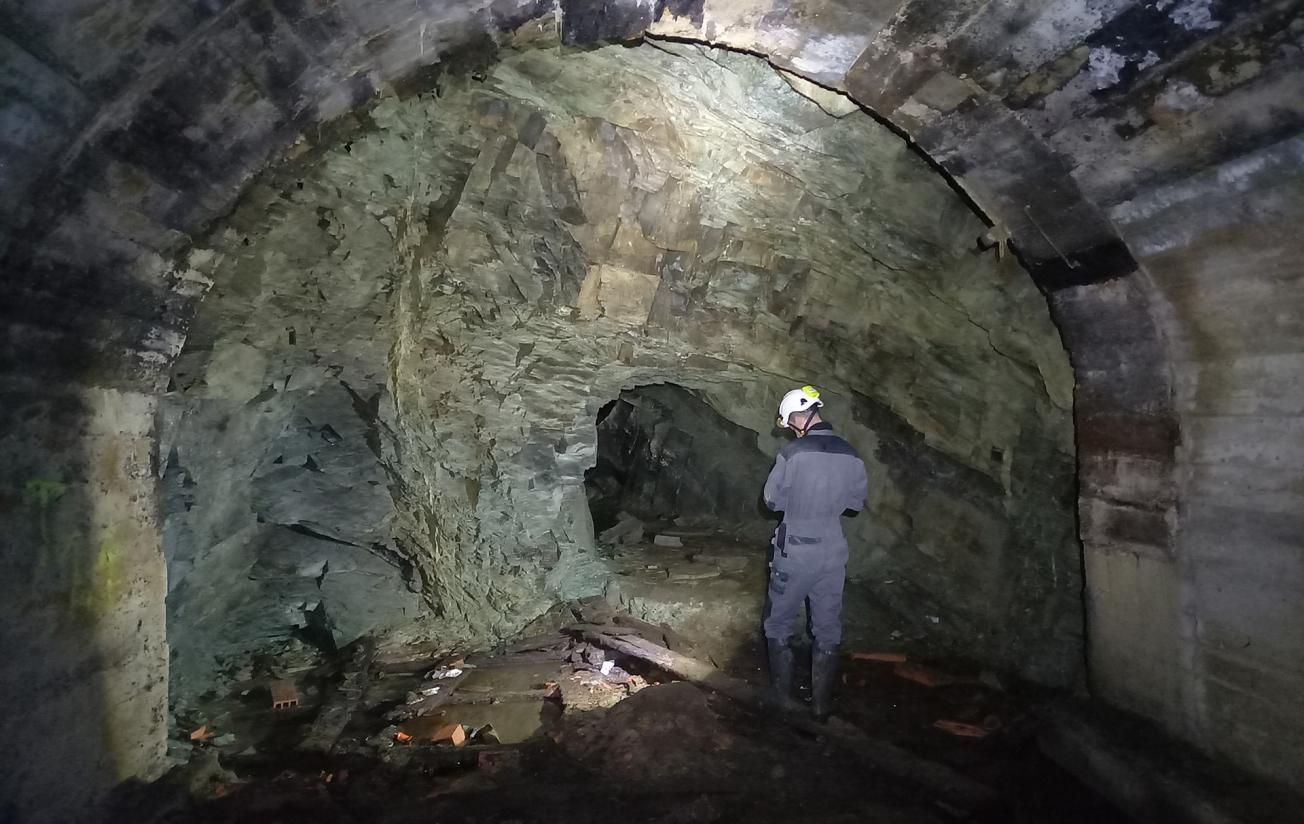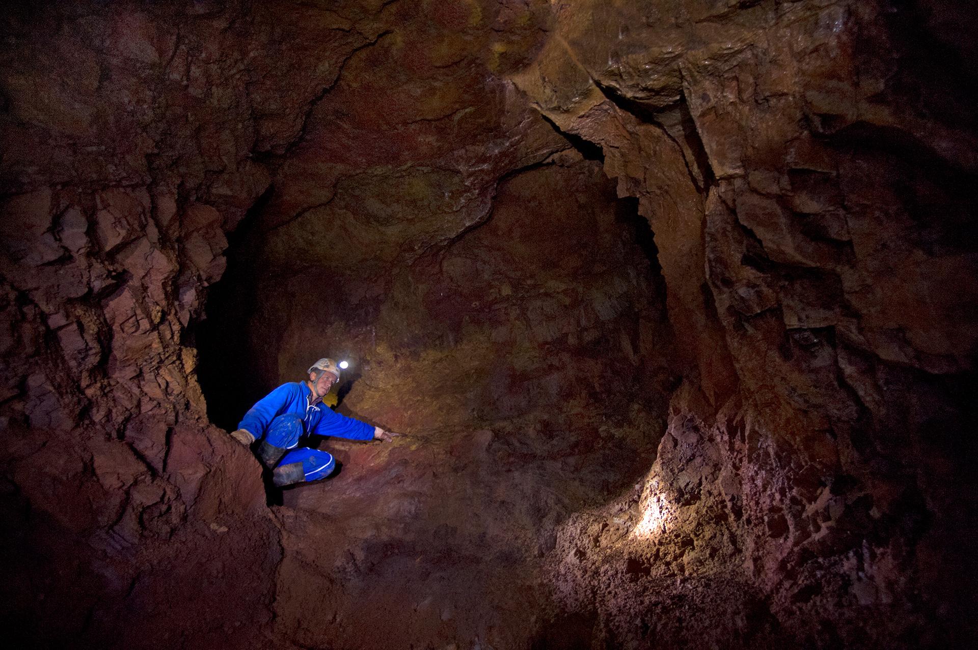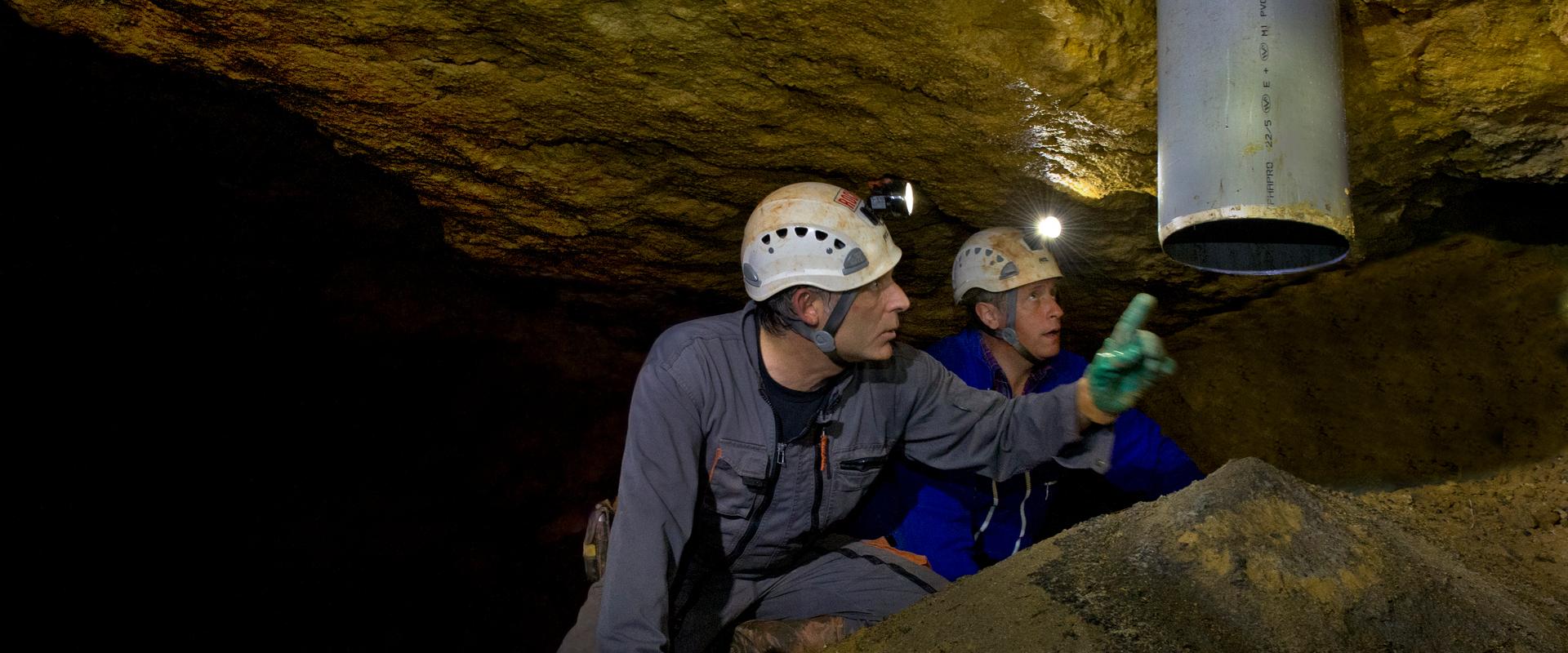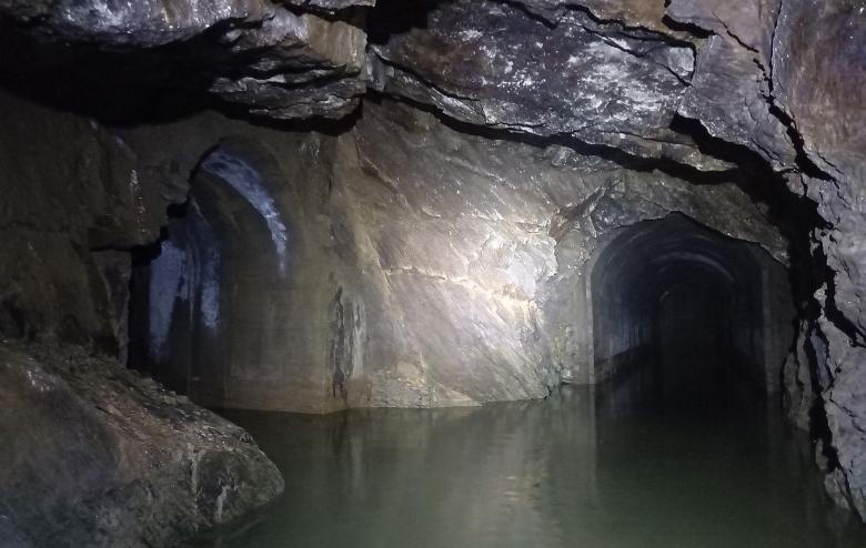
Former military cavity, partly bricked up, and an extended gallery with exposed rock (Cherbourg-en-Cotentin, 2021)
© BRGM
The need
Following a number of surveys conducted in 2013 and 2015, BRGM confirmed the existence of numerous underground cavities in the Cherbourg-en-Cotentin area. In the light of these findings, BRGM contacted the Manche Departmental Authority for Inland and Marine Areas (DDTM) to suggest as exhaustive a survey as possible of all the cavities (military or not) present in the area covered by the municipality, in order to map them precisely and carry out a stability diagnosis for those that could represent a danger at subsurface level. The final objective was not only to raise awareness of the existence of these underground cavities and their inherent risks, but also to recommend possible safety, monitoring and prevention programmes.
The results
Of the 35 cavities listed following a bibliographic search and located during surface investigations, nine were selected as priorities for precise 3D mapping using a ZEB 3D laser-meter to measure their proportions and carry out a stability diagnosis. Following this work, all the data relating to the geometry of the underground structures (contours, proportions, etc.) and their stability (instability of the vault, fracturing, etc.) were entered into a dedicated GIS database, which can be used by State services.
This survey made it possible to identify the main danger zones and to issue the necessary recommendations (additional diagnostics, safety operations, etc.) to limit and manage the risks associated with each of the cavities surveyed. Of the nine cavities surveyed, seven are not thought to represent a threat in the short-term, in terms of subsurface risk. The last two cavities, however, have been defined as "major subsurface danger zones" owing to the major instabilities observed underground.
Using the results
This survey provided State services and local authorities with the information necessary to draw up a report on the risks associated with abandoned man-made underground cavities in the Cherbourg-en-Cotentin area and, where necessary, to implement the corrective safety measures necessary in relation to the issues concerned.

Working with BRGM is always a source of great satisfaction to us, particularly because they transcribe the results of their work in such a way that everybody can understand them and take them on board. The inventory for locating and identifying cavities is no exception to this rule. This survey will enable us to implement a policy to monitor and maintain the cavities, as well as to support the municipality in the urban development of the subsurface.


