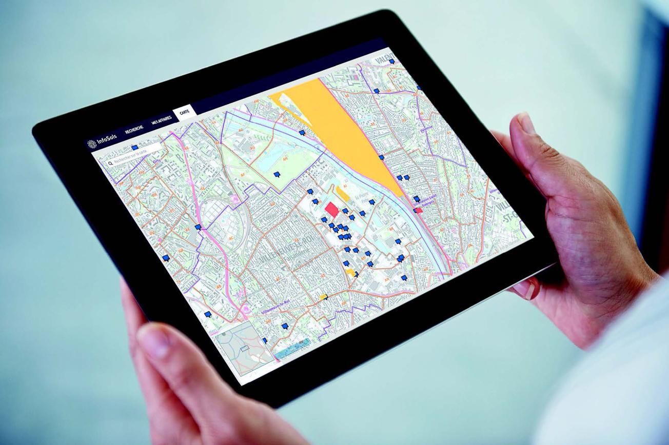
InfoSols, a new data management and dissemination tool for data on (potentially) contaminated and sites.
© BRGM
The need
Historically, data on soil pollution risks have been stored and enriched by a range of institutions in three different and complementary databases, namely BASOL (database on polluted or potentially-polluted sites and soils), SIS (soil information sectors) and BASIAS (historical inventory of former industrial sites and service activities): in practice, this can result in the same site being described several times, which leads to duplication in the information system. Although partial data interactions have been developed between these databases, the overall architecture remained complex and very expensive in terms of human and technological resources. To solve this problem, the General Directorate for Risk Prevention (DGPR) asked BRGM to consolidate the existing databases and to standardise the methods for acquiring and validating information on sites at risk from soil pollution, so that the data would be coherent. The objective was also to offer users a web platform with coherent and user-friendly interfaces to facilitate the administration of files and the daily management of technical data.
InfoSols is also part of a more global regulatory context, in particular the ALUR Act on access to housing and renovated urban planning, which aims, among other things, to improve information for citizens on land pollution, to optimise the monitoring and management of polluted or potentially-polluted land for the various stakeholders, and to preserve the memory of the location and activities of former industrial sites and service activities and publish maps of them.
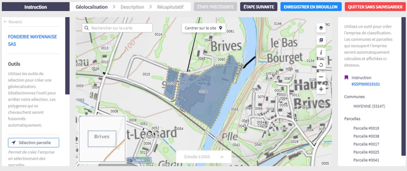
View of the InfoSols input interface.
© BRGM
The results
BRGM has been working since 2018, on the design of a single data model which structures the information available on polluted sites and soils in a coherent manner, covering industrial establishments in operation or not, government actions on land with proven or suspected pollution, and applicable regulatory provisions (soil information sectors or public utility easements). The structuring of these data has been carried out in such a way as to allow them to be disseminated in compliance with the European INSPIRE directive and to be compatible with other databases (ADES, etc.), for example by integrating registers from existing standards (SANDRE, NAF, etc.).
Work has been done to retrieve the existing data (from BASOL, SIS), incorporating quality and coherence control, in collaboration with the DREALs and the DGPR, thus ensuring a successful transfer of these data into the new database.
In order to facilitate the daily work of inspectors of classified facilities in their tasks of examining and updating information, BRGM has designed, in consultation with user groups, a coherent workflow and user-friendly interfaces featuring advanced input, search and browsing functions. One of the major functionalities developed concerns in particular the mapping of sites on the cadastral map.
The project was also designed to ensure interoperability with existing systems, namely:
- to use external “reference” data (plots database, land registry files, etc.) in order to facilitate data entry and ensure that the data is always up to date;
- to create strong interactions with the classified facilities database (S3IC and GUNenv) enabling the DREALs to access administrative and technical information on potentially-polluted sites.
Using the results
BRGM’s work took shape in 2020 with a first release of the InfoSols platform with consolidated BASOL and SIS data. This work is continuing in 2021 with a version offering more complete functionalities and content enriched with data from BASIAS. BRGM also supports users through specific actions, including training in the use of the tool, which has also made it possible to better explain and clarify the concepts related to land characterisation.
The Géorisques portal continues to disseminate data on polluted sites and soils for the general public. The data from the new InfoSols application can already be consulted there.
The partners
- Directorate General for Risk Prevention (DGPR) - Soil and Subsoil Bureau (BSSS)
- DREAL / DRIEAT

