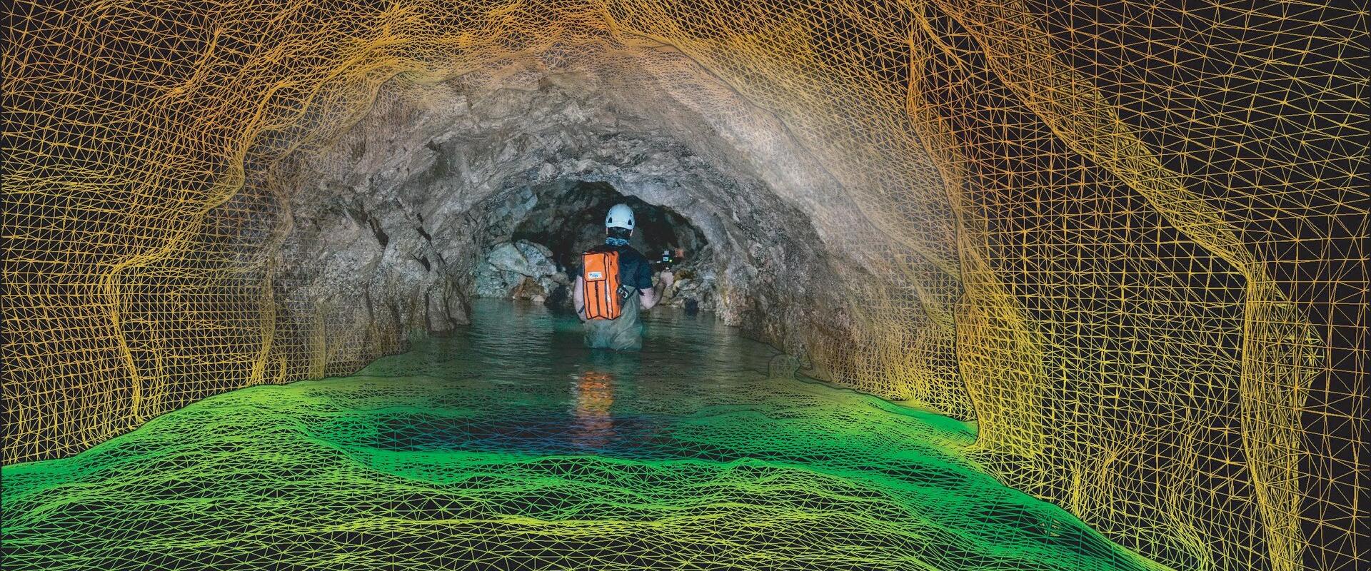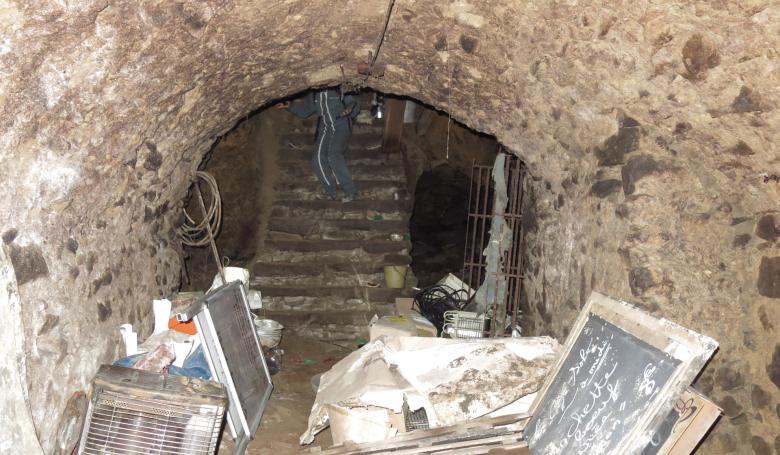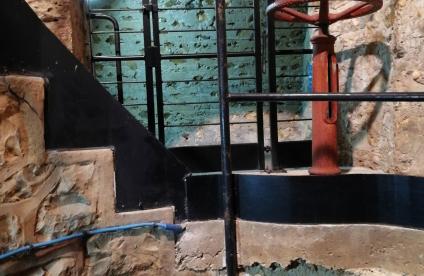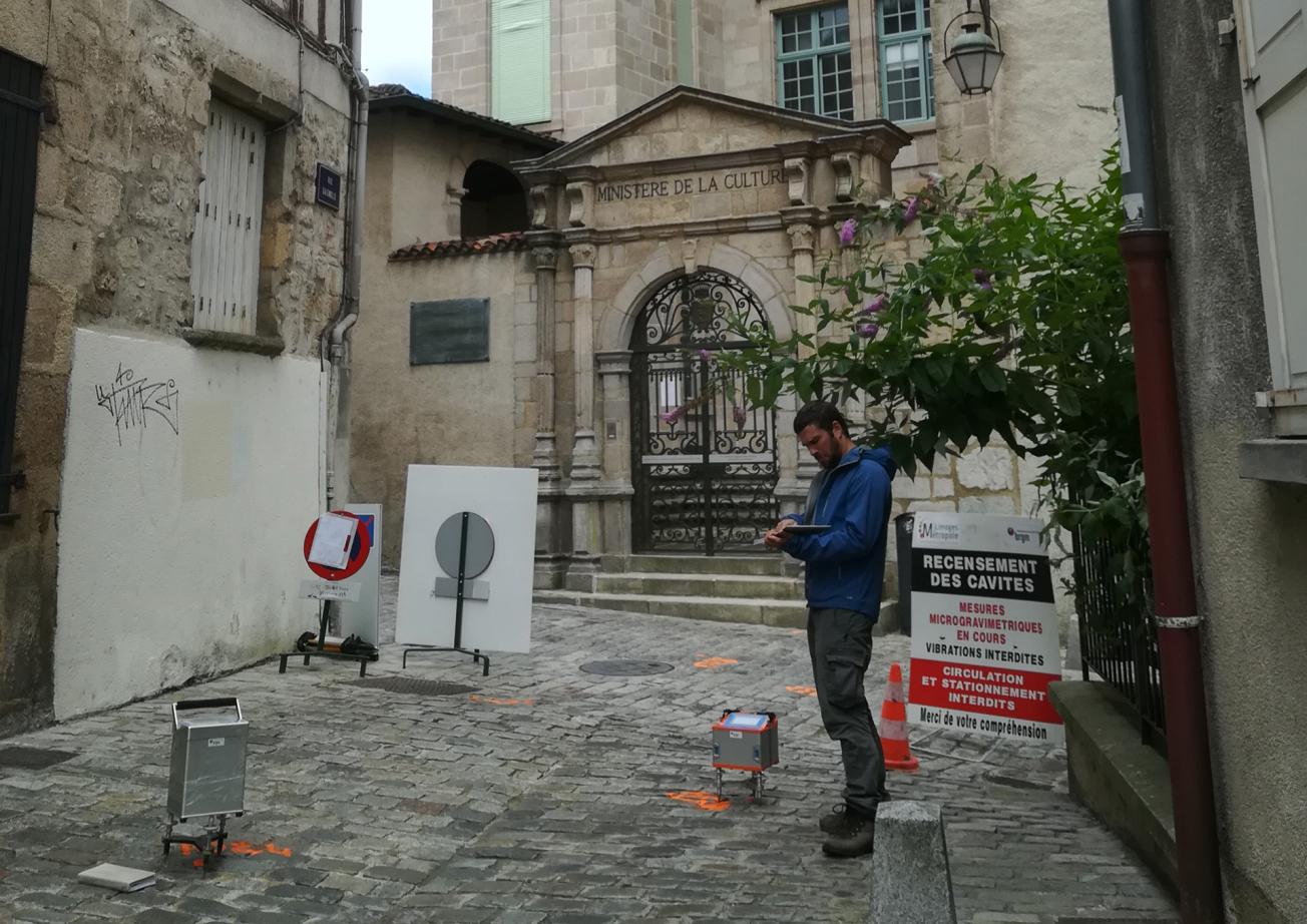
Microgravimetric campaign in Limoges (Haute-Vienne, 2017).
© BRGM
The need
In 2016, around fifty cavities were discovered during urban development work in the city centre of Limoges, some of which were previously unknown. Consequently, before launching any development operations in the city centre, the Limoges Metropolitan Council wanted to have the most detailed inventory possible of any underground cavities, which could potentially affect the city's urban planning.
The results
The methodology used to carry out the inventory was based on two complementary approaches:
- collecting and compiling all existing data,
- collecting new data using geophysical methods (microgravimetry).
Existing data were collected from institutions, organisations and associations, supplemented by information gathered through a survey conducted among the inhabitants of the historic centre and field visits. The ArchéA association, which has been compiling knowledge and information about the city's underground cavities since the 1980s, actively participated in this study.
The microgravity campaign used more than 7,000 measurement points. The residual microgravimetric anomalies were then corrected to take into account the effect of known cavities, finally revealing 416 negative apexes (anomalous points).
The compilation and digitisation of all the data collected identified 801 underground cavities, of which only 160 were listed in the national database of underground cavities at the start of the project. The results were delivered in the form of a database containing all the information collected about the cavities, supplemented by the microgravimetry results, highlighting the sectors with anomalies. Specific recommendations have been made for each type of apex, depending on the level of knowledge available concerning the origin of the anomalies in question.
Using the results
The work carried out during this study enabled us to develop a decision-making support tool for the local authority, based on significantly improved knowledge about the presence and distribution of underground cavities in the Limoges area.

Over the centuries, many cavities were dug out in Limoges for underground food storage, but in a somewhat anarchic manner. BRGM's work will help anticipate and avoid a certain number of problems during urban planning operations. It has enabled us to considerably improve our knowledge of the city's terrain and acquire a maximum amount of information, resulting in a database that provides information about contacts, the type of reconnaissance visits they carried out, the surface area, etc. It contains a wealth of information!

