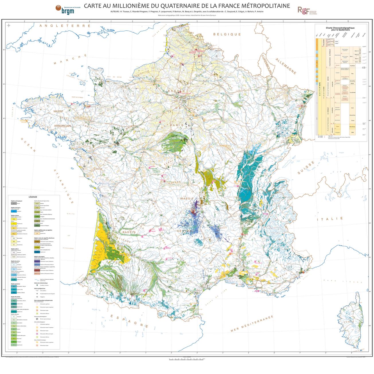
Geological map of the Quaternary on a scale of 1:1,000,000
© BRGM
The need
Most human activity takes place on the most superficial part of the earth's crust. Quaternary geological formations cover a large part of France, so there is a considerable demand concerning the mapping and properties of such terrain. However, the cartographic information currently available on these formations needs to be brought together and further developed in order to make it easily usable in application areas such as spatial planning or resource and risk management. The purpose of the map produced by BRGM is to group all the reference geological data and knowledge relating to Quaternary surface geological formations for metropolitan France.
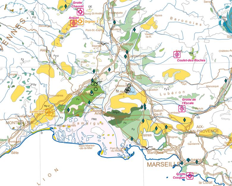
Geological map of the Quaternary on a scale of 1:1,000,000 – close-up of part of south-east France
© BRGM
The results
The Quaternary map was based on a study started in 2009 on a review of knowledge on Regolith formations on a scale of 1:1,000,000, completed by data collected from the thematic maps available (geomorphological maps, regional maps, etc.). In addition to the rock units, the map includes a range of specific data such as remarkable Quaternary sites (climatic, archaeological, etc.), occurrences of paleo-permafrost as well as the contour lines marking the maximum extent of the glaciers during the Quaternary.
As this approach is part of the French Geological Reference Programme (RGF), the key is based on the lithostratigraphic and chronostratigraphic reference systems approved by the RGF.
Using the results
This map will contribute to the next European Quaternary map on a scale of 1:2,500,000 (IQuaME). It is already available to the public on the InfoTerre portal, where it can be viewed in the "surface geology" tab, in the form of two searchable layers: (1) geology and (2) spot observations.

