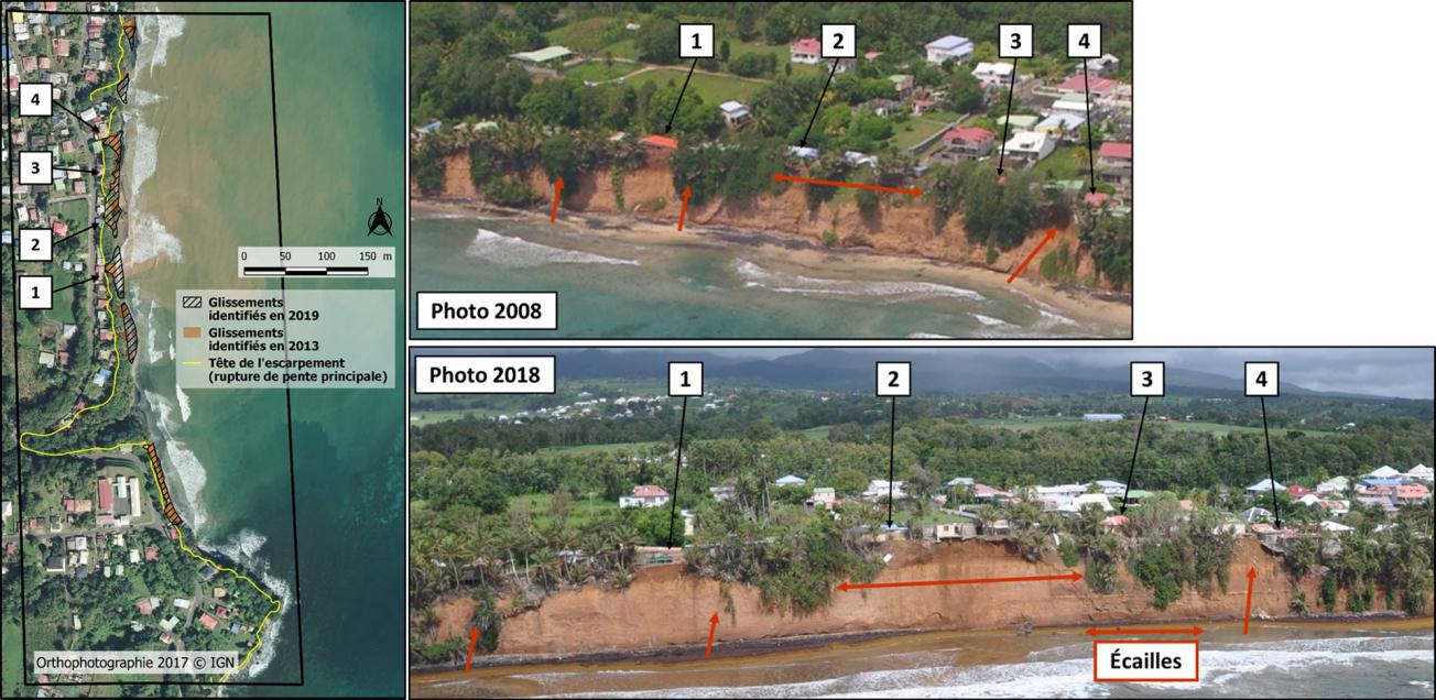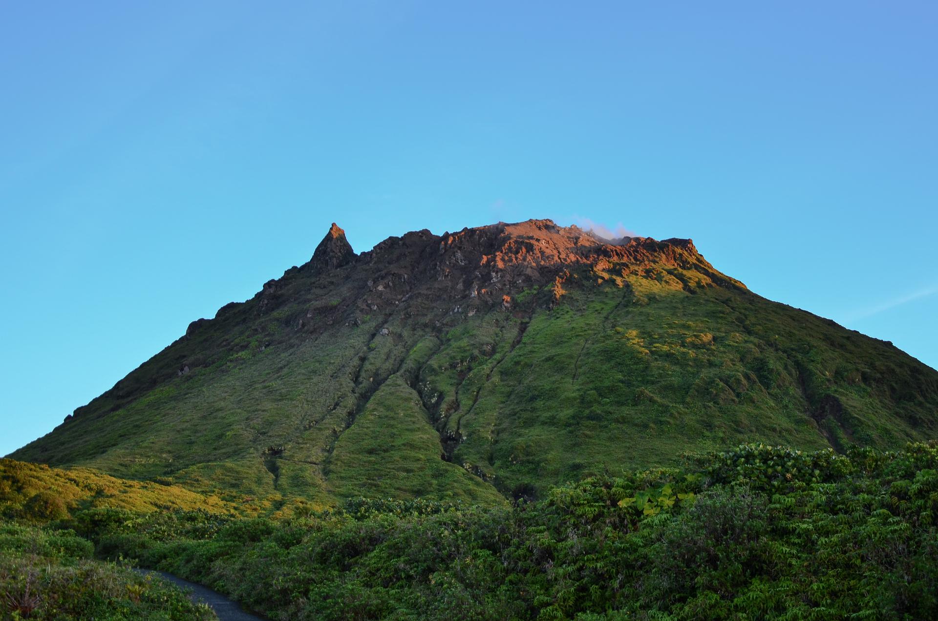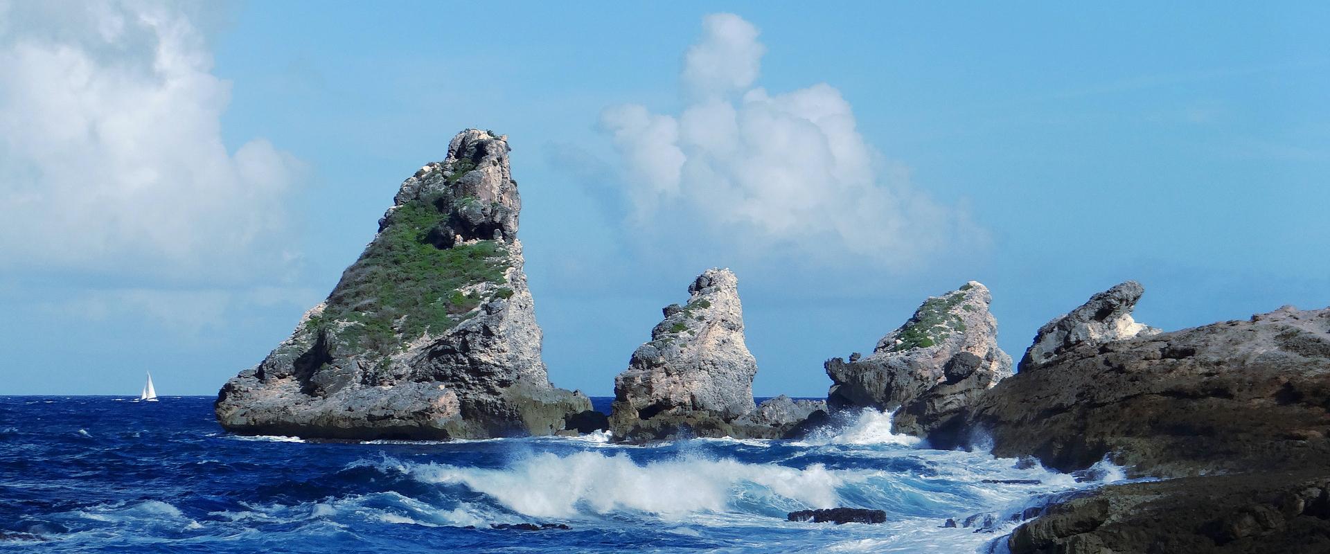
Evidence of landslides and mapping of ground movements along the cliff in the Carangaise-Poirier district (Guadeloupe).
© BRGM
The need
It is estimated that there are nearly 10,000 buildings in Guadeloupe that have been built without rights or deeds in the 50 pas geométriques area (a coastal area 81.2 m wide from the shore and part of the public maritime domain). In order to regularise this situation, Act No. 96-1241 of 30 December 1996 on the development, protection and enhancement of the so-called cinquante pas géométriques (50-pace protection) area in the overseas departments authorises the State to transfer them to their occupants under certain conditions.
Although exposure to natural hazards was not originally a legislative criterion for land regularisation in this area, it has been a consistent policy of the State to take it into account. As a result, the regularisation documentation is examined with regard to the hazard zoning in the Natural Risk Prevention Plan (PPRN), and applications for dwellings located in a high-hazard zone of the PPRN (red zone) cannot be regularised.
Article 28 of the law updating the Overseas Territories Act (No. 2015-1268 of 14 October 2015) supplements Articles L. 5112-5 and L. 5112-6 of the General Code of Public Property with the following paragraph: "Land may not be transferred to private persons when the construction is located in an area exposed to a serious and foreseeable natural risk that threatens human lives."
Under these conditions, it is therefore up to the State to base its regularisation on this criterion and not only in relation to the high-risk zone (red zone) of the PPRN. The purpose of this study is precisely to (1) establish a generic methodology to characterise areas exposed to a serious and foreseeable natural risk that threatens human lives and (2) to apply it to four pilot sites in varied geological and geomorphological contexts.
The results
The purpose of the approach developed by BRGM is to identify:
- firstly, areas presenting a serious and foreseeable natural risk: areas at risk of flooding, landslides, coastline recession and marine submersion, in accordance with the national methodological guidelines;
- secondly, to characterise buildings within these danger zones that present a threat to human life by analysing a set of objective and quantifiable criteria (vulnerability of the building, crisis preparation and management, preventive information, accessibility of emergency services and availability of shelter in the event of an emergency, etc.).
The proposed methodology for identifying life-threatening and non-life-threatening buildings in areas of Severe and Foreseeable Natural Risk (RNGP) is based on a flow chart detailing the different potential phenomena: landslides, marine submersion, mechanical wave impact or storm surge associated with the marine submersion hazard, coastline recession and watercourse flooding.
Using the results
This methodology was first applied to identify areas of serious and foreseeable natural risk threatening human lives in Petit-Bourg and Capesterre-Belle-Eau and for the municipalities involved, the Agence des 50 pas géométriques and DEAL Guadeloupe, to take steps to relocate property and people.

We wanted to know how to flesh out these concepts. This methodology, tested on four pilot sites, has enabled us to move forward. These results, which led to an increase in area of the red zone, do not solve the problem, but this study has nevertheless provided visibility and the partners are now better equipped to jointly consider a new concerted approach in Guadeloupe and Martinique. It is important to find the right balance.
Public reports
-
Characterisation of serious and foreseeable natural risks threatening human lives Phase 1 - Development of the methodology - Final report
-
Characterisation of gravity hazards and identification of areas with a serious and foreseeable natural risk threatening human lives - Final report
-
Expertise on risk assessments carried out for the Agence des 50 pas géométriques of Guadeloupe and applicability of the Letchimy Act -Final report


