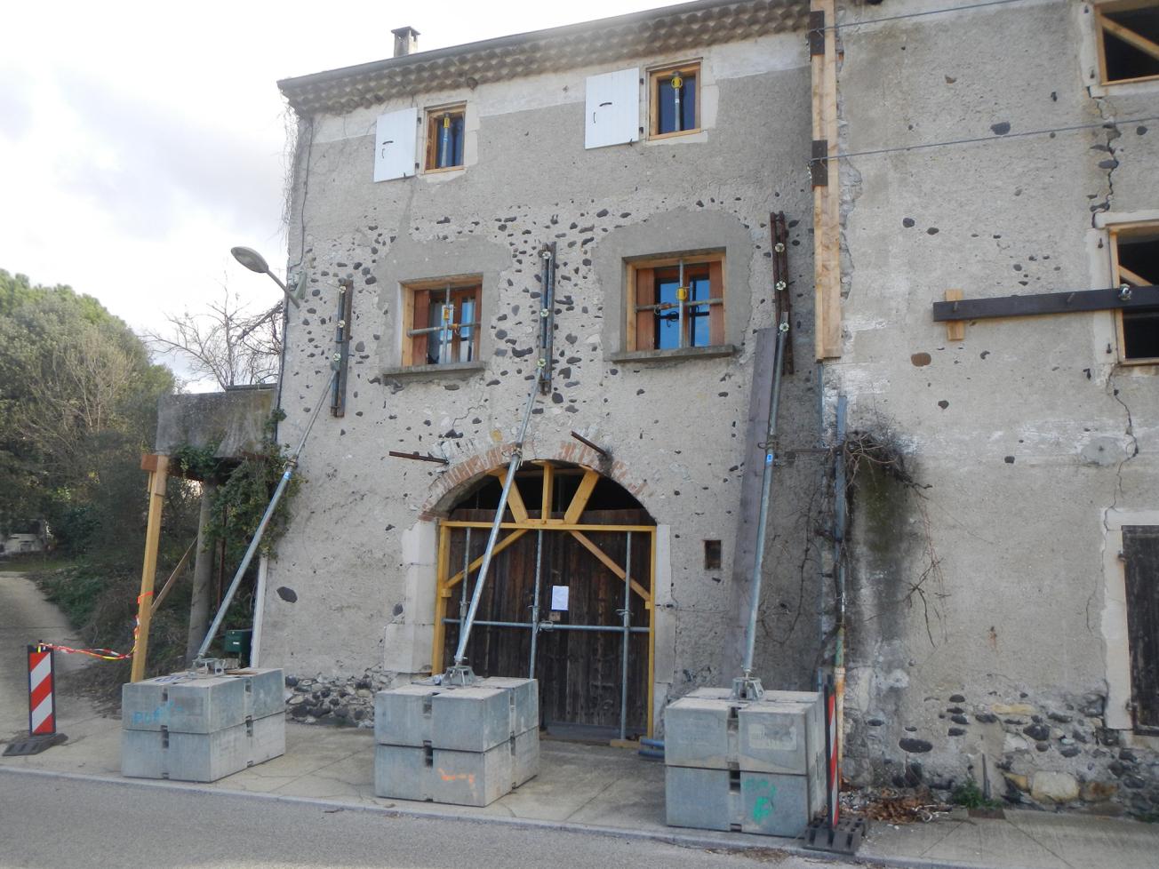
Consolidation of a house damaged by the earthquake in Le Teil (municipality of Viviers, 2020)
© BRGM - Nicolas Taillefer
The need
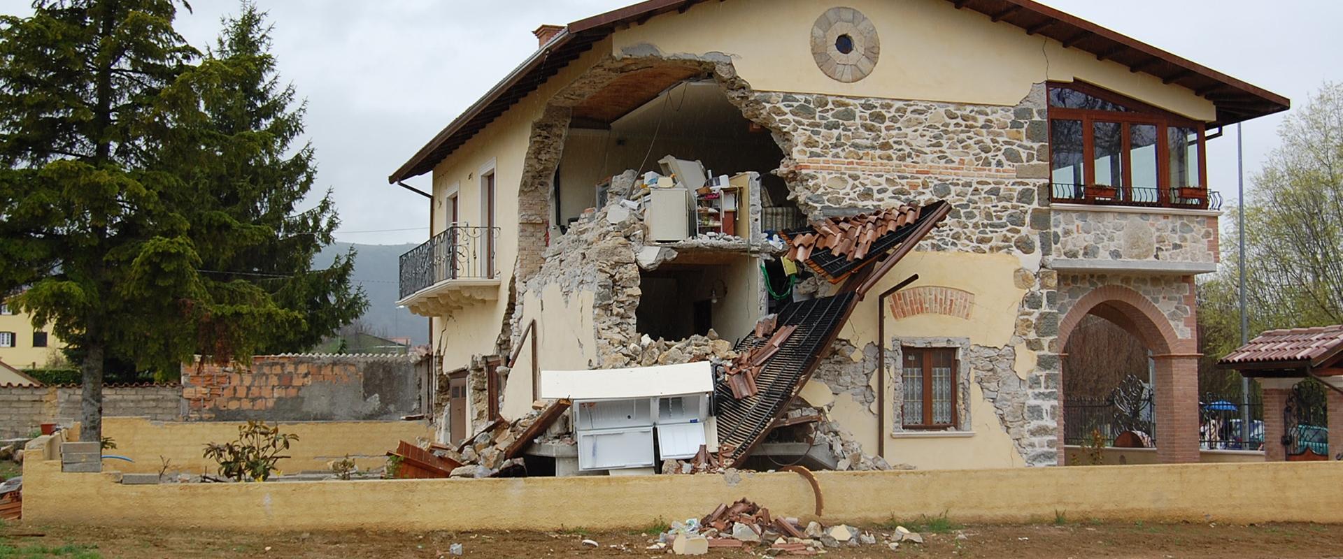
Le Teil is an average-sized municipality (8,700 inhabitants) which was very heavily affected by the earthquake of 11 November 2019 (850 decrees prohibiting access to around 2,700 buildings in the municipality). Observing the process implemented to enable a return to normal life in Le Teil (the municipality that was the most affected by the earthquake) will teach us valuable lessons on how to improve resilience to seismic risks in various regions.
The results
In 2021, with the support of the DGPR, BRGM suggested setting up a system to monitor and observe the reconstruction phase following the November 2019 earthquake. The observations were to primarily focus on the municipality of Le Teil. The aim was to start collecting data and provide regular updates over subsequent years, in order to obtain a detailed analysis of the reconstruction operations across the municipality. This analysis will ultimately enable us to identify the factors that have a positive or negative impact on an area's resilience to seismic risks at national level (for continental France).
Following the earthquake, valuable field data were collected concerning the extent of damage to buildings, thanks to the deployment of the AFPS's "Emergency" plan. The post-seismic mission conducted by the AFPS also collected important information concerning the various stakeholders involved and the recovery strategies.
Two years after the earthquake, the municipality was able to begin its reconstruction, notably drawing on the institutional framework of a Partnership-based Development Plan (PPA) to coordinate the stakeholders involved and the various actions that will not only contribute to helping the area recover from the catastrophe, but also improve the living environment. Indeed, the earthquake affected an area that was already vulnerable from a socio-economic standpoint, and the municipality was already looking at potential urban renovation projects. The PPA will bring together all the stakeholders and establish a certain strategic continuity in terms of urban planning, while also drawing on the reconstruction operations to accelerate the municipality's urban transformation. The creation of an observatory to monitor and analyse the reconstruction process underscores the actions and milestones proposed in the PPA plan.
Detailed information has been collected concerning the buildings in the municipality in order to quantify the extent of the damage and how it evolves over time. A reference base of the building stock has been established to determine the total number of buildings and their main characteristics. Finally, as regards the organisation and coordination of the various players involved in the reconstruction, the work carried out in 2021 highlighted the crucial role of insurance experts in the process, and also provided a clearer picture and appreciation of the institutional context.
Using the results
The campaign is continuing through 2022, notably with a view to identifying the administrative and urban planning tools used in the reconstruction and measuring how the process is perceived by the local population. The actions carried out will also demonstrate the effectiveness of quantitative tools used to observe the reconstruction (assessment of changes to the area's vulnerability based on the works carried out). The campaign will continue over the next few years, particularly in order to ensure annual updates of data through field visits and local consultations, and to monitor the changes in the indicators, in relation to the PPA's projections.
The partners
- General Directorate for Risk Prevention (DGPR) at the French Ministry of Ecological Transition,
- Municipality of Le Teil, the Collective of victims of the disaster, Prefecture of the Ardèche,
- French Association for Earthquake Engineering (AFPS),
- LAGAM Laboratories at the Paul Valéry University in Montpellier and the PACTE of the University of Grenoble Alpes


