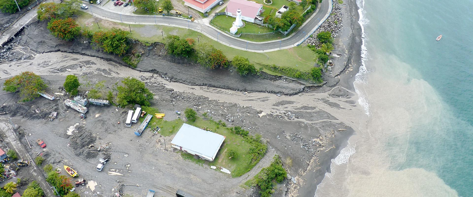
Since they are subject to extreme cyclonic episodes and a gradual rise in sea-level as a result of climate change, Caribbean coastlines are vulnerable to hazards such as coastal erosion and flooding.
While the risks concern above all the safety of people and property, they also include the tourism sector, which relies on preserving beaches and the natural heritage with its rich biodiversity of associated interface habitats such as mangroves, coral reefs and seagrass beds.
Tools and a monitoring network to manage coastal risks
The Interreg Carib-Coast programme, a European project coordinated by BRGM Guadeloupe, is designed to meet the environmental issues now facing the island territories of the Caribbean. The project, running from 2018 to 2022, has created a network of experts in coastal risk prevention and adaptation to climate change. The aim is to pool resources, co-construct and share information on surveillance, coastal risk prevention and adaptation to climate change.
The project covers all the Caribbean islands, with a particular focus on the French partner regions – Guadeloupe, Martinique and Saint-Martin – as well as Trinidad & Tobago, Jamaica and Puerto-Rico.
Carib-Coast: Caribbean Coastal Risk Prevention Network in relation to climate change
Carib-Coast: all the results of the project
A project organised around 4 work modules
Coordination of the project and the Caribbean partnership
With its broad range of partners, the Carib-Coast project is led by BRGM and supported in particular by the Association of Caribbean States (AEC) and the Caribbean Community Climate Change Centre (5C).
The project is co-funded by the Caribbean Interreg programme through the European Regional Development Fund. The Interreg Caribbean programme, piloted by the Guadeloupe Regional Council as the Management Authority, is a European programme enabling Guadeloupe, French Guiana, Martinique and Saint-Martin, which are all French and European regions, to undertake projects in cooperation with their neighbours in the Greater Caribbean, totalling over 35 countries in a zone extending from Mexico in the north to Venezuela in the south.
Observation and modelling of coastal hydrodynamics
The objective of this module was to create a hydrodynamic modelling catalogue to simulate current and future hazards, broken down into three main stages:
- Reviewing the state of current knowledge: during this stage the IRD, IFREMER and BRGM, reviewed existing knowledge of the issues and of the observation networks and hydrodynamic modelling platforms in the Caribbean for the members of the network.
- Refining the data: several measurement campaigns were organised in the French West Indies and in Trinidad and Tobago. They collected data to feed into numerical models that simulate current and future hazards (coastal erosion and flooding).
- Modelling to prevent coastal risks in the region: hydrodynamic modelling is being implemented to improve knowledge of the 3D circulation of water masses in the region by characterising the hydrological role of eddy structures (< 30 km) in the vicinity of Caribbean islands that lead to coastal flooding, taking into account the impact of extreme events such as cyclones.
Coastal erosion - monitoring and mitigation
During this stage the programme analysed existing monitoring practices and the needs for coastal monitoring in the Caribbean regions, with a focus on, and respective goals for, the following 4 ecosystems
- Mangroves: continue mangrove restoration actions and initiate other regional initiatives.
- Coral reefs: assess their evolution and their role in erosion via analysis of satellite imagery.
- Seagrass beds: promote the protection of this habitat and the use of eco-designed moorings.
- Beach top vegetation: draw up a best-practice guide for Caribbean regions focusing on the contribution of plants to coastal protection.
Support for decision-making
This last module aimed to provide decision-making tools for the prevention and mitigation of risks related to natural coastal hazards, including a networking platform and data bank, a network for monitoring storms and their impacts, the definition of a common strategy for the Caribbean regions and workshops to raise awareness among coastal stakeholders.


