A scientific mission to discover an underwater volcano
SISMAORE oceanographic campaign
Transcription
SISMAORE Oceanographic Mission to understand Mayotte’s seismic-volcanic crisis
A mission of 1.5 months at sea in the Comoros
Let's meet the three mission leaders
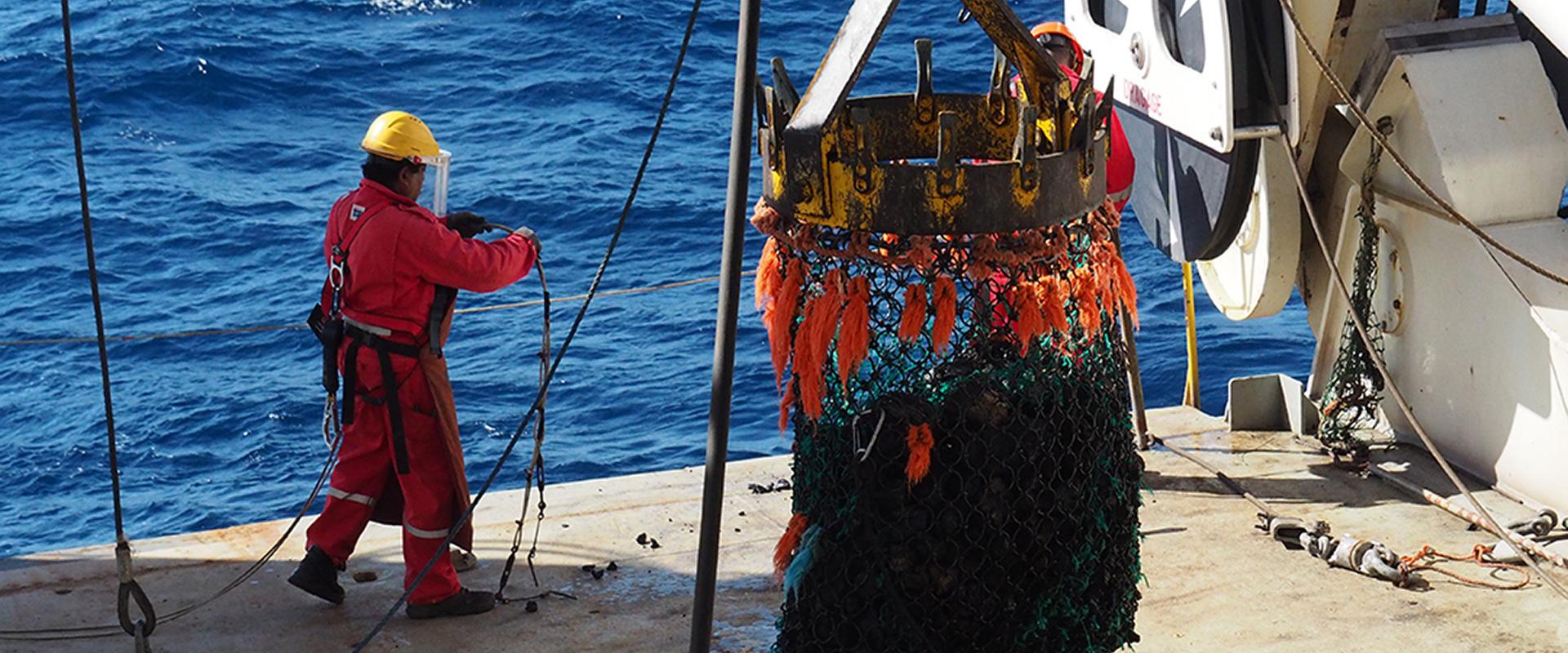
Hello, everyone. Welcome aboard Pourquoi pas? on the SISMAORE research mission. We have been in the Comoros archipelago since December 23, gathering data to learn more about the region's geology and to better understand the risks. This concerns the seismic-volcanic crisis affecting Mayotte. We will obtain data from the ocean floor and the subsurface in order to identify the structures, volcanoes, faults and landslides. We have also taken samples of rocks and sediment cores. This campaign is multidisciplinary. There are dozens of researchers with different specialisms from a variety of laboratories, institutes and organizations. We have gathered some great data so far which we will analyse on our return. Godspeed! Take care of yourselves.
See you soon!
More about the SISMAORE mission
REFMAORE mission in Mayotte
Transcription
Mission REFMAORE
Hello. We're Ludivine and Mickael. We are geophysical engineers at BRGM. In October, we will head a campaign of geophysical reconnaissance called REFMAORE. This campaign is a first. We will produce an image of the subsurface of Mayotte over 50 km. The campaign is with ReVoSiMa, Mayotte's volcanological and seismological monitoring network, in collaboration with the local authorities, to ensure the operations run smoothly.
The method
SEISMIC REFRACTION
The idea is to detonate an explosive charge that generates a seismic wave throughout the subsurface. This returns to the surface where it is recorded by ultra-sensitive sensors called geophones. The detonations will take place far from residential areas and will be carried out by Titanobel. The signal is then analyzed by geophysicists, which will enable us to produce an image of Mayotte's subsurface and to better understand the propagation of seismic waves on the island.
The material
THE GEOPHONE
We will install these devices in a long line that will run from the east to the west of Mayotte and continue into the sea, with the aid of the Ifremer Institute. Here's the device. There is a sensor called a geophone. It records the vibrations. Next to it... the nodal recording system with the GPS dome that captures the GPS signal and records it directly. This will be buried. This material will record the blasts, to produce an image of the subsurface. It is 100% autonomous and manufactured by Sercel. We have hundreds of these sensors, which will enable us to have an image over a long distance of very high resolution.
Volcano Week: the MAYOBS15 oceanographic campaign
Results of the MAYOBS 13-1 and 2 oceanographic missions off the coast of Mayotte
Transcription
Mayotte Volcano Mission
After the discovery of a new volcano in Mayotte, in May 2019, an observation network was set up: REVOSIMA. This network brings together several institutes: Ifremer, IPGP, BRGM and several CNRS laboratories. Our aim is to carry out several missions at sea every year, to monitor volcanic activity. We recuperate geophysical and seismic seabed data. The last mission was in August 2019 and we noted that the eruption was continuing and fluids continued to flow off the coast of Petite-Terre. The seismicity continues in Mayotte and the island is being deformed. So it is important to continue these missions. One was programmed for May 2020, aboard the Marion Dufresne. But the Covid crisis led to it being cancelled. We found another solution.
To monitor seismo-volcanic activity, despite present sanitary conditions, we have carried out remote acoustic monitoring using a ship's multi-beam echosounder while monitoring the seismicity on land and at sea with a monitoring campaign, MAYOBS13-1. Data acquisition took place in May, to the east of Mayotte, from Petite-Terre to the active underwater volcano discovered last year. We had two main objectives: the first was to map the seabed to follow the morphological evolution of the relief linked to the new lava flows since the August 2019 mission. Our second objective was to search for fluids or gases rising from the seabed, which can indicate volcanic activity. Each project manager worked from home, in shifts, a first for us. It was a success because we are used to these missions and could count on excellent teams both on land and at sea.
The MAYOBS13-2 campaign enabled us to photograph the seabed and the water column over a surface of 1,500 km2 to the east of Mayotte. A huge quantity of geophysical data was retrieved. This data must now be treated and analysed. We can, however, announce two major results. The first is a change in the morphology of the seabed to the northwest of the volcano discovered in May 2019, 50 km from Mayotte. We interpret this to be a new flow. The volcanic eruption thus continued after the last oceanographic campaign in August 2019. The second result is the presence of two new acoustic plumes that indicate the emission of fluids or gases from an old volcanic structure a dozen kilometres from Petit-Terre, at the drip line of the present main seismic swarm. These observations must now be carefully analysed and added to other data, such as the seismic data recuperated during the MAYOBS13-1 campaign. Thank you to all those who helped to obtain these results. Take care of yourselves.


This mission’s objective is to better understand the phenomenon by analysing the propagation of seismic waves through the ground.