History of the French geological mapping service
1746 - The early days of geological mapping
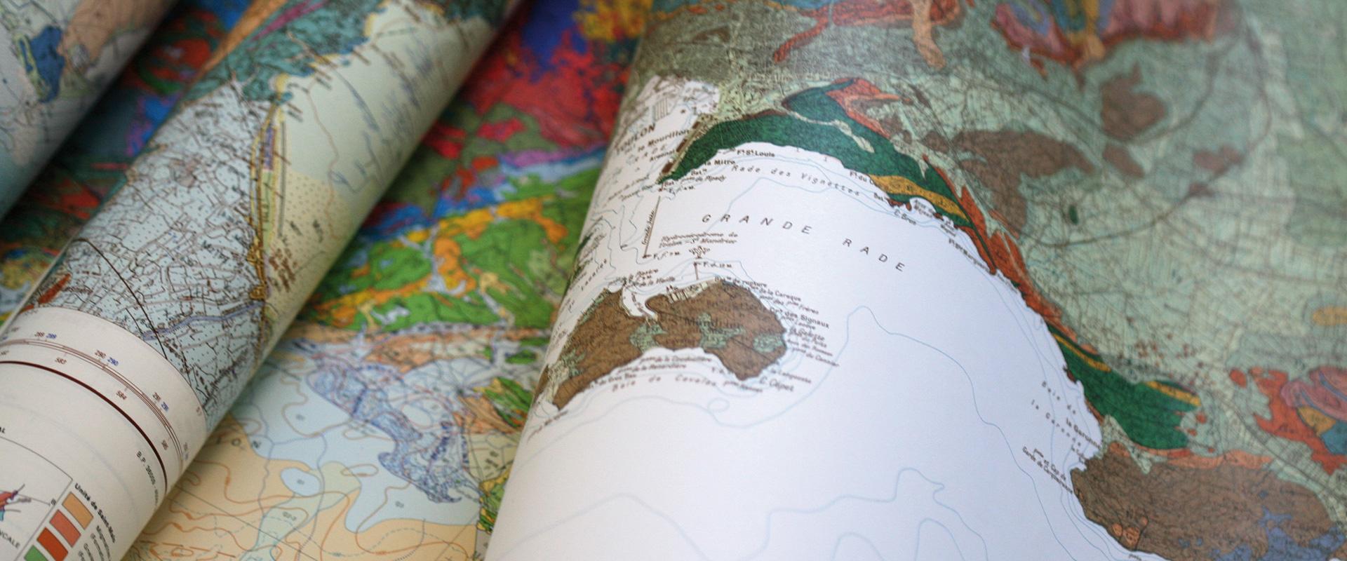
Jean-Étienne Guettard is considered to be the first person to have attempted to produce a geological map in his book published in 1746. It was not until the 19th century that the first major advances took place.
1868 - Founding of the French geological mapping service
The French geological mapping service was set up in 1868 on the orders of Napoleon III. Many geological maps were produced using data from a variety of studies and boreholes.
1968 - BRGM and the French geological mapping service
When the French geological mapping service merged with BRGM in 1968, one century later, the “modern” version of the geological map, on a scale of 1:50000 with a topographic background and contour lines, was still in its infancy. At the time, just 144 maps had been published, barely 14% of the planned total.
Geological mapping of France: from the beginnings to the present day
Geological mapping on a scale of 1:50000: a project involving 3,000 geologists over 70 years
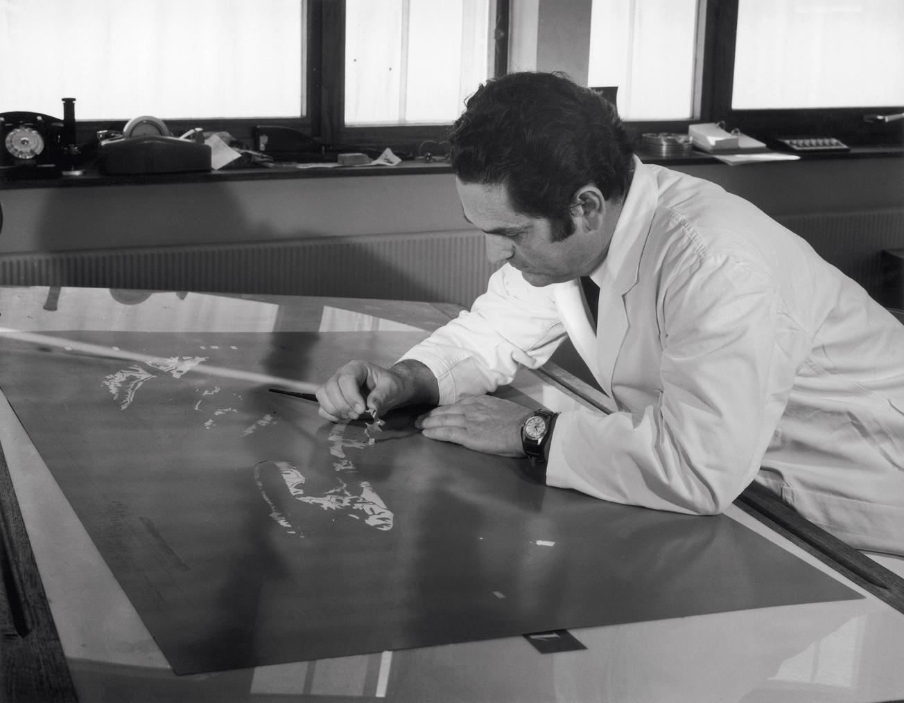
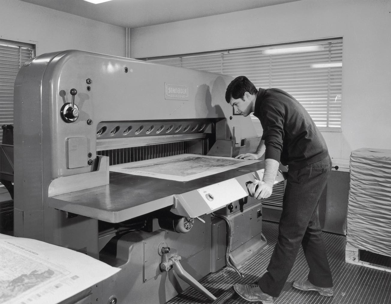
When BRGM became part of the geological mapping service, it took over the entire production chain, from field surveys to publishing. For many years, the geological mapping programme led by BRGM was the most extensive national scientific research programme in the field of geoscience, in terms of its human and financial resources.
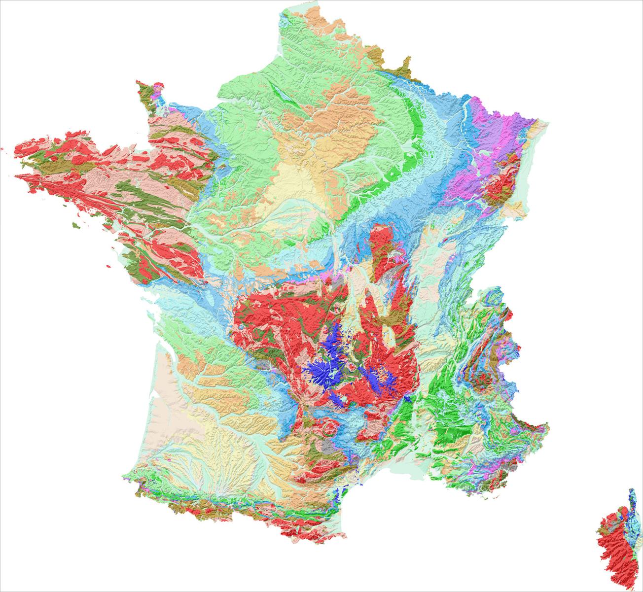
The programme for the geological mapping of France on a scale of 1:50,000 involved 3,000 geologists over 70 years. It produced 1,060 maps covering the whole country.
The French Geological Reference Platform, extending geological mapping
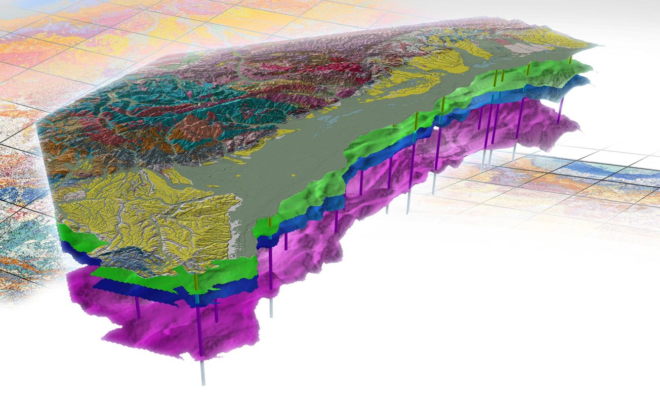
Following on from the geological mapping programme, the French Geological Reference Platform (RGF) set up in 2011 provides homogeneous, coherent, digital geological information in 3D covering the whole of France. This ambitious project involved the entire the geoscience community, with a multi-year programme involving a range of stakeholders (academic laboratories, companies, etc.).
Geological mapping
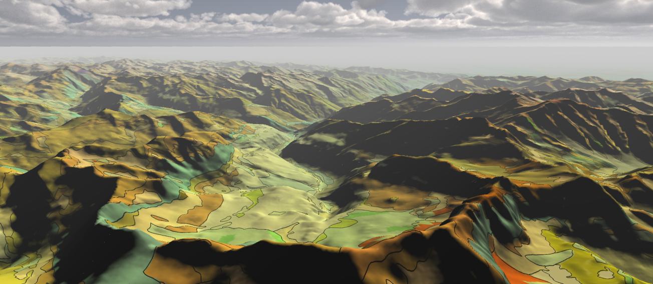
Geological mapping is the result of extensive data acquisition and synthesis studies organised in several stages:
- compilation and analysis of existing geological, morphological, geophysical, geochemical and other data;
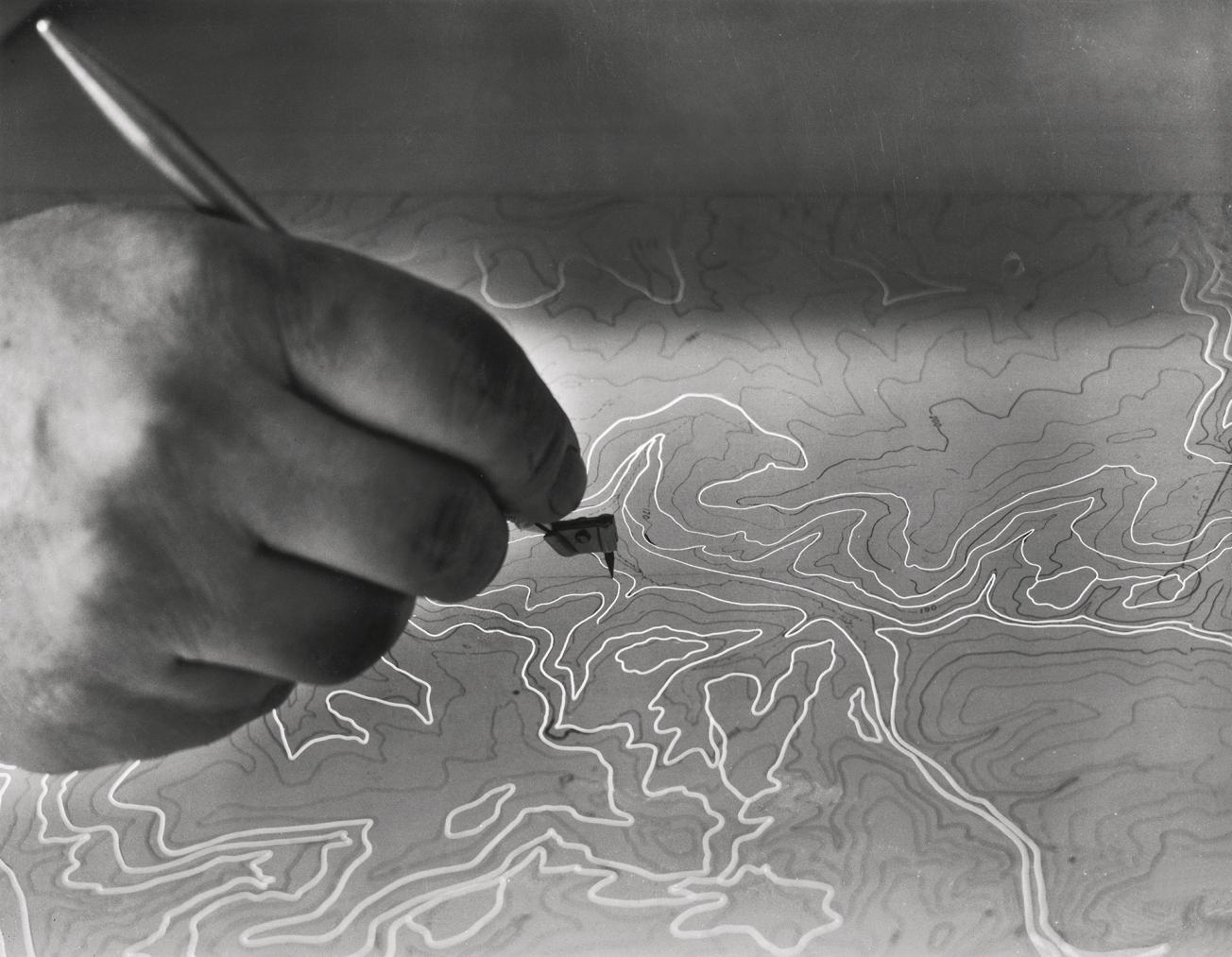
- field surveys by teams of geologists who identify the geological formations recognised on the surface (outcrops) or below the surface (boreholes): nature (minerals), structure (folds, faults, etc.), age (fossils). The limits of the various types of terrain are then plotted on a topographic map;
- laboratory analyses of rock samples to determine the age of the terrain along with its chemical and mineralogical composition;
- contributions by specialised geologists on topics such as hydrogeology (study of groundwater), materials, ores, etc.;
- production of a geological mapping model summarising all the information acquired on nature, geometry and the age of the terrains mapped;
- drafting of a notice specifying the regional framework and giving a detailed description of the various geological formations.

