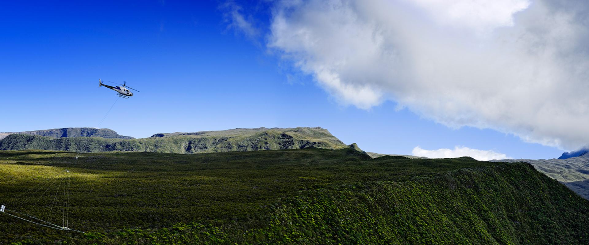
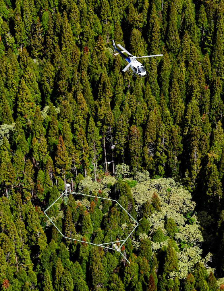
For a fortnight, at the rate of two flights a day, a helicopter chartered by the Danish contractor SkyTEM will fly over part of the Massif Central, from Puy de Dôme to Châtel-Guyon and from Clermont-Ferrand to Pontaumur. It will carry a 20-metre-diameter antenna, designed for remote sensing of the surface and subsurface.
For the first time, three geophysical methods will be used simultaneously. Gamma-spectrometry will provide information on the natural radioactivity of the ground (in the first fifty centimetres or so), providing information on its nature (sands, clays, etc.). At the same time, electromagnetism will be deployed in two different configurations: this will make it possible to make images of the contrasts in electrical resistivity of the subsurface, respectively between 0 and 200 metres deep and between 100 and possibly more than 600 metres deep. These contrasting images will provide information on the nature and level of alteration of the subsurface; they may also, to a lesser extent, detect the presence of water. Finally, the magnetic method will make it possible to map the magnetic field from the first few hundred metres to some kilometres below the surface, providing information on the nature and structure of regional geological formations.
By improving our knowledge of the subsurface in this way, we will eventually be able to better respond to issues related to water resources and their management, geothermal energy, mineral deposits, spatial planning and even ground movements, in a complex and varied geological context.
The area to be investigated is quite unusual, characterised by the conjunction of two very different geological types: volcanic formations, resulting from the activity of the different Puys volcanos, and the sedimentary formations of the Limagne basin. Both lie on the granite basement of the Massif Central and are separated by the Limagne fault.
Helicopter-borne geophysics was first tested in the Central Region of France about ten years ago, and was then deployed by BRGM in Mayotte, Guadeloupe, Martinique, Reunion Island and New Caledonia. This is the first time that it will be used to simultaneously implement three methods. This type of campaign is likely to be extended to other regions of metropolitan France.
A campaign for two projects
This data acquisition campaign has been organised as part of the Aérovergne project, co-financed by BRGM and the European Union via ERDF funds managed by the Auvergne region. It is intended to improve fundamental knowledge of the subsurface of the Puys area as regards its economic and urban development. The airborne campaign concerns another territorial project, GERESFAULT, financed by the National Research Association (ANR) and bringing together nine partners, including three manufacturers. The aim of this project is to help identify new geothermal systems, thus contributing to an increase in the amount of energy extracted from the subsurface.


