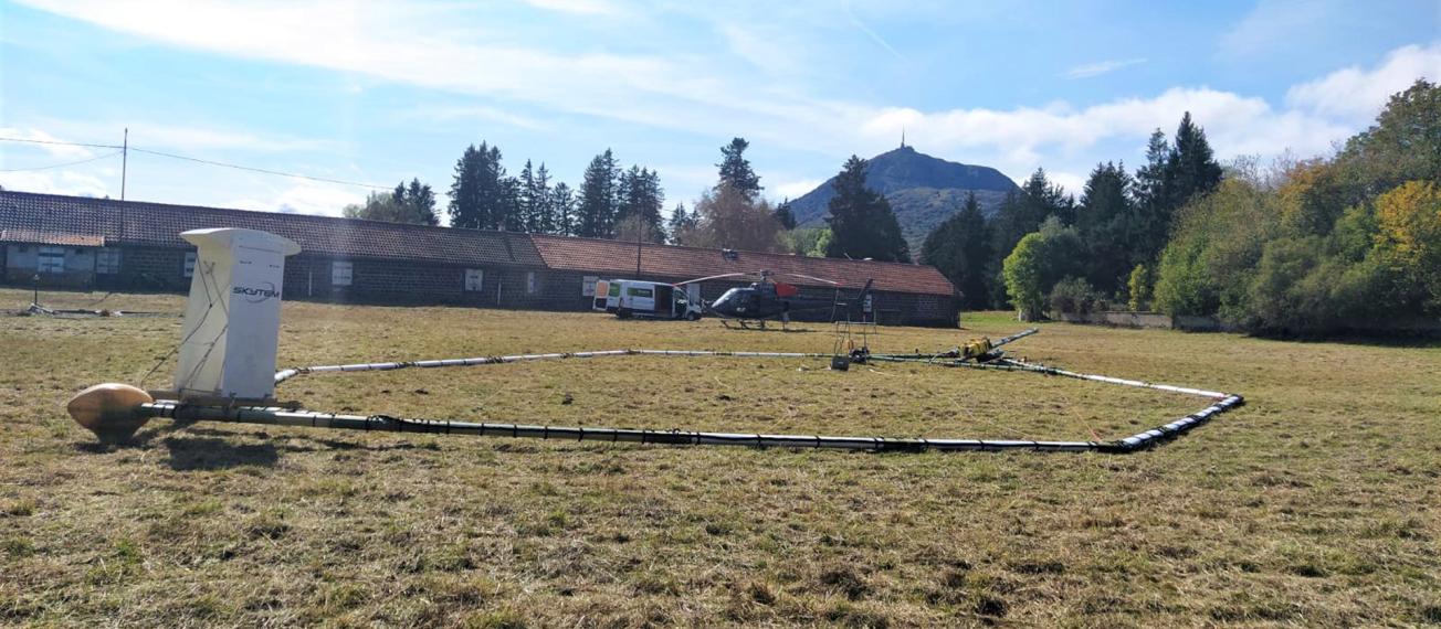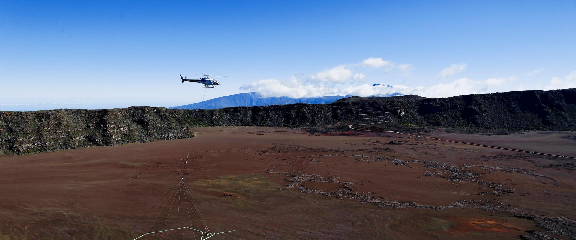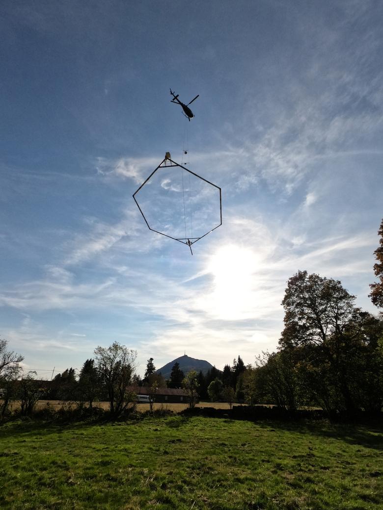
Aérovergne heliborne geophysical survey.
© BRGM
Objectives
The subsurface is a vital resource for human activities. In order to manage these resources sustainably, we must have in-depth knowledge of the subsurface environment. This can be acquired through direct approaches (e.g. through field investigations, drilling, mechanical or hydraulic tests in the subsurface, laboratory characterisation of samples) and/or through indirect approaches, using subsurface imaging methods.
Over the past decade and more, BRGM has developed a methodology for acquiring and processing geophysical data (electromagnetism, magnetism, gamma-spectrometry) using airborne tools. Until now, the majority of electromagnetic and magnetic data-acquisition campaigns have been carried out in the French Overseas Departments and Regions (Mayotte, Martinique, Guadeloupe, Reunion, New Caledonia). These modern geophysical data, known as "infrastructure" data, are used in a wide range of fields and have proven to be of great value in responding to the challenges of understanding the nature and geometry of the subsurface, as well as managing water resources, searching for raw materials, preventing natural risks, etc.
The Aérovergne project consists of a heliborne survey combining three geophysical measurement methods (electromagnetism, magnetism and gamma-spectrometry) and totalling 1000 km of flight lines on a pilot site in the northern part of the Chaîne des Puys in the Auvergne region, as a demonstrator. This will be the first survey of its type in France (i.e. three measurement methods acquired simultaneously to characterise the subsurface in terms of magnetisation, electrical resistivity and Uranium, Thorium, Potassium content). It will also provide new geophysical data, in an environment with a bedrock under a volcanic soil cover, relating to such an emblematic site as the Chaîne des Puys (recently classified as a World Heritage Site by UNESCO).
Expected results
The data acquired will provide a 3-dimensional view of the subsurface at never-previously-achieved scales, ranging from the near surface to a depth of several hundred metres (or even kilometres). These aero-geophysical data will provide information about constraints and new knowledge in relation to various issues, ranging from a fundamental geological understanding of the objects modelled to various socio-economic and environmental issues currently being raised by local stakeholders.
Pressure on water resources
In the area surveyed, the geophysical data will improve our understanding of the geometry of the major aquifer interface and the stacked layers of volcanic lava flows. This will help establish a more precise picture of the water resources available in the different catchment areas, providing information of great socio-economic value, for example concerning the drinking water supply and water resources for industrial uses, particularly mineral-water bottling and thermal baths. This knowledge will make it possible to manage this resource more efficiently.
The electromagnetic data will also provide 3D imaging of new geological structures that are potentially aquiferous, such as weathering formations, paleo-valleys submerged by lava flows, or volcanic edifices such as maars, which are potentially important water reservoirs.
Geothermal energy
The geophysical data will make it possible to better define the subsurface geometry of hydrothermal fluid systems and/or flows (past or present).
Risks
Electromagnetic data can be used to support studies aimed at determining the stability of slopes, in particular by providing information on the thickness of geological formations involved in landslides. Gamma-spectrometry data can provide valuable information on the lithological nature of the first metre of soil, and thus serve as a basis for studies aimed at defining:
- risks linked to clay-soil shrinkage and swelling;
- local seismic risks (site effects).
Mineral resources
Electromagnetic, magnetic and gamma-spectrometry data are widely used to search for quarry materials and/or to extend the mining of existing deposits.
Archaeology
The data could provide answers to certain scientific questions linked to the recent (re-)discovery of Gallo-Roman quarries (the Kilian crater, which provided blocks for building the Temple of Mercury at the top of the Puy de Dôme), and Merovingian quarries (underground at Cliersou and open-air at Grand Sarcoui).
Volcanology
The data acquired will enable electromagnetic-imaging of how complex volcanic structures are interlocked (such as Puy Chopine, composed of a scoria cone in which a trachyte protrusion has occurred) or to provide a more precise understanding (using magnetic data) of the extension of hypovolcanic intrusions (for example under the Puy de la Poule), recently believed to have had a significant impact on the surface structure of the terrains along the Chaîne des Puys.
Development of tourism
The 3-D modelling of the bedrock/soil-cover interface, the demarcation of the watershed between the East and West of the Chaîne des Puys and the focus on specific geological objects will help to develop educational tools, notably for use in events linked to the site's classification as a UNESCO World Heritage Site.
These data-acquisition campaigns aim to develop synergies between organisations and, specifically, to help drive long-term geoscientific and environmental activity in the Auvergne region, involving local institutional players working in partnership with private companies.
Partners

The operation "Digital data acquisition by geophysical methods as key elements of 3D imaging and understanding of the subsoil" is co-financed by the European Union under the ERDF.
© ERDF


Scientific partner: CRAIG.