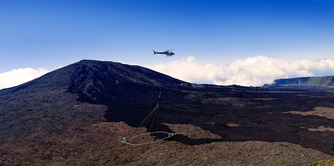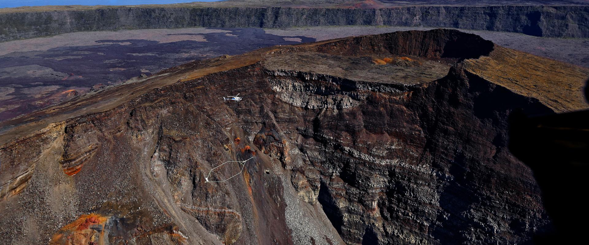
Heliborne geophysical survey of La Réunion.
© BRGM - René Carayol
The MEREN project (Mobilisation des Ressources en Eau des micro-régions Est et Nord), run by the département of Reunion, aims to implement the strategic development of hydraulic systems to satisfy the various water needs expressed by the Northern and Eastern micro-regions, in particular for the development of agricultural production (irrigation) but also to secure the drinking water supply.
This scientific campaign aims to provide deep subsurface imaging to precisely pin down the locations of the main groundwater supply system.
Imaging of the subsurface to a depth of 1,000 metres, a first in France
Between 14 and 25 June, a helicopter chartered by the Danish service provider SkyTEM will fly over the Plaine des Fougères according to a flight plan defined by BRGM. It will carry a 20-metre diameter antenna about 50 metres above the ground, to probe the subsurface indirectly by analysing electromagnetic waves. A more limited overflight will also be carried out on the Plaine des Palmistes alongside the acquisition on the Plaine des Fougères, again for the needs of MEREN.
In order to obtain the best possible geological image, BRGM has decided to combine two analytical methods. The electromagnetic technique chosen for this campaign aims to record and visualize the electrical resistivity contrasts of the subsurface down to a depth of 1,000 metres. This is a first in France, since other airborne electromagnetic investigations have been limited to a depth of around 400 m. These contrasts will provide information on the nature of the subsurface and the extent to which it has changed. The passive magnetic method will map local disturbances in the Earth’s magnetic field, providing information on the nature and structure of rocks down to a depth of 1,000 metres.
Additional sampling in the field
Concurrently with this geophysical survey, geologists from the University of La Réunion will take samples in the field in order to measure the magnetic fields of the rocks making up the geological mille-feuille (layer pastry) of the Piton des Neiges. By coupling these data with the indications obtained by the helicopter-borne instrument, researchers will be able to determine more precisely the underground geology of the Plaine des Fougères.
An accurate geological and hydrogeological model
It will take several months to process and analyse the data. The result will be an accurate geological and hydrogeological model, which will be made available to the body designing the future water supply system of the MEREN project, for providing water to the Northern and Eastern micro-regions, through the implementation of a large-scale hydraulic scheme.
The operation is financed by the Reunion Departmental Council, the Reunion Water Office and BRGM, as part of the MEREN project.
A consolidation of the 2014 scientific campaign
During the southern winter of 2014, BRGM had already carried out a vast helicopter-borne geophysical campaign over the whole of Reunion Island in order to scan the island’s subsurface. Almost complete coverage was thus achieved, outside urban areas where geophysical measurements are disturbed by radio emissions. The Plaine des Fougères and the Plaine des Palmistes had been flown over: the data obtained now provide useful information for conducting this new geophysical survey, which is much more localised and thus much more accurate, both spatially and in terms of the depth investigated.


