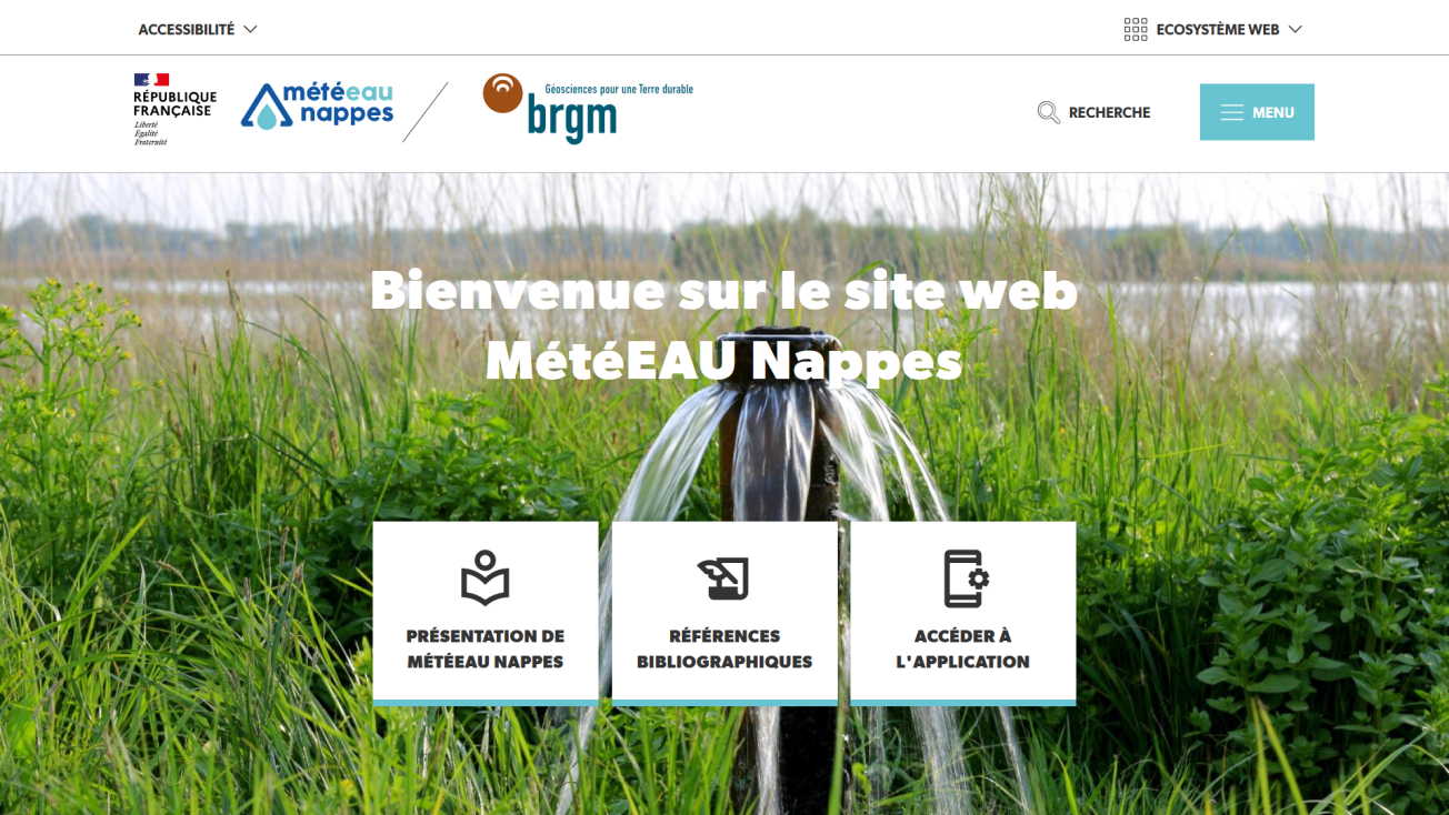
Home page of the MétéEAU Nappes website.
© BRGM
Groundwater accounts for almost two thirds of the drinking water consumed in France, and about one third of the water used in agriculture. This key resource is monitored on a daily basis by the French Geological Survey (BRGM) through its piezometric network of 1,600 boreholes spread across continental France.
A new tool for the real-time monitoring and forecasting of groundwater levels
To help improve groundwater management, BRGM has created MétéEAU Nappes, a new tool to monitor the real-time status of water tables and forecast changes in their levels.

With MétéEAU Nappes, users can see the status of water resources in a given location and in real time, and carry out simulations based on different weather scenarios. To achieve this, the points studied must have been documented over a sufficiently long period of time to make it possible to establish statistical hypotheses. Since each aquifer functions differently, each groundwater point entered in MétéEAU Nappes must first be modelled before being incorporated in the website.
Notably, this innovative web platform can establish forecasts (up to six months) of the potential levels of exploited water tables. The data recorded by the sensors and the characteristics of the aquifers in question are coupled with different rainfall scenarios, and the forecast is displayed in the form of maps and graph curves.
With its user-friendly web interface, MétéEAU Nappes enables users to have a better appreciation of the water levels available and decide upon local usage restrictions during periods of drought.
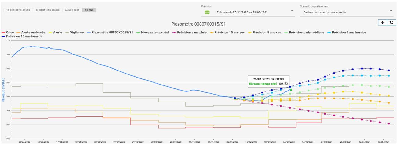
MétéEAU Nappes - Example of measurements recorded and forecasts for a given point.
© BRGM

This new platform is aimed at government authorities responsible for making decisions about restrictions on use, as well as farmers and public or private organisations involved in water management. Several access levels are available, depending on the users' level of expertise. At present, some fifteen points are listed; the map will be gradually added to through future partnerships. The tool can be upgraded to incorporate new services in the future.

