Following a campaign AEROVERGNE in 2020, which successfully tested a range of airborne geophysical methods on the Chaîne des Puys mountain range, BRGM is continuing this work with an ambitious programme to gather geological data by means of airborne surveys over the western part of the Massif Central.
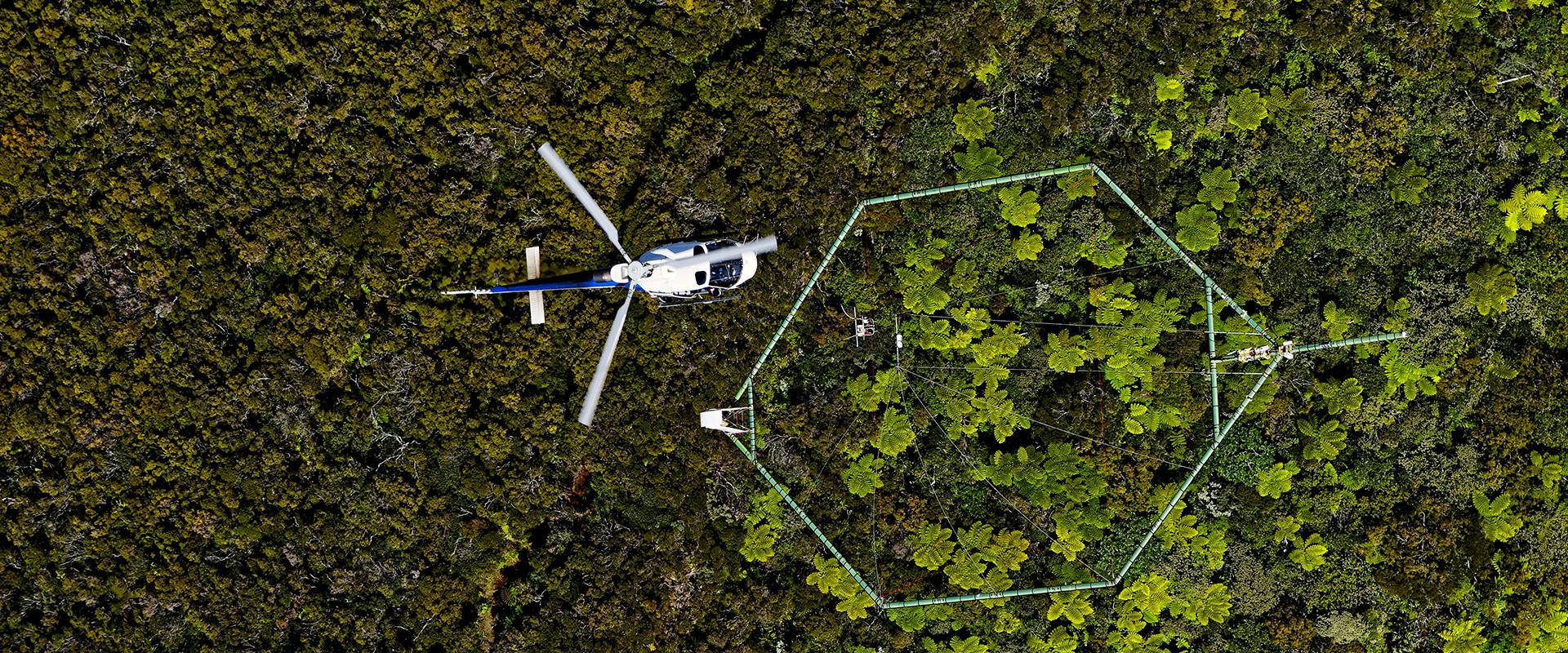
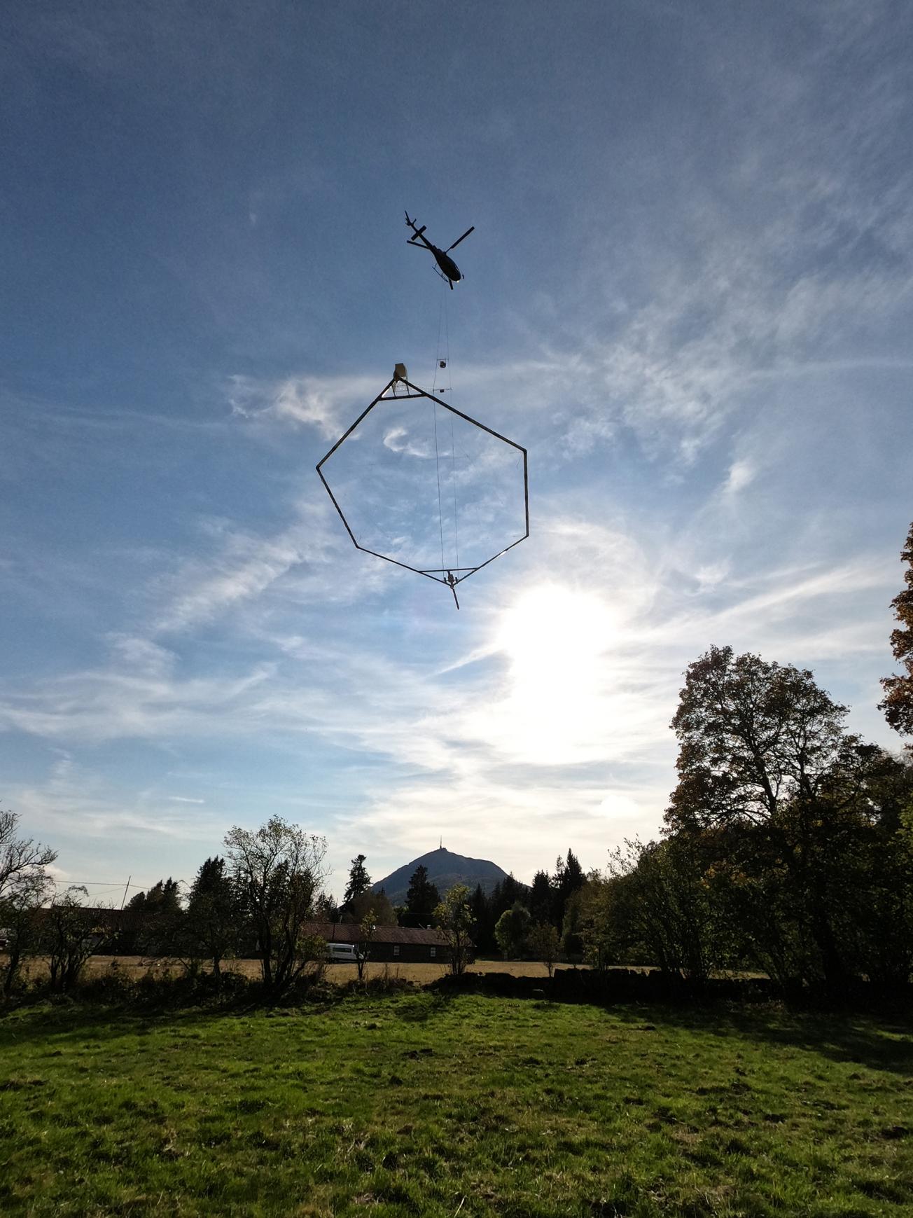
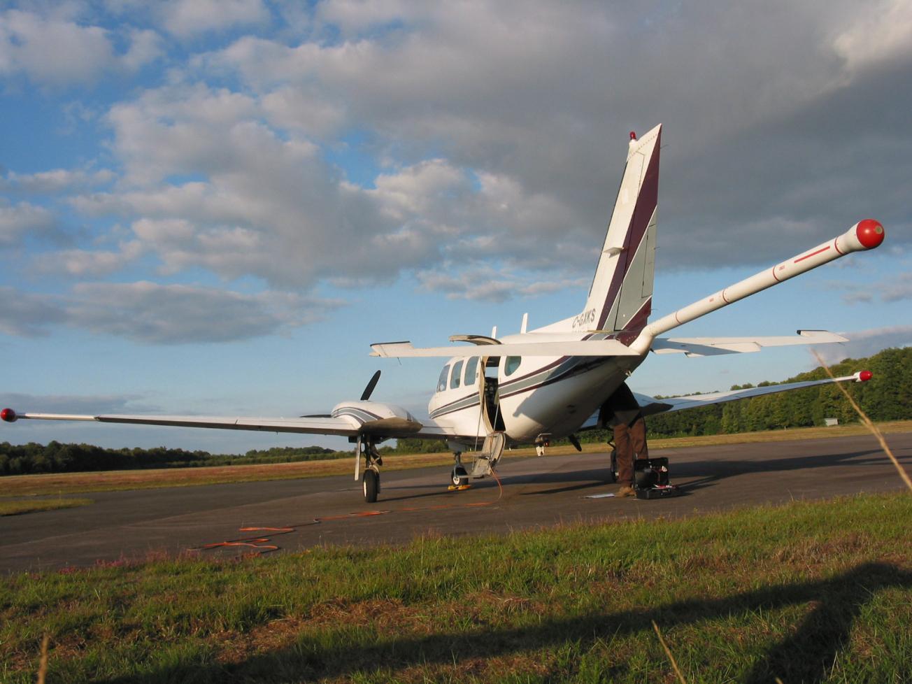
Using a plane over hilly areas and a helicopter over areas of greater relief this programme will make it possible to:
- combine different geophysical methods,
- improve geological knowledge of these areas,
- better characterise hydrological, geothermal and mineral resources,
- support work relating to development, seismic hazard assessment and land movements.
Outside built-up areas, which are not on the flight path, airborne surveys provide rapid, homogeneous coverage, independent of land use and with no impact on the environment or on health. The surveys planned will use three geophysical methods to provide imagery of the specific physical and chemical properties of the soil and rock, from the near-surface area to a depth of several hundred metres. The data gathered are processed using geological software providing a three-dimensional view of the subsurface. These surveys will be used in a number of ways over the coming years.
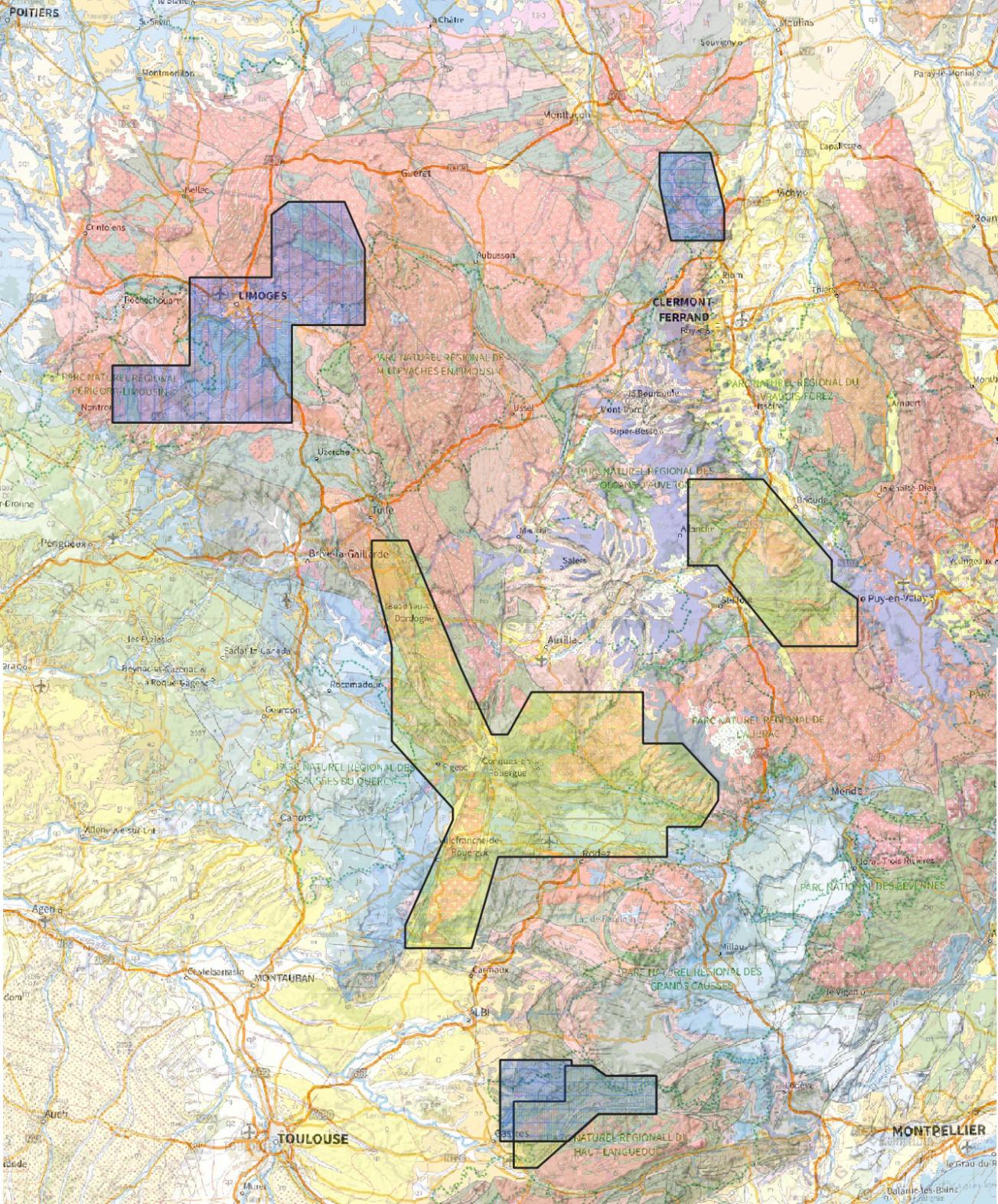
In 2022, survey flights covering almost 30,000 km will take place in six areas of the western Massif Central: from around Limoges and Gannat in the north, to near Castres in the south, including the surroundings of Figeac, Villefranche de Rouergue, Espalion and Langeac. Field operations are expected to last around three months.
Airborne geophysics in the Massif Central
Simultaneous use of three geophysical methods
The airborne campaign conducted by BRGM at the request of the MTE will deploy three very different methods:
- Gamma-spectrometry to provide information on the natural radioactivity of the ground (down to around one metre), providing information on the nature of the subsoil and the properties of the superficial layers (sand, clay, etc.).
- Electromagnetism for the imaging of electrical resistivity contrasts in the subsoil, in detail close to the surface and down to a depth of between 500 and 700 metres. These contrasts will provide information on the nature and level of alteration of the subsoil and the presence of clay. These parameters are important for shedding light on issues relating, for example, to groundwater resources.
- A magnetic method to visualise the magnetic properties of the rocks found in the first few hundred metres down to several kilometres below the surface, providing information on the nature and structure of regional geological formations. In the same way as for medical imagery, combining these three methods will enable a 3D rendering of soil and rock characteristics in order to support studies relating to the subsoil in the areas covered.
To find out more
Press contact
