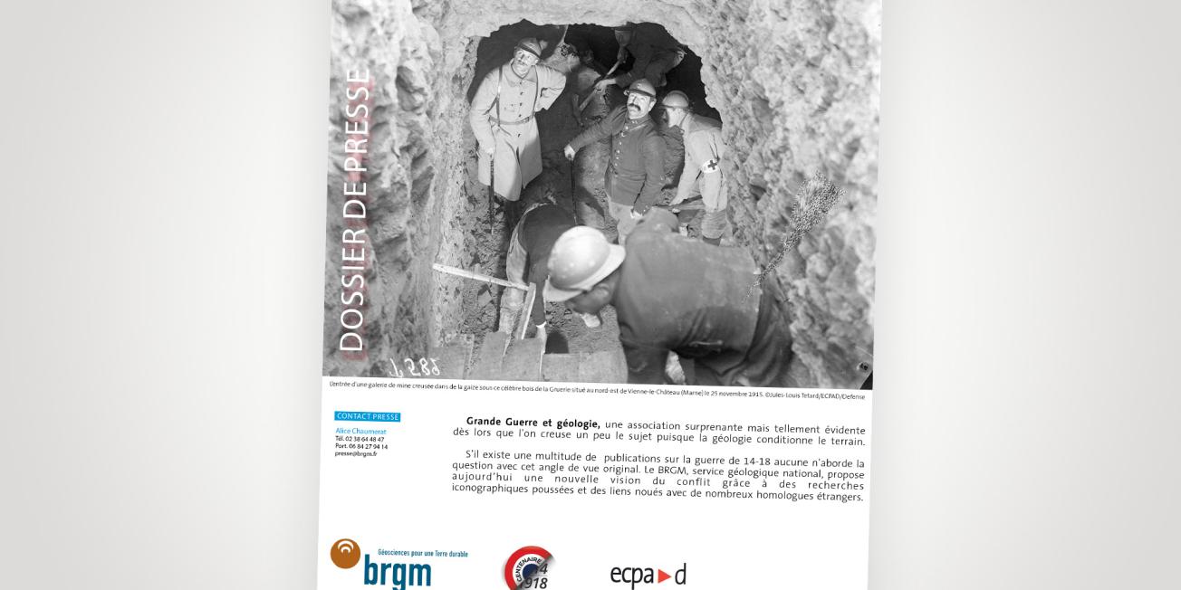
Cover of the press kit.
© BRGM
The First World War and geology: a surprising association and yet so obvious when you dig a little deeper into the subject, since geology determines the terrain.
While there are innumerable publications on the First World War, none of them approach the issue from this novel perspective. BRGM, the French geological survey, is now providing a new view of the conflict thanks to extensive iconographic research and links forged with many foreign counterparts.
Participating in remembrance of the Great War
The cycle of national and international commemorations of the centennial of the First World War began in 2014.
This commemoration addresses a number of remembrance issues:
- Understanding an ordeal that touched the whole of French society
- Passing on these memories to French people of today to ensure they are not forgotten
- Honouring those who lived through this war and those who sacrificed their lives
One hundred years on, the aim of this act of remembrance for European states is to deliver a message of peace, in order to avoid repeating the mistakes of the past that led to this global conflict. Today, States are working together to build a common future.
To mark the occasion, Franck Hanot and Daniel Hubé, two history enthusiasts, decided to participate in this commemoration in their own way. They each wrote a book with a different approach but with the same original point of view: placing geology at the heart of the Great War.
The works of both authors have received the government's "Centenary" label, which certifies and recognises the quality of the innovative projects included in this commemorative cycle. Their unique vision shows us that even 100 years later, the First World War still holds some mysteries. The two books, 14-18 : Tremblements de guerre (14-18: Tremors of War) and Sous les lignes de front (Beneath the Front Lines) give you the opportunity to unlock new secrets.
Sous les lignes de front: la géologie, élément stratégique de la Grande Guerre
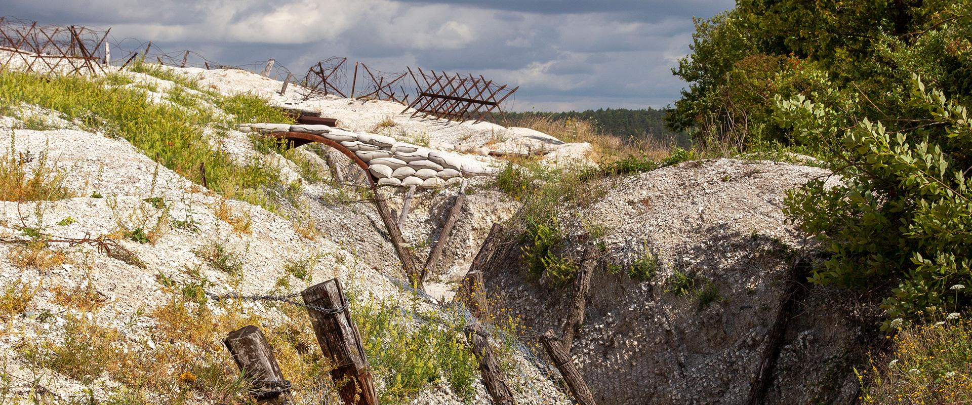
Franck Hanot invites you to explore the subsurface of the lines along the Western Front, from the Belgian coast to Switzerland. Throughout the pages, we follow the soldiers' progress as they attempt to conquer territory. In each chapter, the author explains the characteristics of a particular site in detail. Flanders, the Somme, the Marne and Champagne, Verdun, Lorraine and the Vosges are each characterised by different rocks: limestone, sand, chalk, clay, etc. These diverse geological conditions required the soldiers to adapt their strategies. Without knowledge of the subsurface, the Great War may not have turned out the same way.
14-18: tremblements de guerre, les géologues au cœur de l'histoire
After retracing the events that led to the outbreak of the conflict, Daniel Hubé shows us the key role of geology throughout the First World War. It played a crucial part when the front was established towards the end of 1914: men had to dig into the ground for protection but also to find water while staying safe. The author describes in detail the importance of this factor, and the role it played in the conflict. One of the key facts regarding the use of water was when German troops were advancing rapidly over the territory, the Belgian army had to resort to a stratagem drawn from its country's history: intentionally causing flooding to block the enemy's lightning advance. Water, like the underground tunnels, was an essential defensive element.
The First World War marked the birth of applied geology: engineers, soldiers and geologists came together to innovate military strategies.


