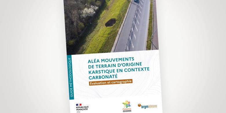
Cover of the guide entitled "Aléa mouvements de terrain d'origine karstique en contexte carbonaté - Évaluation et cartographie" ("Risk of karstic ground movements in a carbonate context - Assessment and mapping") - BRGM, Cerema (2023).
© BRGM / Cerema
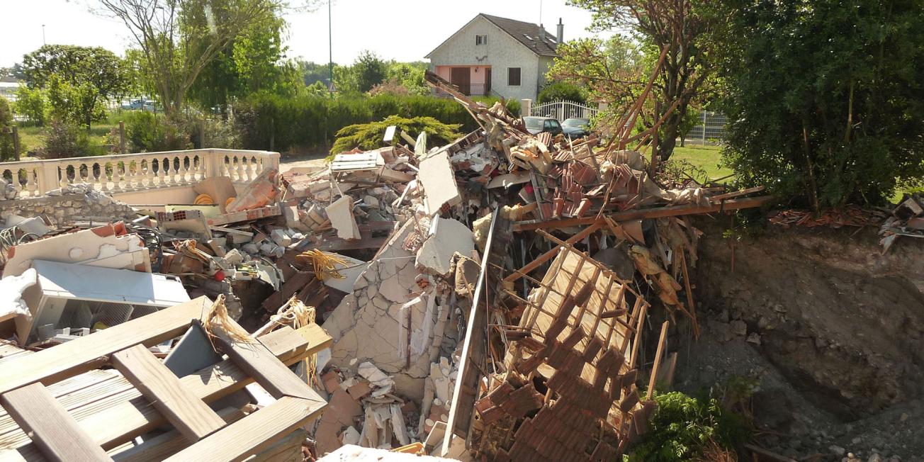
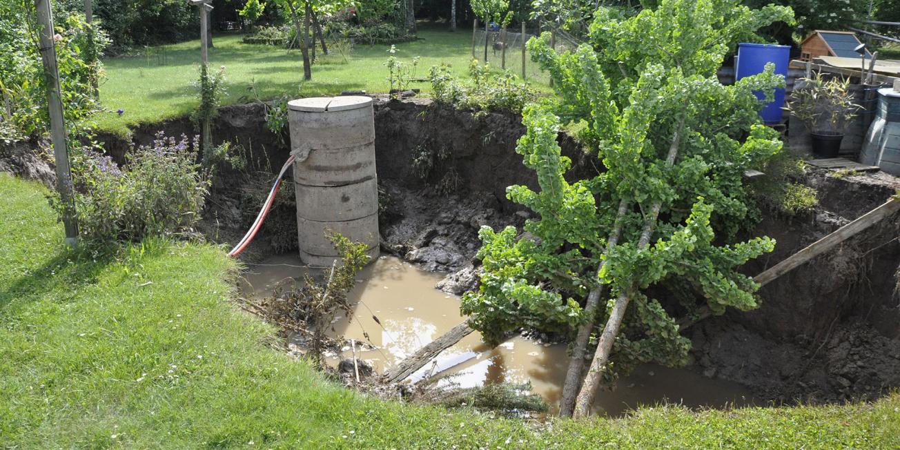
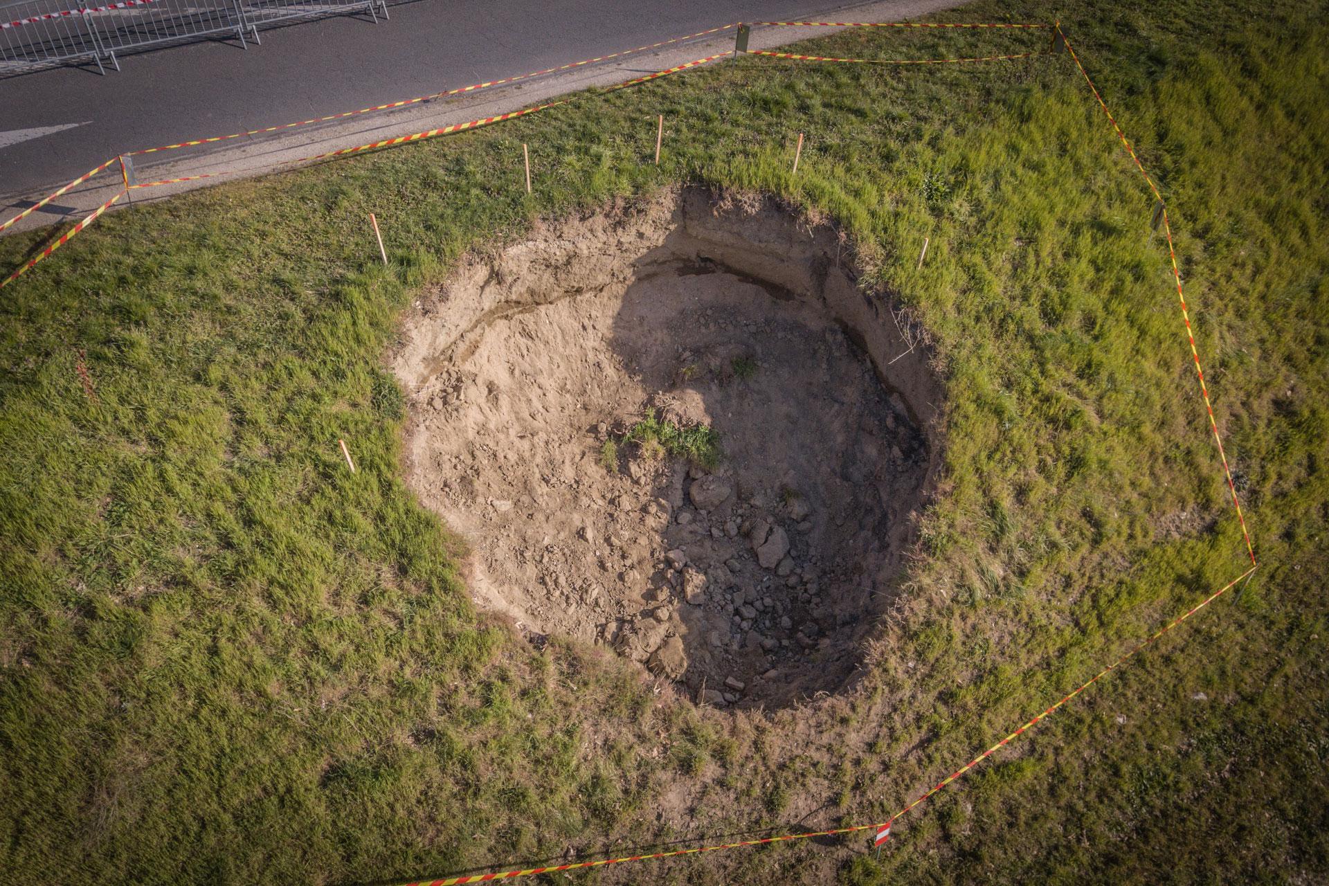
Karst-related collapses and subsidence can occur over a large part of France, jeopardising the safety of property and people.
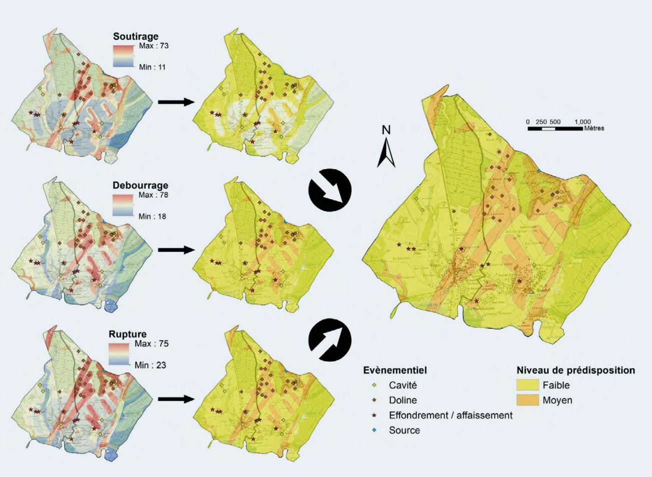
To help those involved in land use planning and construction to manage ground movement risks more effectively, BRGM and Cerema have pooled their experience to put forward a methodology for assessing and mapping karstic ground movement hazards.
Better understanding of karstic risk phenomena to improve protection measures
This guide, drawn up for the Direction Générale de la Prévention des Risques (Directorate General on Risk Prevention - DGPR) of the Ministry of Ecological Transition and Territorial Cohesion, is divided into three parts:
- A review of the state of the art in describing karstic systems (literature review).
- A presentation of ground movements that can occur on the surface and the main factors (otherwise known as criteria) that cause them.
- A hazard assessment methodology, with a presentation of the data required for this work.
Key figure
-
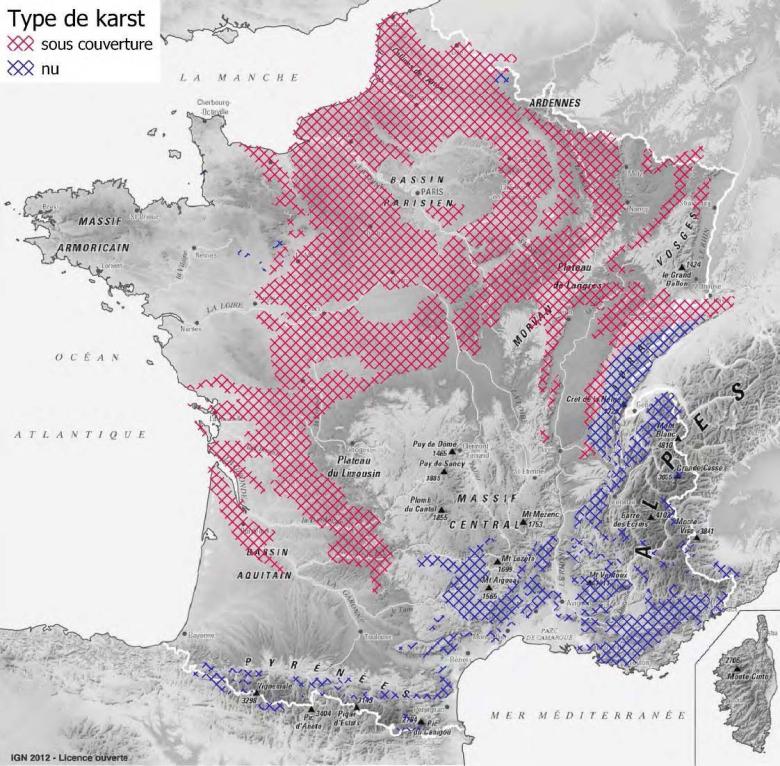
40.00%Percentage of land in France potentially affected by karst-related subsidence and collapse
Identifying and mapping ground movement hazards
The proposed methodology is intended both for experts responsible for mapping hazards (civil engineering consultancies and public operators) and contracting authorities (the State, local authorities and Inter-Municipal Public Cooperation Organisations, or EPCIs) that initiate and coordinate action to improve knowledge in their areas. These activities can be carried out in the framework of Public Notifications (PAC), the Natural Risk Prevention Plan (PPRN) or specific safety studies.
With this guide, contractors and service providers now have the keys to understanding and a methodology for mapping the risk of ground movements on a local and regional level. This method can also help find solutions for reducing vulnerability.

