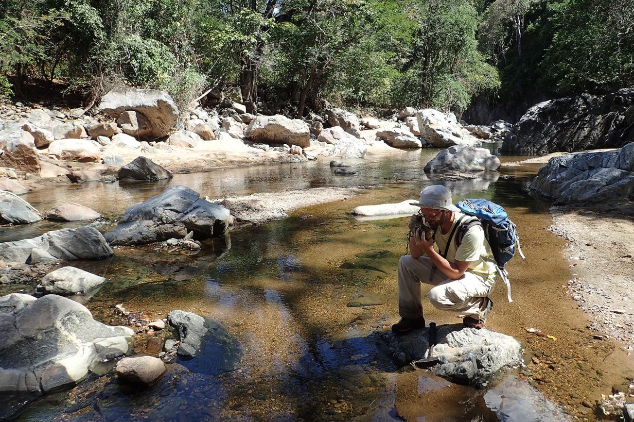
A geology field survey to update knowledge and geological maps and draw up an inventory of mineral potential (Malawi).
© BRGM - Nicolas Charles
A 5 and a half year study programme coordinated by BRGM
The GEMMAP (Geological Mapping and Mineral Assessment of Malawi) project, financed by France through a Convention signed between the Ministry of Europe and Foreign Affairs and the Republic of Malawi as part of a Debt Reduction-Development Contract (C2D), was implemented by a consortium led by BRGM, with the Geological Surveys of Finland (GTK) and South Africa (CGS) as partners.
The purpose of the project was to update geological knowledge, draw up an updated inventory of mining potential and assess and map natural hazards (seismicity, flooding, land movements), with the objective of providing updated knowledge for the Malawian authorities and giving them greater autonomy in managing and promoting subsoil resources, as well as in land-use planning.
The project placed particular emphasis on training and skills transfer with counterparts in the Geological Survey Department (GSD) of Malawi.
A feedback conference presenting the results of the project
The main conclusions of the different components of the project were presented at this feedback conference.
In addition to updating the geological map coverage of Malawi (40 geological maps on a scale of 1:100,000 with explanatory notes, 10 geological and structural maps on a scale of 1:250,000 as well as 2 geological and structural overview maps and 1 mineral resource map on a scale of 1:1,000,000) and drafting an inventory of its mineral potential, the programme also conducted:
- a geochemical survey of water course sediments;
- an analysis of the artisanal and small-scale mining sector;
- the mapping of natural hazards (areas subject to different types of hazard, in particular flooding, earth movements and seismicity) resulting in the production of 10 natural hazard maps on a scale of 1:250,000 and 1 overview map ona scale of 1:1,000,000;
- the construction of a documentation centre;
- the upgrading of the laboratory of Malawi's Geological Survey Department;
- training of Ministry of Mining staff.
The GEMMAP project has increased the capacity of the GSD by developing its expertise, equipment and laboratories and by organising 37 training courses for over 300 Malawian trainees and students, both in the field and in the laboratory, in Malawi, France and Finland, as well as degree courses, with Master’s diplomas in Malawi, Ghana and Australia.
The collaboration with Malawi will continue with, for example, a PanAfGeo course on geology in Malawi in May-June 2023.
Conference participants
The presentation of project results by the Consortium was attended by representatives of the Ministry of Mining, as well as by Kondwani Dombola, Director of the Malawi Geological Survey, Jean-Claude Guillaneau, Thomas Fullgraf and Laurent Bailly (BRGM), Robert J. Thomas (CGS) and Eija Hyvönen (GTK, remote). Bertrand Furno, Head of the Economic Service of the French Embassy, represented the Ministry of Europe and Foreign Affairs. This feedback conference was also an opportunity to share the results of the project with mining operators, including ERAMET, and civil society.


