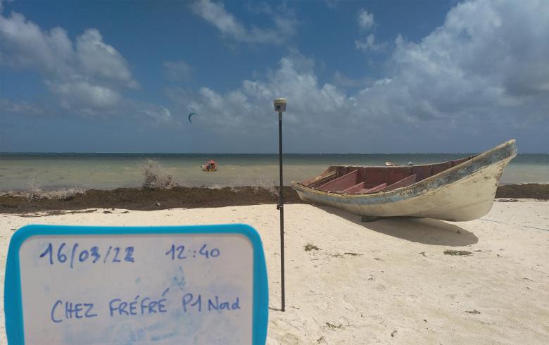
Since March 2022, data acquisition campaigns have begun on various French coasts, in mainland France and its overseas territories, in order to monitor the evolution of coastal phenomena (coastline evolution, erosion and coastal flooding, etc.).
BRGM is involved in the observatories in charge of these post-winter surveys.
BRGM: coastal risk experts
In the context of climate change, BRGM is actively involved in understanding and managing coastal risks. It conducts research and expert studies on the changing coastline (coastal erosion) and marine submersion of coastal areas due to hydro-meteorological factors (storms and cyclones) or induced by tsunamis.
BRGM provides innovative approaches and tools for risk prevention and for the sustainable development of coastal areas. It is also involved in monitoring the coastline through coastal observatories in mainland France and overseas.
BRGM is a member of the National Network of Coastline Observatories
BRGM is involved in implementing the national strategy for integrated coastline management adopted by France in 2012 and is a member of the National Network of Coastline Observatories, established as a pool of observatories responsible for acquiring coastline data at the local level. Purpose: to encourage long-term sharing and dissemination of data and knowledge on changes in the coastline.

Annual campaign to monitor the Aquitaine coastline
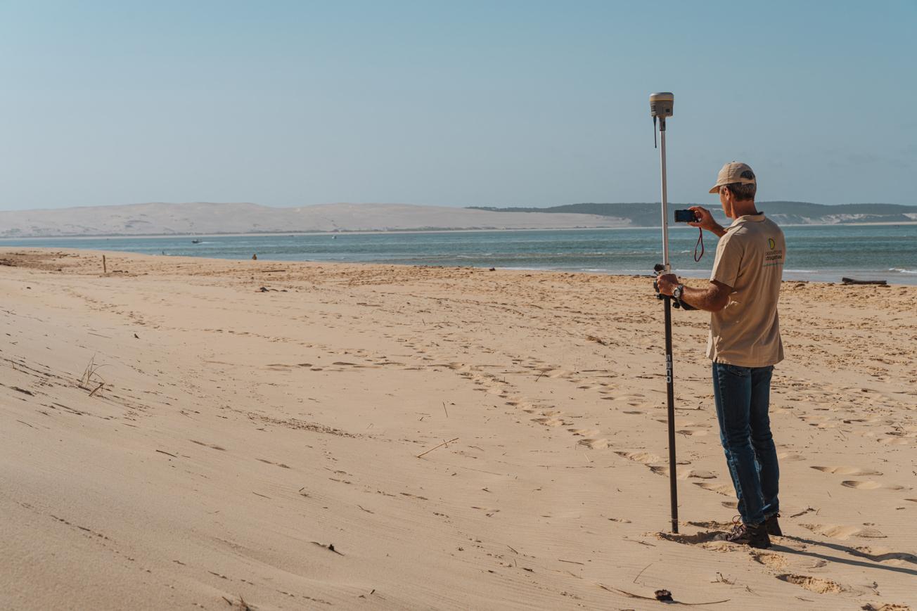
One of the employees of the Nouvelle-Aquitaine coastal observatory on assignment at Lège-Cap-Ferret.
© Observatoire de la côte de Nouvelle-Aquitaine / Com’ by AVM
This year, the coastal monitoring campaign carried out by the Nouvelle-Aquitaine coastal observatory will run from 30 March to 2 June.
These differential GPS field surveys are carried out on beach/dune transects, i.e. theoretical lines perpendicular to the coastline, defined along the Aquitaine coast (sandy coast, rocky coast and the Arcachon Basin).
In the field with the teams of the Aquitaine Coastal Observatory on 4 sites in Aquitaine
The aim is to understand the dynamics of the coastline, on several time scales, and to predict its future evolution, while taking into account the impacts of climate change.
The data collected constitute a reference base for the whole of the Aquitaine coastline and enable the Observatory to regularly provide expert input for the public policies of its funding partners, as well as regional and local authorities, the Coastal Conservatory and the Coastal Public Interest Group (GIP).

ObsCat data acquisition on the Catalan coast
Data acquisition campaign of the Observatory of Catalan beaches (ObsCat) 2022
BRGM has been in charge of the "data acquisition" and "expertise" part of ObsCat, twice a year since 2014. To do this, it undertakes a land-sea campaign to collect the field data needed for understanding the seasonal morphological and sedimentary evolution of the beaches. The data was collected over 44 km of beaches monitored by the observatory, between Cap Leucate (Aude) and Le Racou in Argelès-sur-Mer (Pyrénées Orientales).
For the spring of 2022, the field team conducted the bathymetry investigation at 17 sites with a single-beam sounder. Topographical data were acquired for about forty "reference" profiles, some of which have been monitored for several decades.
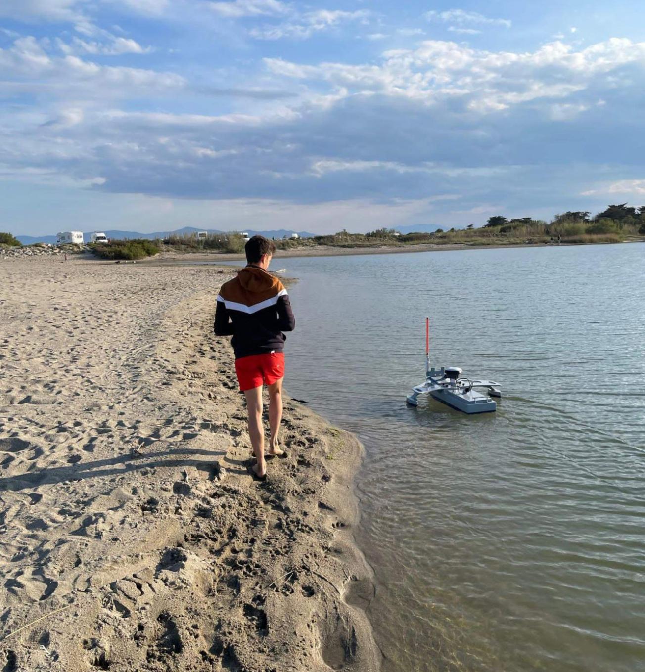
A drone is used for bathymetry of river mouths (Agly, Bourdigou, Têt and Tech). It is operated by SubC-Marine.
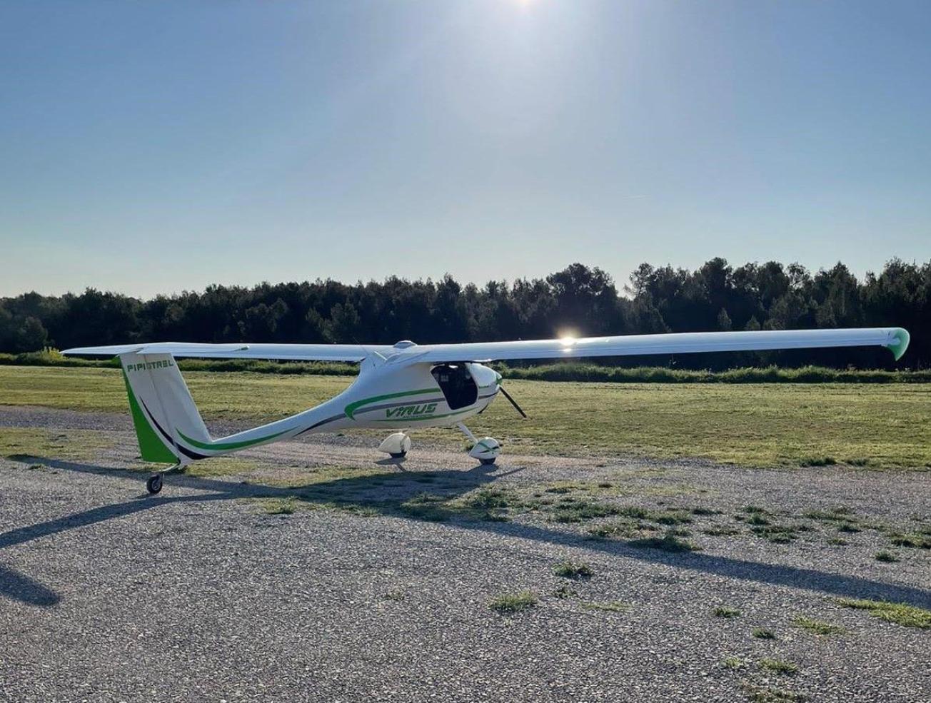
Concomitantly, the fine topography of all the beaches between Cap Leucate and Le Racou was acquired by airborne LiDAR. The flight was carried out on Tuesday 26 April by Global Geomatic France.
These seasonal campaigns provide the data needed for analysing the morpho-sedimentary evolution of the coastline during each winter and summer (coastline evolution, displacements and sedimentary assessments).
ObsCat also incorporates video camera tracking, done at frequent intervals. Installed in Leucate, Port Barcarès (north beach) and le Racou in Argelès-sur-Mer, they provide, in addition to these seasonal acquisitions, very frequent, continuous monitoring of the coastline, and in particular during storms to assess the impacts on the coastline and the resilience of these vulnerable sites.

Corsican Coastal Observation Network: 2022 mission
This mission takes place every year in the spring, after the winter storms, on about twenty sites spread around Corsica and representative of the different environments: low-lying soft coast, small bays, lidos (bathing beaches), river mouths and wetlands, etc.
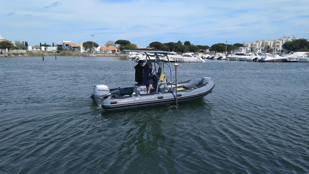
The data are collected by 3 to 4 employees in the field and at sea, using two DGPS (Trimble R10 Differential GPS) and a single-beam echo sounder (Altus PA200) on board a semi-rigid rubber boat. Several geomorphological indicators are measured: the upper coastline and the foot of the dune as well as the presence of berms and underwater sand-bars for example.
The data are analysed to determine how the coastline has shifted in relation to the past year as well as the long-term trends of its evolution (since the beginning of the Corsican Coastal Observation Network (ROL) in 2001).
As the beach morphology and the coastline are subject to significant spatial and temporal variability, these annual measurements are supplemented at certain sites by more frequent measurements (e.g., cameras and photogrammetry). The latter make it possible to analyse seasonal, monthly or event-related developments.

Monitoring campaign on the Martinique coastline
Since 2017, the Martinique Coastal Observatory has carried out field surveys twice a year (before and after the rainy season) and after each significant hurricane event. These measurements are carried out with differential GPS along transecs, i.e., theoretical lines perpendicular to the coastline, on more than fifteen sandy beaches, with one-centimetre precision. The coastline is also surveyed along the entire beach based on the position of the uprush heights at the interface between land and sea.
The data collected during the campaign are archived and formatted as input for the shared platform and cartography of the Martinique coastal observatory (OLiMar).

