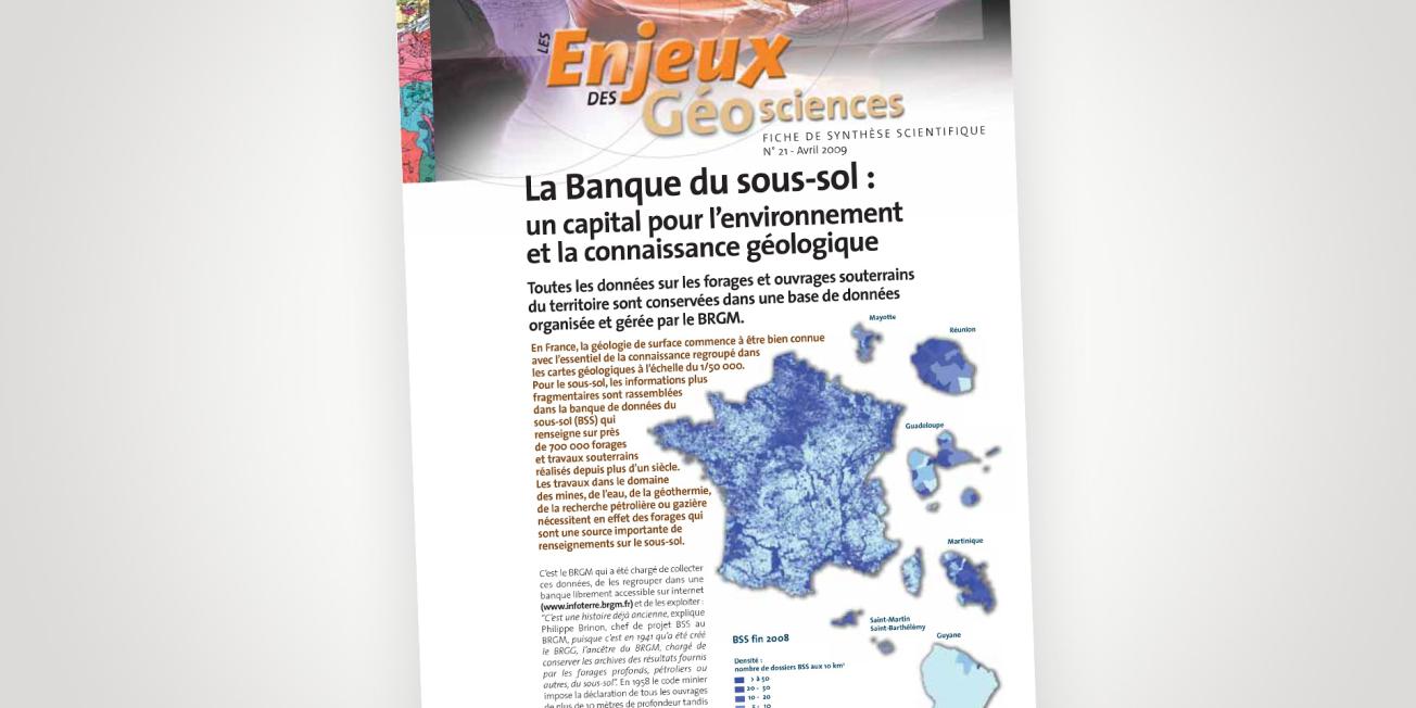
Cover of the data sheet.
© BRGM
Surface geology is now becoming better known in France, with most of the knowledge consolidated in geological maps at a scale of 1:50,000. For the subssurface, more scattered information is collected in the Subsurface Database (BSS), which provides information on almost 700,000 boreholes and underground works carried out over more than a century. Work in the fields of mining, water, geothermal energy, or oil and gas exploration requires drilling, which is an important source of information about the subsurface.
BRGM has been tasked with collecting these data, grouping them together in a database that is freely accessible on the Internet (InfoTerre) and exploiting them.
Invaluable data
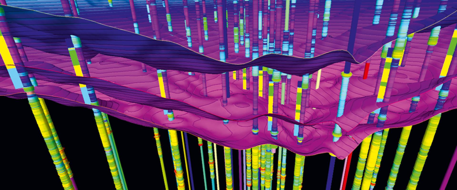
The database contains raw administrative and geological data: owner's name, location, description of the geological strata encountered, digitised documents, technical equipment used for drilling, etc. The information has multiple uses in spatial planning, environmental stewardship, site prospecting, infrastructure layouts, and protection of water or material resources.


