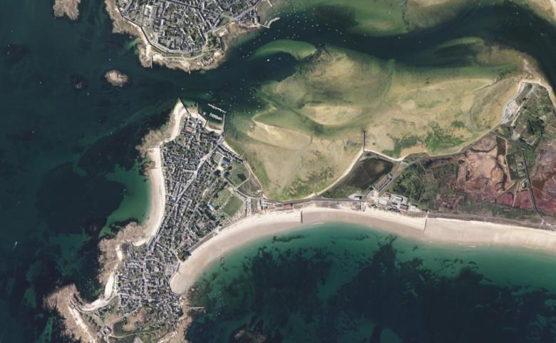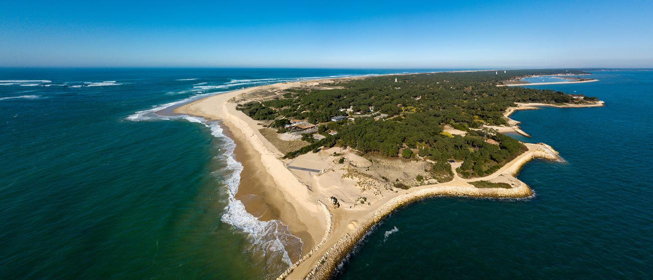
Aerial photograph of the Pointe du Cap-Ferret on Arcachon Bay.
© Adobe Stock - SpiritProd33
Issues and needs
High population growth in coastal regions tends to increase the risk of coastal flooding in low-lying areas. The variety of processes and scales to be taken into account makes it very difficult to predict this phenomenon several hours or days in advance. Although coastal flood warning systems have developed considerably in recent years, they still mostly follow a deterministic approach or rely on simplified methods.
The local authorities and stakeholders of the regions at risk are nowadays requesting increasingly precise forecasts that take into account regional uncertainties and issues. However, a series of obstacles impedes the provision of relevant information for decision-making (computing time, cascading uncertainties, communication to stakeholders, etc.), thus calling for interdisciplinary cooperation.
Expected results
The 4-year ANR ORACLES project addresses the production, translation and visualisation challenges related to the probabilistic forecasting of coastal flooding and its consequences on the region. It aims to:
- better define the needs and expectations of a wide range of users regarding probabilistic forecasting,
- develop methods for spatialised flood forecasting from the Météo-France comprehensive forecasting system based on promising meta-modelling techniques,
- characterise the sources of uncertainty in the entire modelling sequence, from meteorological scenarios to coastal flooding,
- describe the relevant indicators for each type of user and the possible domino effects on critical networks,
- design innovative geo-visualisation tools for experts and crisis managers to better explore, analyse and map probabilistic forecasts of coastal flooding and its impacts.
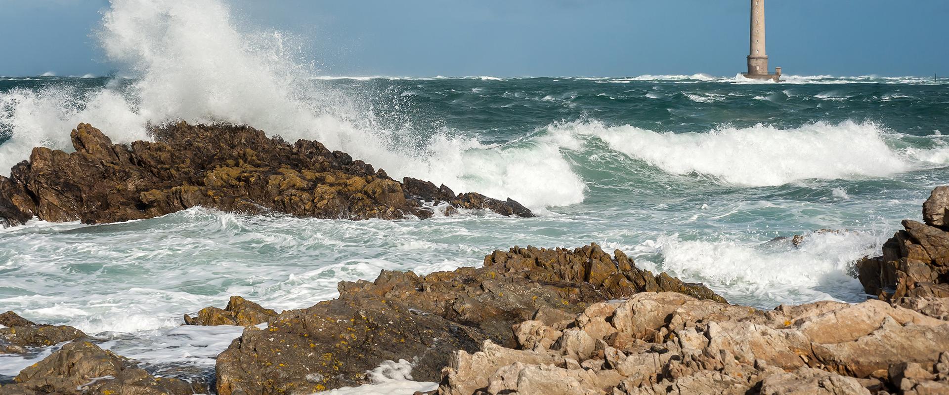
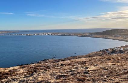
The project will be carried out on two complementary pilot sites (Arcachon Bay in Gironde and the town of Gâvres in Morbihan) covering different types of regions and coastal flooding processes.
The project team will rely on national and local user groups covering a wide range of stakeholders involved in coastal flooding management to guide and provide feedback on developments: operational forecasters, regional coastal flooding experts, technical network managers, emergency services, and decision-makers from state and local government departments. To do this, the project will re-mobilise the local stakeholders involved in the RISCOPE project (on the Gâvres site) and during the SAFFIR exercise (on Arcachon Bay).
BRGM's role
BRGM is the project coordinator.
Its technical action is focused on the implementation of numerical models of coastal flooding and the development of artificial intelligence methods to optimise computing times and characterise the various sources of uncertainty. Thanks to its regional network, which is as close as possible to the stakeholders and their needs, BRGM also plays an interface and mobilisation role for the project's various user groups.
Partners
- BRGM
- Météo-France
- IGN-LASTIG
- KEYROS

