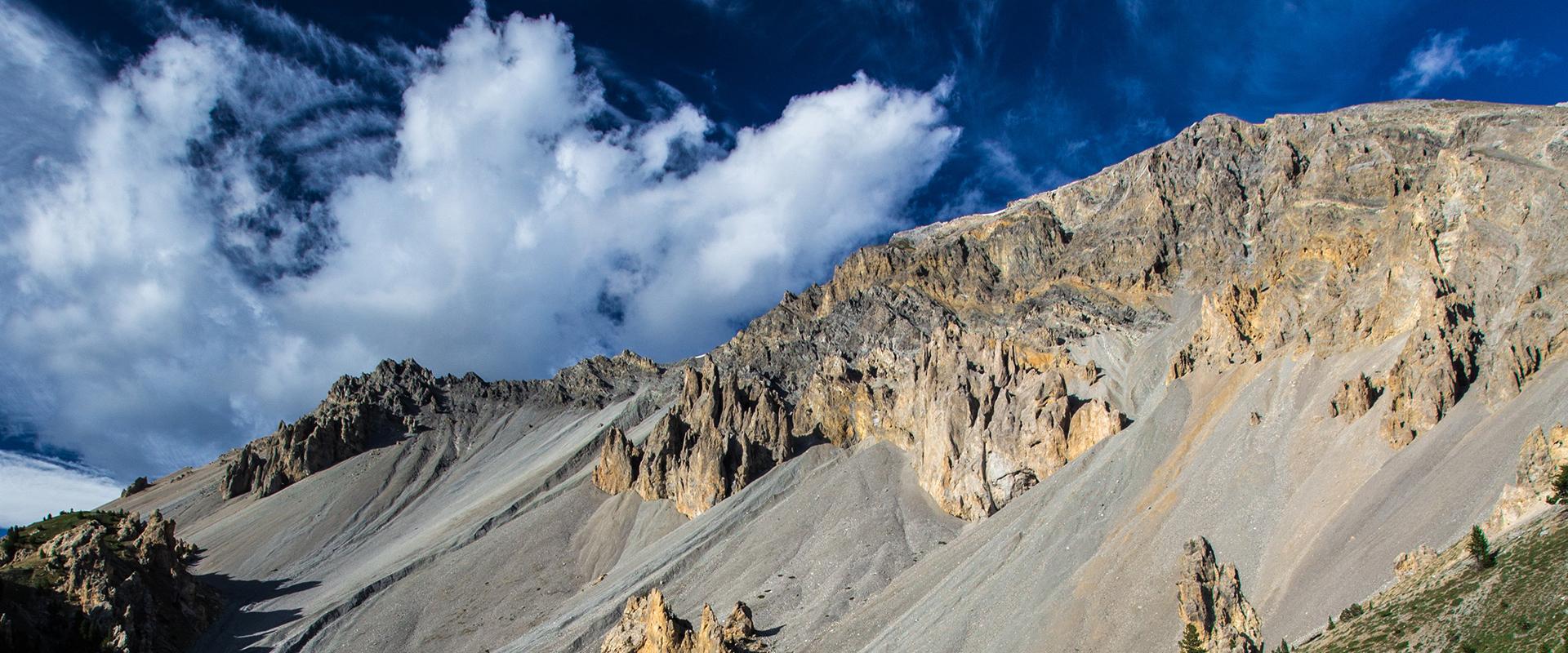
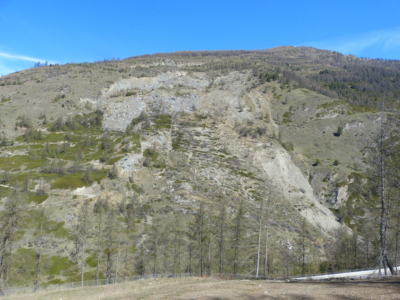
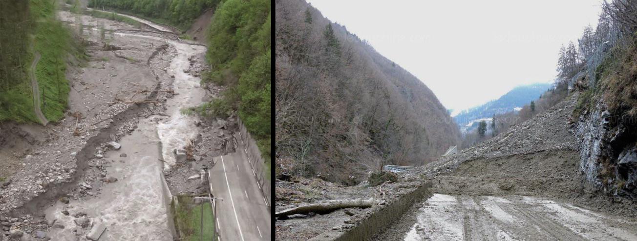
Mountain landslides in the Arly Gorges, Savoie, and the Haut Guil valley, Hautes-Alpes
In these two steep alpine valleys with several torrents, historical landslides have prevented permanent human settlement in the more unstable areas. Current landslides thus remain poorly understood.
Nevertheless, these valleys are communication routes and are exposed to damage either directly from unstable slopes, or indirectly from torrent bed loads impacting structures further downstream.
Improving landslide emergency management
In these two Alpine valleys, recent events, such as in Panissats and Moulin Ravier in May 2015 and Montgombert in 2016 for the Arly Gorges, and the Pas de l’Ours landslide in 2016–2018 for the Guil valley, already point to an increase in landsliding, potentially from climate change.
The objectives of the MIROIR project are to:
- improve knowledge of slope instabilities by better characterising unstable slope areas and assessing their potential impacts in the event of marked reactivation (risk scenarios) in the context of climate change; and
- train local technical experts accordingly.
Action under the programme will be taken in four areas:
- data collection and acquisition,
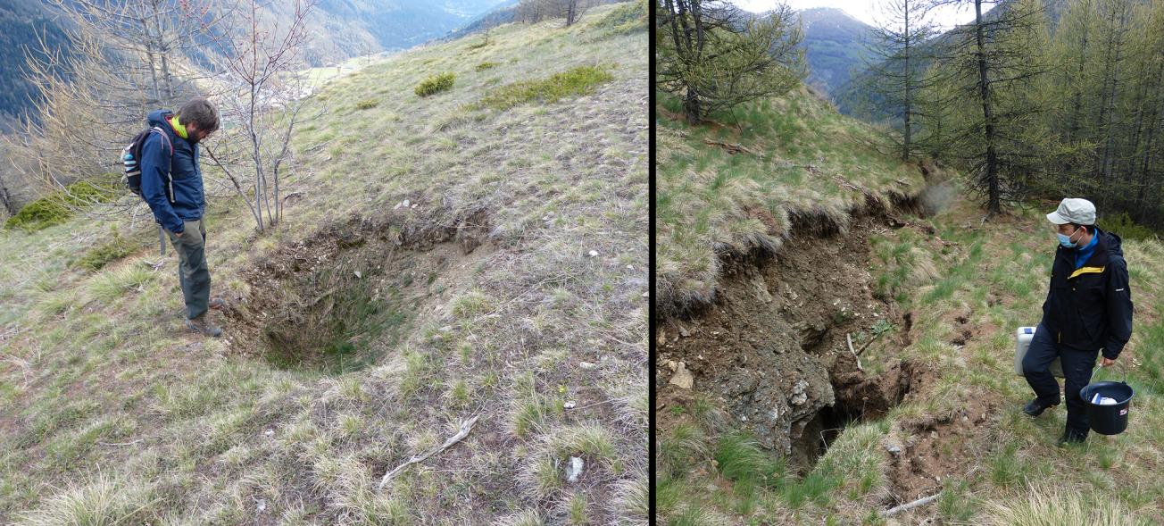
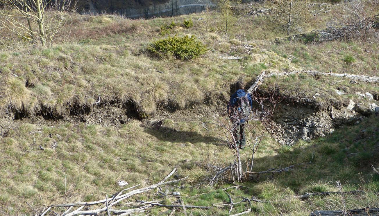
- characterising unstable masses and movements, and installing instruments,
- simulation of risk scenarios, and
- conclusion, adaptation and sharing of results.
Role of BRGM and its partners
BRGM is project developer for the MIROIR project.
The MIROIR project team is multidisciplinary. It brings together geologists, specialising in natural risks and geomorphology in particular, and hydrogeologists (BRGM), a geophysicist and expert in photogrammetric monitoring (ADRGT), a risk manager and risk culture facilitator (PNRQ), a historian, and other technical service providers (RTM05, UniStra\EOST).
BRGM is in charge of geological and geomorphological field surveys, acquiring hydrogeological data through sampling and tracing in collaboration with the Multidisciplinary Observatory of Slope Instabilities (OMIV), characterising unstable masses, and simulating risk scenarios due to climate change, as well as drawing the project conclusions.
ADRGT is responsible for geophysical surveys and photogrammetric monitoring. It will help characterise unstable masses with support from EOST, and share the project findings.
The Queyras Regional Nature Park will contribute to data acquisition, together with RTM05, a historian and the park’s scientific advisers, and to the sharing and dissemination of final results.
Funding and other external partners
This project was selected following a ERDF POIA 2014–2020 call for projects, under Objective 4, Priority 3, and runs from mid-2020 to the end of 2022. The total budget for the project, including partners, is €404,267 for the eligible part (50% ERDF-POIA, 30% CIMA-FNADR and 20% self-financing).
The associated observers of the MIROIR project are the following:
- CD73 and CD05
- DDT73 and DDT05
- RTM (Northern Alps and Southern Alps)
- CNRS-OMIV (UniStra\Eost and UniFrancheComte\Chrono-Environnement)
- SMBVA, Syndicat Mixte du Bassin de la Vallée de l’Arly (Arly valley basin water board)
- Aiguilles, Cohennoz and Ugine communal authorities
This project is being carried out in conjunction with other European projects, such as the ongoing PITEM project and the completed AdVitam project, and other ongoing activities (thesis under the Geological Repository of France project).

MIROIR partner logos.
© BRGM

