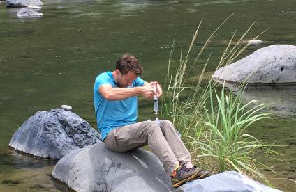
La rivière des Jonquilles, Corrèze
Change the text size
Website accessibility
  • fr
  • en
La rivière des Jonquilles, Corrèze
InfoTerre
The portal for access to BRGM geoscientific data
BRGM Job offers
Join the French geological survey
Annual report
BRGM's highlights and key results.
BRGM History
History of the BRGM, the French geological survey
Operational post-mining
Mine safety and risk prevention
Other websites
  • RGF - French Geological Reference Platform
  • ADES - Groundwater data access portal
  • Géorisques - A portal to better understand the risks in France
  • Géothermies - All about geothermal energy
  • Minéralinfo - The French portal for non-energy mineral resources
  • BRGM Training - Continuing professional training
  • HAL-BRGM - BRGM's scientific publications
All websites
BRGM logo with the French Republic logo
French
geological
survey
La rivière des Jonquilles, Corrèze
  • Public partner, local government
    Public partners: BRGM at your side
    Expert studies
    Our solutions
    French regional network
    References and projects
    Public reports
    Scientific publications
    Websites, apps and databases
    Contacts
  • Company
    Working with the BRGM, a guide
    Innovation and transfers
    Our solutions
    References and projects
    Laboratories and technological platforms
    Continuing professional training
    Websites, apps and databases
    Becoming a BRGM supplier
    Contacts
  • Researcher
    Scientific research
    Public reports
    Scientific publications
    References and projects
    Laboratories and technological platforms
    Websites, apps and databases
    Books and geological maps
    Continuing professional training
    Doctorates and post-doctorates
  • Student
    Higher education
    Jobs and careers
    Doctorates and post-doctorates
    Work-study contracts and internships
    Websites, apps and databases
    Books and geological maps
    Public reports
    Scientific publications
    News
  • Teacher, pupil
    Discovering the Earth Sciences
    Lumni Enseignement, BRGM's educational resources
    Higher education
    Websites, apps and databases
    Books and geological maps
    Public reports
    Scientific publications
    News
  • Journalist
    News and press releases
    Events
    References and projects
    Public reports
    The BRGM at a glance
    Newsletter
    Press desk
  • Citizen's group, citizen
    News
    Events
    Jobs and careers
    The BRGM at a glance
    French regional network
    Discovering the Earth Sciences
    Undertakings
    Newsletter
    Results and data
La rivière des Jonquilles, Corrèze
  • Challenges
    Challenges
    • Geology and knowledge of the subsurface
    • Groundwater management
    • Risks and spatial planning
    • Mineral resources and the circular economy
    • Subsurface potential for the energy transition
    • Digital data, services and infrastructure
  • Activities
    Activities
    • Scientific research
    • Expert studies
    • Innovation and transfers
    • Analysis and experimentation
    • Mine safety and risk prevention
    • Higher education
    • Continuing professional training
    • Knowledge dissemination and open science
  • Becoming a partner or client
    Becoming a partner or client
    • Companies: working with the BRGM, a guide
    • Public partners: BRGM at your side
    • Our solutions
    • Laboratories and technological platforms
    • Becoming a BRGM supplier
  • Identity
    Identity
    • The BRGM at a glance
    • Strategy
    • Governance
    • History
    • Undertakings
    • Subsidiaries and holdings
  • Results and data
    Results and data
    • References and projects
    • Public reports
    • Scientific publications
    • Software
    • Websites, apps and databases
  • In France and worldwide
    In France and worldwide
    • French regional network
    • Europe
    • International
  • News
  • Events
  • Educational area
  • State of groundwater
  • Jobs and careers
  • BRGM Publications
  • Newsletter
  • Contacts
Installing seismic stations, Reunion Island
Breadcrumb
  • Home
  • Results and data
  • Websites, apps and databases

Websites, apps and databases

Websites and databases published or recommended by BRGM, the French geological survey.
Reset
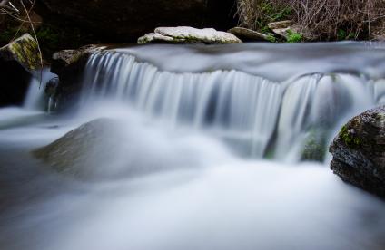
A waterfall, Spain
Website
MétéEAU Nappes
The MétéEAU Nappes website is an innovative platform that supports decision-making for groundwater management. It enables users to monitor groundwater levels in real time and to establish forecasts of future levels.
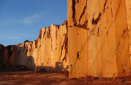
Exploitation de calcaires marbriers de Krystal
Website
Minéralinfo - The French portal on mineral resources
Minéralinfo is the French portal for non-energy mineral resources, edited by the Ministry of Ecological Transition and BRGM. It disseminates public information and raises awareness of the issues related to non-energy mineral resources (metals, industrial minerals and construction materials).
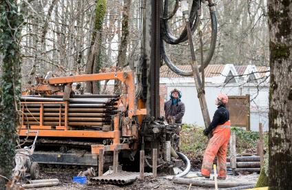
Forages sur la plate-forme Géothermie du BRGM, Orléans
Website
Minergies - The portal for underground energy resources
Minergies is the portal for underground energy resources (hydrocarbons, high-temperature geothermal energy, underground storage). Aimed at all institutional and economic players as well as the general public, this site is the tool for accessing underground data collected from operators.
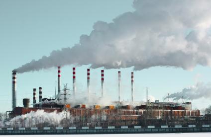
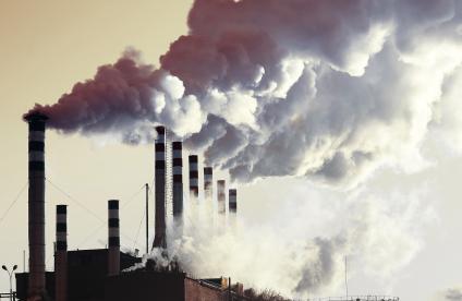
Vue des cheminées d'une centrale électrique au charbon, Géorgie
Website
MODULATE
MODULATE is a research project funded by the French National Research Agency (ANR) and coordinated by the French geological survey (BRGM). It aims at modeling long period ground motions and assessing their effects on large-scale infrastructures.
Vue des cheminées d'une centrale électrique au charbon, Géorgie
Website
MonAIOT
The MonAIOT portal, implemented by the French General Department for Risk Prevention and the BRGM, provides operators and managers to access all the applications related to the regulatory environmental monitoring of classified facilities.
Water abstractions, Reunion Island
Website
Naïades: data on surface water quality
It is easy to find measurement data on the quality of rivers and water bodies via the Naïades website. Surface water-quality monitoring includes different types of data such as hydrobiology, hydromorphology, physicochemistry and temperatures.
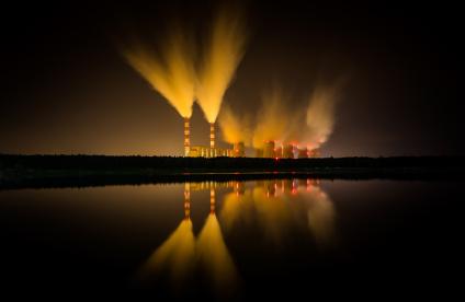
Vue des émissions de vapeur d'une centrale nucléaire, Pologne
Website
NARSIS
The Probabilistic Safety Assessment (PSA) procedure enables practitioners to better understand the causes most likely to trigger nuclear accidents and to identify the most critical components of systems. The NARSIS project aims at making significant scientific step forward towards addressing the update of some elements required for the safety assessment.
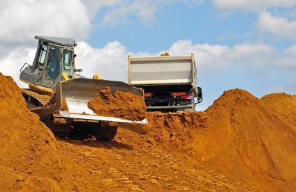
A construction machine loading earth, Austria
Website
National Register of Waste, Excavated Soil and Sediments
The website of the National Register of Waste, Excavated Soil and Sediments provides an online service for reporting the information necessary for tracing this waste.
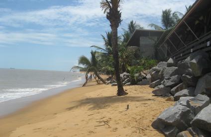
Vue de l'érosion du littoral sur les plages de Rémire-Montjoly, Guyane
Website
Observatory of Coastal Dynamics of French Guiana
The Observatory of Coastal Dynamics of French Guiana is a tool dedicated to the observation, knowledge and support for the management of land-use planning issues on the coastal strip.
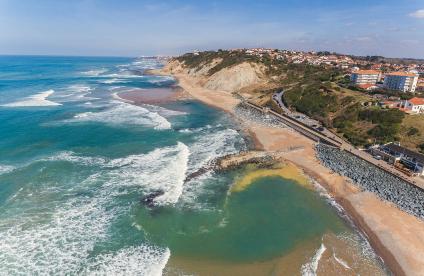
Plage de Bidart, Pyrénées-Atlantiques
Website
Observatory of the Nouvelle-Aquitaine Coast - OCA
The Observatory of the Nouvelle-Aquitaine Coast (OCA), supported by BRGM and the ONF, provides coastal stakeholders a tool for observation, decision support and knowledge sharing for the management and prevention of coastal risks.
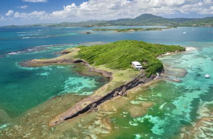
Thierry islet, Martinique
Website
OLiMar - Observatory of Coastal Dynamics of Martinique
The Observatory of Coastal Dynamics of Martinique (OLiMar) is a network that carries out and disseminates information about coastal dynamics in Martinique.
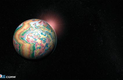
OneGeology : la construction d'une carte géologique du monde
Website
OneGeology
OneGeology is an international initiative of the geological surveys of the world, to create dynamic geological map data of the world, available to everyone via the web.

Pagination

  • First page
  • Previous page
  • …
  • Page 2
  • Page 3
  • Current page 4
  • Page 5
  • Page 6
  • …
  • Next page
  • Last page
3D scan of an underground cavity as part of a stability diagnosis
Newsletter
Subscribe to the newsletter
Contacts and access
Contacts
Press desk
Access maps
Follow us
  • Accessibility
  • Legal information - Credits
  • Personal data protection
  • Cookie management
  • Access to administrative documents
  • RSS feeds
BRGM logo with the French Republic logo
Logo Certification ISO 9001 et 14001 Logo EuroGeoSurveys Logo AllEnvi
BRGM - 3 avenue Claude-Guillemin - BP 36009 45060 Orléans Cedex 2 - France - Tel.: +33 (0)2 38 64 34 34
Newsletter

Subscribe to our newsletter and receive our news every month!