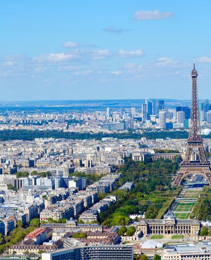
The Paris Region is home to a full 19% of the French population, with 12 million people in an area of 12,000 km2. It has eight départements: Essonne (91), Hauts-de-Seine (92), Paris (75), Seine-et-Marne (77), Seine-Saint-Denis (93), Val-de-Marne (94), Val-d'Oise (95) and Yvelines (78).
Although the region is highly urbanised, (21% of the area is built up), 50% of the area is agricultural land, while an additional 28% is covered in woodland and forest.
As a cultural and intellectual city as well as a scientific and urban laboratory, the Paris Region accounts for 28% of France’s gross domestic product, with seven competitiveness clusters and many companies that are leaders in the automotive, aeronautics, printing, electronics, pharmaceutical and food-processing sectors. Forty percent of French researchers are based in this region, making it unique in Europe for its creative and innovative capacity.
The spatial-planning and economic objectives of the region are set out in the regional master plan for economic development, innovation and internationalisation (SRDEII) and in the regional master plan for the Paris Region (SDRIF), to which BRGM is contributing expertise in its key areas of specialisation.
Partners
- Government departments and public institutions: DRIEE, ARS, DDT, SGP, CEA, CEREMA, Prefectures, Agencies (Seine-Normandy Water Board and ADEME), research establishments (Paris VI, Mines Paris Tech, ENS).
- Local and regional authorities: Paris Region, départements, cities, conurbations and municipalities, water and inter-communal syndicates.
- Private companies for the development of methodology, R&D and innovations.
Practical information
To find out more
What's new in the Paris region?
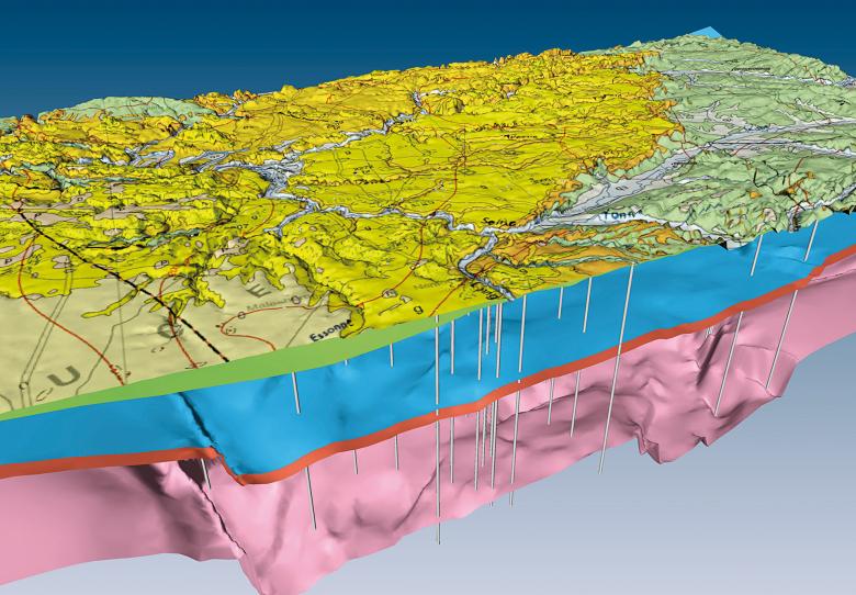
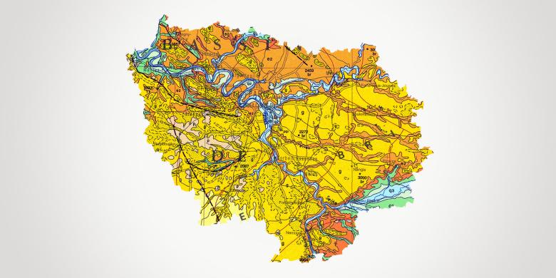
Extract from the 3D geological model of the Paris Basin, with the geological map overlaid onto the digital terrain model (Paris, 2000).
© BRGM
Groundwater management: protection of resources
Managing conflicts of use between the exploitation of the subsurface, the extraction of energy resources, drinking water resources, irrigation, industrial water needs and polluted sites and soils will be a major challenge in the coming years, in the light of the improvement targets set out for groundwater quality in the 11th programme of the Seine-Normandy Water Board (AESN), and the need to adapt to climate change.
BRGM’s Ile-de-France regional division focuses primarily on the study, monitoring and preservation of water resources. A team of hydrogeologists deal with all groundwater-related issues: monitoring of groundwater levels, assessment of available resources, research into the causes of contamination, evaluation of exchanges between groundwater and rivers, development of tools for forecasting low-water flows, water management in urban areas, and so on. The Seine-Normandy SIGES (Information System for Groundwater Management) is the website dedicated to groundwater management in the Seine-Normandy basin, helping to distribute hydrogeological knowledge to a range of audiences.
Subsurface potential for the energy transition: geothermal energy development
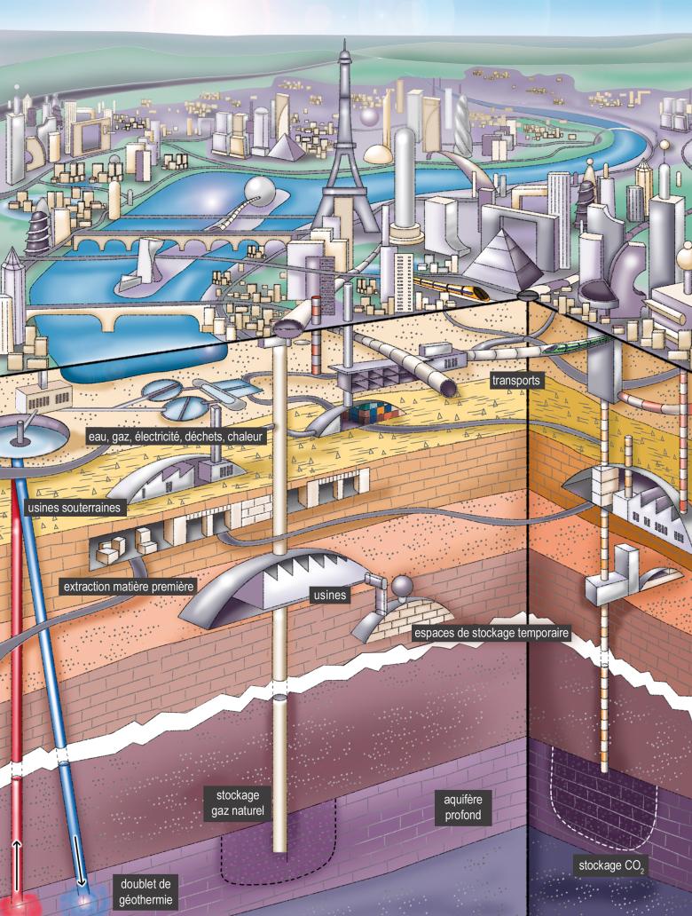
With 90% of geothermal installations located in the Paris Region, France is the world leader in geothermal district heating networks. The objectives set out in the Energy Transition for Green Growth Act (LTECV) should lead to a significant increase in the use of alternative energies such as geothermal energy. Groundwater resources are particularly crucial and extensive in the region.
Owing to the presence of the Dogger aquifer (with a temperature of 70°), the region is well placed to develop geothermal energy. However, the geothermal potential has yet to be defined or clarified for the Albian-Necomian, Lusitanian and Triassic formations, which could be an alternative to the exploitation of the Dogger in some areas. Concerning so-called “minimal-impact” geothermal projects, the maps drawn up by BRGM to show regulatory zoning can be used to identify the geological risks associated with open- or closed-loop geothermal systems.
BRGM Paris Region is also involved in communication and training activities on very low-enthalpy geothermal energy. It supports local authorities in drawing up geothermal potential maps for their areas and provides assistance during the preliminary phases of large-scale projects.
Geology and knowledge of the subsurface: mapping and support for stakeholders
Understanding different areas in order to develop a grasp of daily realities and needs is essential for conducting projects in the Greater Paris area.
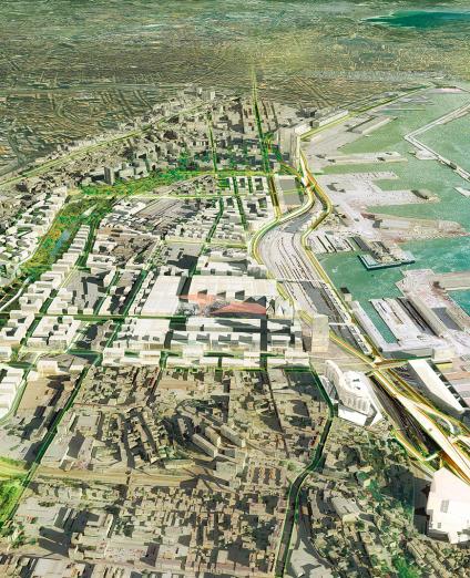
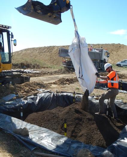
BRGM supports studies on the management of excavated soil and construction site waste, associated with the concept of urban anthropogenic geochemical background. The building of housing on a large scale will increase demand for materials, particularly aggregates for making concrete. BRGM is also providing 3D subsurface maps covering the footprint of the Greater Paris Express project, to improve knowledge and guide planners in taking account of the geological, geotechnical and hydrogeological risks associated with the subsurface.


