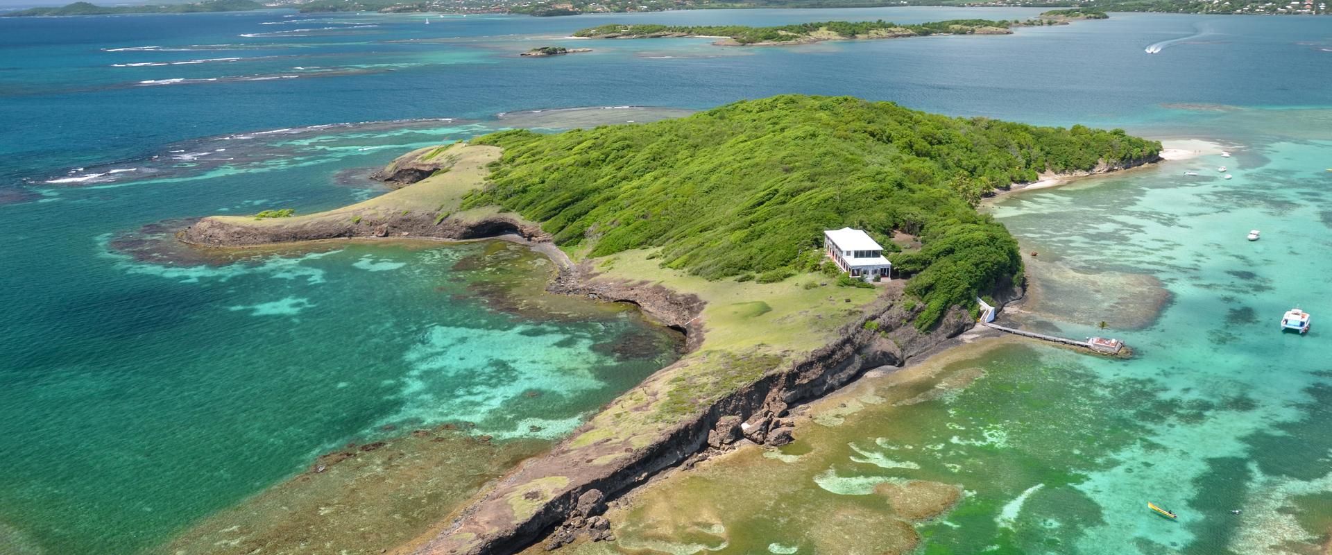
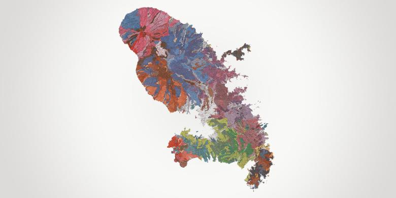
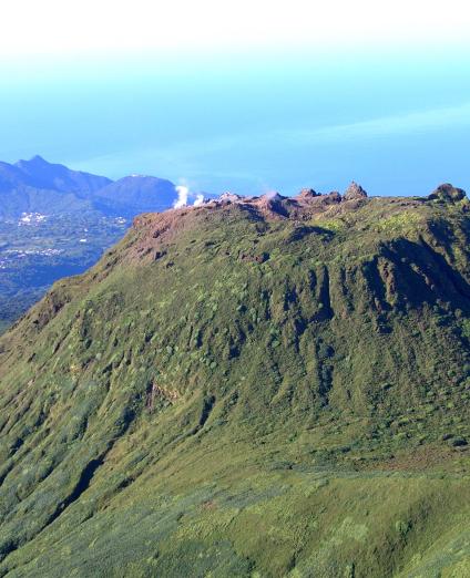
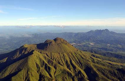
Located in the heart of the Caribbean, Martinique is a member of the Organisation of Eastern Caribbean States (OECS), of CARICOM and of the Association of Caribbean States, all of which work to strengthen regional cooperation and to promote sustainable development. Martinique is the largest volcanic island in the Lesser Antilles archipelago and one of the 34 world biodiversity hotspots. Covering 1080 km2, the island is exposed to numerous natural hazards: earthquakes and tsunamis, volcanic eruptions, tropical cyclones, coastal erosion and landslides.
Martinique has 34 municipalities and a population of approximately 377,000. It is the fourth most densely populated French region (340 inhabitants/km2).
BRGM Martinique has been based in Fort-de-France for over fifty years. The team of about ten specialists focuses its activities mainly on groundwater resources (quantity and quality), natural hazards (ground, coastline, seismic and volcanic movements), geothermal energy, the environment (soil pollution) and geology. The regional office also has an archive space open to the public and a set of equipment for use on its assignments: piezometric sensors, multi-parameter sensors, pumps, a generator, DGPS (topographic mapping equipment), a photo and video monitoring system, a bathymetric sounder, seismic stations, etc.
Partners
- Government departments: Prefecture, DEAL, DAAF, ARS.
- Public bodies and institutions: Office de l'Eau de la Martinique (Martinique Water Office), ADEME, OFB (French Biodiversity Office), Antilles University, IFREMER, CIRAD, IRD (Development Research Institute), OVSM (Vulcanological and Seismological Observatory of Martinique), ONF (National Forestry Office).
- Local authorities: CACEM (Central Martinique Conurbation), CAP NORD, Espace SUD, municipalities, CTM (Martinique Regional Municipality).
Practical information
To find out more
What's new in Martinique?
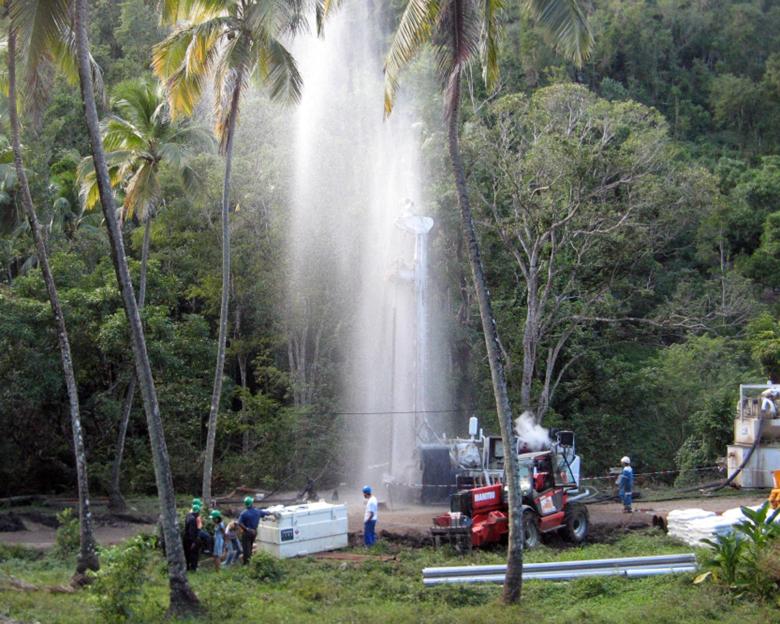
Exploratory drilling for groundwater in the Font Lahaye river basin (Schœlcher municipality).
© BRGM - Benoît Vittecoq
Groundwater management: knowledge and protection of resources
In Martinique, water resources are abundant but unevenly distributed (dry season/rainy season, much less rainfall in the south). In addition, 90% of the water for the drinking water supply is abstracted from rivers in five catchment areas. Accordingly, even if there is no water shortage, the situation is regularly critical during the period leading up to Easter.
BRGM carries out piezometric groundwater monitoring and publishes a Hydrogeological Situation Newsletter (BSH) to anticipate water shortages. It also monitors the chemical state of groundwater bodies. In parallel, it strives to understand the way volcanic aquifers work and to find groundwater via geological, hydrogeological and geophysical data acquisition surveys and reconnaissance boreholes.
Subsurface potential for the energy transition: geothermal energy contributing to the energy transition
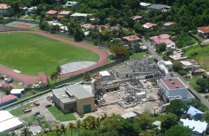
The objective of Martinique's Multi-Year Energy Programme (PPE) is to achieve energy independence by 2030 with an intermediate objective of 55% renewable energy by 2023, including 40 MW of geothermal energy. Characterising the high and low enthalpy geothermal potential of Martinique and neighbouring islands for the purposes of interconnecting these areas is a major project.
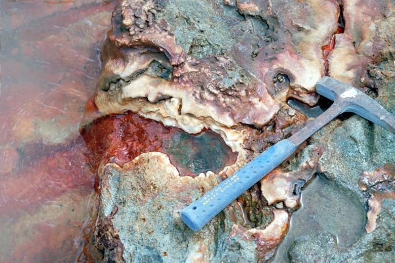
BRGM carries out exploration surveys on the high enthalpy geothermal energy potential (for electricity generation) and low enthalpy geothermal energy potential (for cooling or other direct heat uses) in Martinique and the Caribbean by deploying the various specialists for recognising and assessing geothermal systems: geochemists, geophysicists, vulcanologists, hydrogeologists, etc.
Risks and spatial planning
Understanding the hazards to reduce the exposure of the area
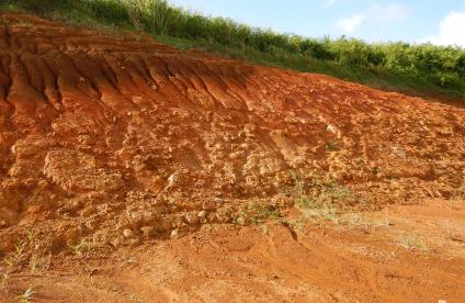
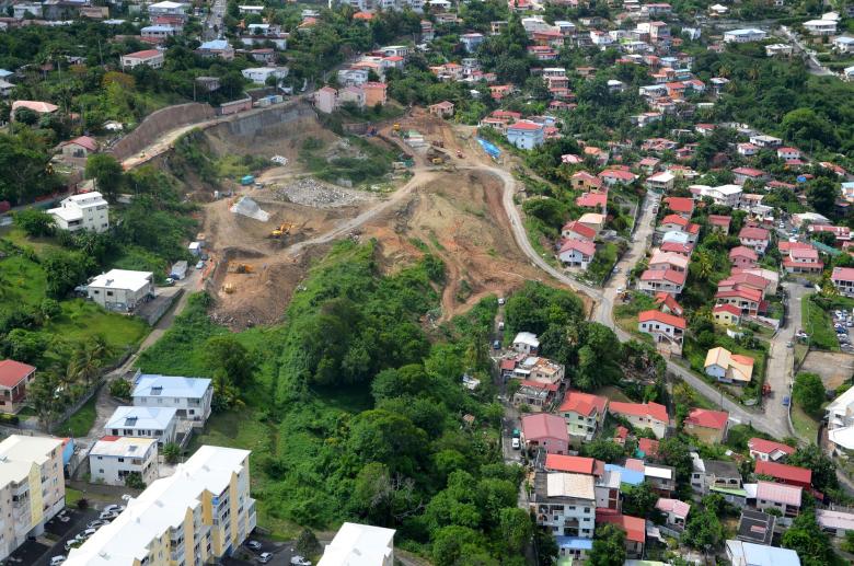
As Martinique is located on the subduction zone between the Atlantic and Caribbean plates, the island is exposed to volcanic, seismic and tsunami hazards. With its mountainous relief, it is vulnerable to major landslides (more than 600 of these events have been recorded since the 1980s). Some of them severely affect the area by damaging structures (houses, road network, civil engineering structures, water and electricity supply networks, etc.).
Exposed to cyclone swells, tropical storm surges and rising sea levels due to climate change, Martinique’s various coastlines are vulnerable to coastal flooding and erosion that can seriously damage both natural coastal environments and infrastructure.
BRGM works closely with central and local government departments, providing advice, expertise and experience on natural hazards.
It also conducts studies to improve knowledge on the different hazards that arise from climate change and the geodynamic context. Addressing phenomena such as landslides, earthquakes and tsunamis, liquefaction and coastline retreat, BRGM develops methodologies to characterise and produce maps of each hazard. These maps are used for spatial planning purposes. particularly for government departments to update the Natural Risk Prevention Plans.
Finally, in support of a strategy for the rational management of the Martinique coastline, BRGM has set up a preliminary network for monitoring the mobility of the coastline and sargassum stranding on a number of key beaches in order to clarify the sedimentary dynamics over the course of a year.
Managing polluted environments
Long-term pollution by pesticides such as chlordecone significantly affects the environment and the soil-groundwater-sea continuum. The persistence of these products in the environment leads to a need for knowledge of the polluted areas and an understanding of the transfer mechanisms.
For the past ten years and in partnership with the DAAF (Food, Agriculture and Forestry Directorate), BRGM has been collecting and integrating all the acquired analyses into a Geographic Information System (GIS) to provide a regional representation of soil contamination levels, and has been carrying out research projects for in-situ soil remediation and to improve understanding of transfer mechanisms (OPALE and Chalvet observatories).


