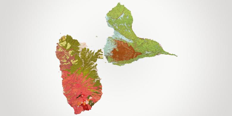
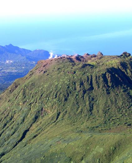
Located on the Lesser Antilles volcanic arch, Guadeloupe is an archipelago made up of two large islands, Grande-Terre and Basse-Terre and a collection of islands and islets, Marie-Galante, les Saintes, la Désirade and Petite-Terre. With a surface area of 1,630 km2, it has 32 municipalities (communes) with an overall population of 400,000.
The scope of intervention of BRGM's Regional Head Office also covers the so-called “Northern Islands” overseas communities of Saint-Martin and Saint-Barthélemy located approximately 250 km north of Guadeloupe. Being on the edge of a tectonic plate and on the route of tropical cyclones, the region is subject to numerous natural hazards, earthquakes and tsunamis, volcanic eruptions, coastal erosion and flooding, and ground instability. The agri-food industry involving cultivation of bananas and sugar cane is historically the archipelago's main economic sector, but there is now very significant growth in tourism. Despite this, the local economy still suffers from high unemployment (24% of the working population).
The economic and spatial planning objectives are set out in a “Regional Economic Development, Innovation and Internationalisation Master Plan” (SRDEII) and a “Regional Spatial Planning Master Plan” (SAR), for which BRGM provides its expertise. BRGM Guadeloupe also contributes to regional cooperation within international projects in the Caribbean.
Partners
- Government departments and operatives: Prefecture, DEAL, DAAF, ARS, Water Board, ADEME, ONF, Parc Naturel, Port Autonome.
- Local and regional authorities: Guadeloupe Region, Département, conurbations, municipalities.
- Research: Université des Antilles, INRA, CIRAD, OVSG-IPGP, IFREMER, IRD, University of West Indies, Universidad de Puerto Rico, Universidad de Cuba, etc.
Practical information
To find out more
What's new in Guadeloupe?
Risks and spatial planning
Knowledge of and protection against coastal risks
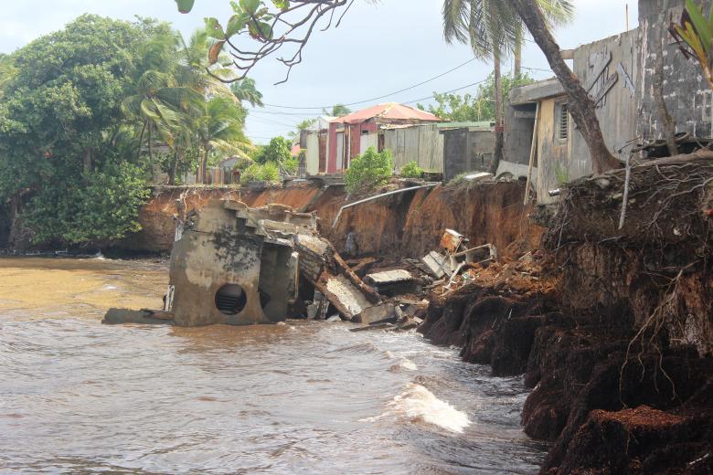
While BRGM Guadeloupe focuses on all the geological hazards that affect the archipelago (volcanic, seismic, ground movements), it has also focused in recent years on coastal risks related to climate change.
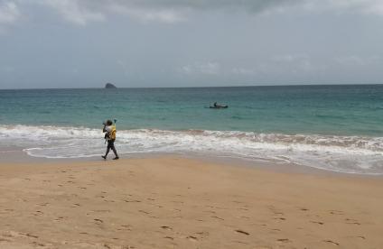
The hazards concerned are coastline recession and coastal flooding (cyclones and tsunamis). A coastline monitoring network was thus set up in 2015 to determine historical and current trends with potential applications for risk prevention plans (PPRs), the area covered by the 50 pas géométriques (a legal status protecting the shoreline in French overseas départements and territories) and sargassum washed up on beaches. Coastal flooding is numerically simulated at both the Caribbean and local scales including an estimate of regionalized mean sea-level rise related to climate change (e.g., CA3F and CARIB-COAST projects). Crisis management support, particularly in the event of cyclones, is also provided.
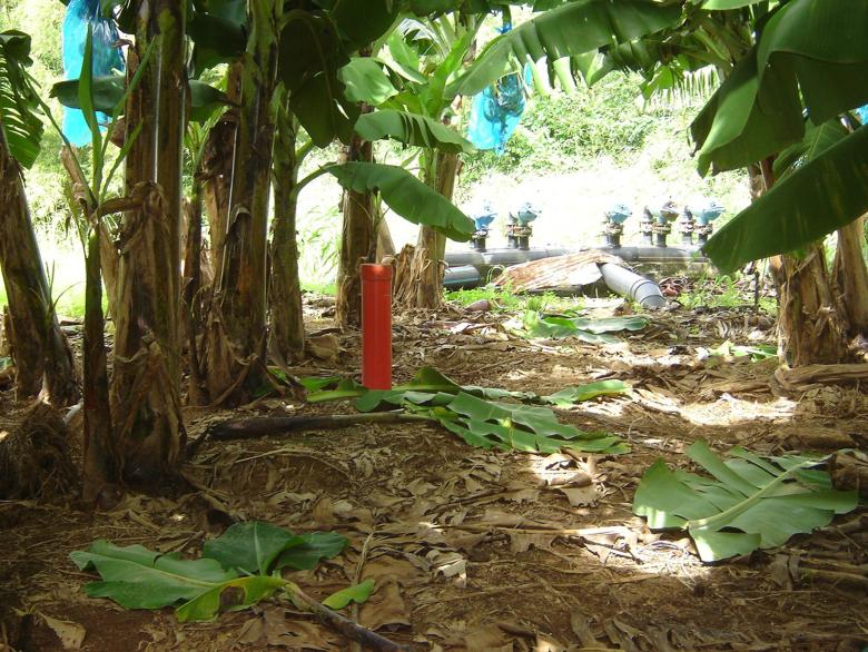
Pollution due to agriculture, banana plantation of Capesterre Belle Eau, Guadeloupe.
© BRGM - Laure Ducreux
Managing polluted environments
Guadeloupe is facing some pollution problems that are specific to banana growing as well as the particularly sensitive issue of managing waste in island environments.
BRGM intervenes on chlordecone pollution of soils and aquifers (OPALE observatory and mapping of contaminated peri-urban areas). The impact of sargassum storage on the environment is also being studied and monitored. The management and recycling of primary or secondary waste is being studied, in particular waste from construction and public works, excavated soil exchanges, dredging sediments or post-crisis waste.
Groundwater management: knowledge and protection of resources
Water resources are unequally distributed, with Basse-Terre benefiting from a good recharge of groundwater while the other islands are drier. In the Northern Islands (Saint-Martin and Saint Barthélemy) drinking water is produced by desalinisation of sea water.
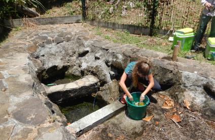
BRGM handles the piezometric monitoring of groundwater and publishes a Hydrogeological Situation Bulletin (BSH). In compliance with the EU Water Framework Directive, it monitors the chemical state of groundwater masses. On Saint-Martin, BRGM has undertaken a major exploration project to find new underground resources. Studies are being conducted to determine the origin of natural and anthropogenic contamination (saltwater intrusions, chlordecone-type pesticides, non-collective sanitation, etc.).
Geology and knowledge of the subsurface: mapping and support for stakeholders
Furthering geological knowledge enables the authorities to meet real societal needs through regional spatial planning.
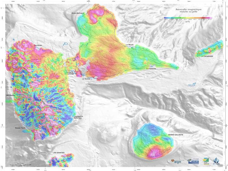
A recent aerial geophysical survey that covered the entire territory of the archipelago has made it possible to develop a regional data infrastructure enabling, inter alia, the identification of potential mineral resource zones, the mapping of saltwater intrusion and the identification of areas vulnerable to ground instabilities. BRGM is updating the geological maps of the Basse-Terre region, in particular those of surface formations (regoliths).
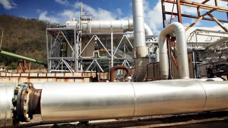
A series of videos created as part of Phase 2 of the European Caribbean Geothermal Energy project.
© Géothermie Caraïbe
Subsurface potential for the energy transition: the development of geothermal energy
Energy self-sufficiency is a major regional challenge and geothermal energy is one of the main potential sources of renewable energy.
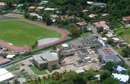
With 50 years of investment in geothermal energy in Guadeloupe, BRGM is a historic player behind the creation of the Géothermie Bouillante electricity production plant. Today, it continues its prospecting in support of the sector, and helps implement the Caribbean Geothermal Excellency Centre.


