The need
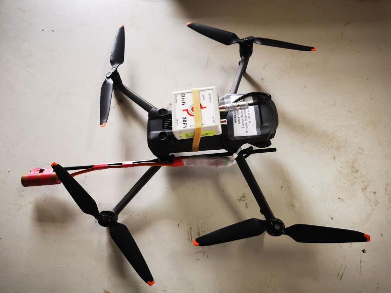
Suspecting that there were car bodies buried on an illegally occupied plot of land that had been covered by rubble, the Guadeloupe DEAL asked BRGM to clear up any doubts. Given the constraints due to the morphology and size of the site, BRGM suggested carrying out a magnetic survey with two main objectives: to delimit the maximum extension of the deposit zones in the mangrove, and to locate these deposits as precisely as possible in the subsurface of the plot, in order to determine the most promising places for future probes.
The results
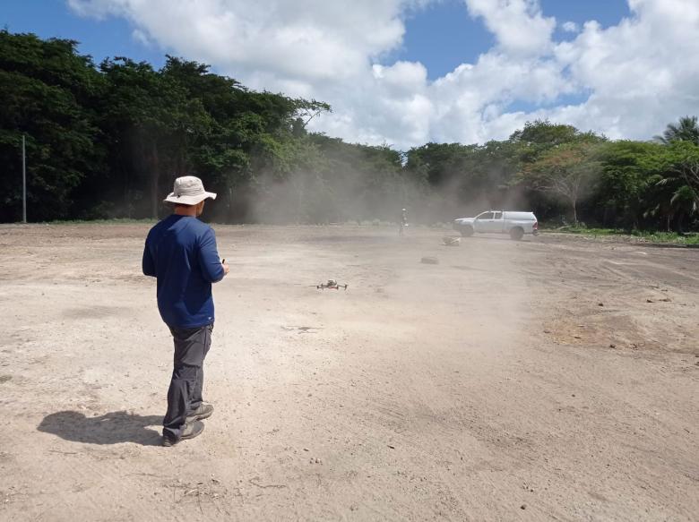
Two overflights of the area were carried out: the first at a height of 30 metres over the trees and the second at a height of 1.70 metres over the area that had been cleared. The data obtained, cross-referenced with the various testimonies and on-site observations, led to the following conclusions:
- The cleared part of the study site is very magnetic overall, with highly unusual variations of several hundred to thousands of nanoTeslas (depending on the altitude at which the measurements were taken). The predominantly dipolar nature of the signals, their large size and high intensity suggested a virtually continuous dissemination (or clustering) of metal parts in the subsoil over most of the cleared area. This image is consistent with the "lasagne of vehicle carcasses" mentioned by one witness.
- Magnetic modelling along a profile criss-crossing the site has made it possible, in a simplified way, and with reasonable assumptions:
- to produce a cross-section of the site's metal deposits, consistent with the elements summarised above,
- to estimate the thickness of metallic deposits at between 2 and 6 metres, in the main magnetic compartments of the plot.

We commissioned BRGM to carry out a magnetic survey on a plot of land that had been illegally occupied by a former garage, and that was covered over with rubble at the end of the 1980s. BRGM experts overcame the challenges of interpreting the magnetic signals, which required post-processing, and were able to delimit the extension of the area where vehicle wrecks were buried in the mangrove. Estimating the thickness of the rubble will also enable the Conservatoire du littoral de Guadeloupe, the current owner of part of the land, to decide on appropriate remedial action for future recreational use.
Using the results
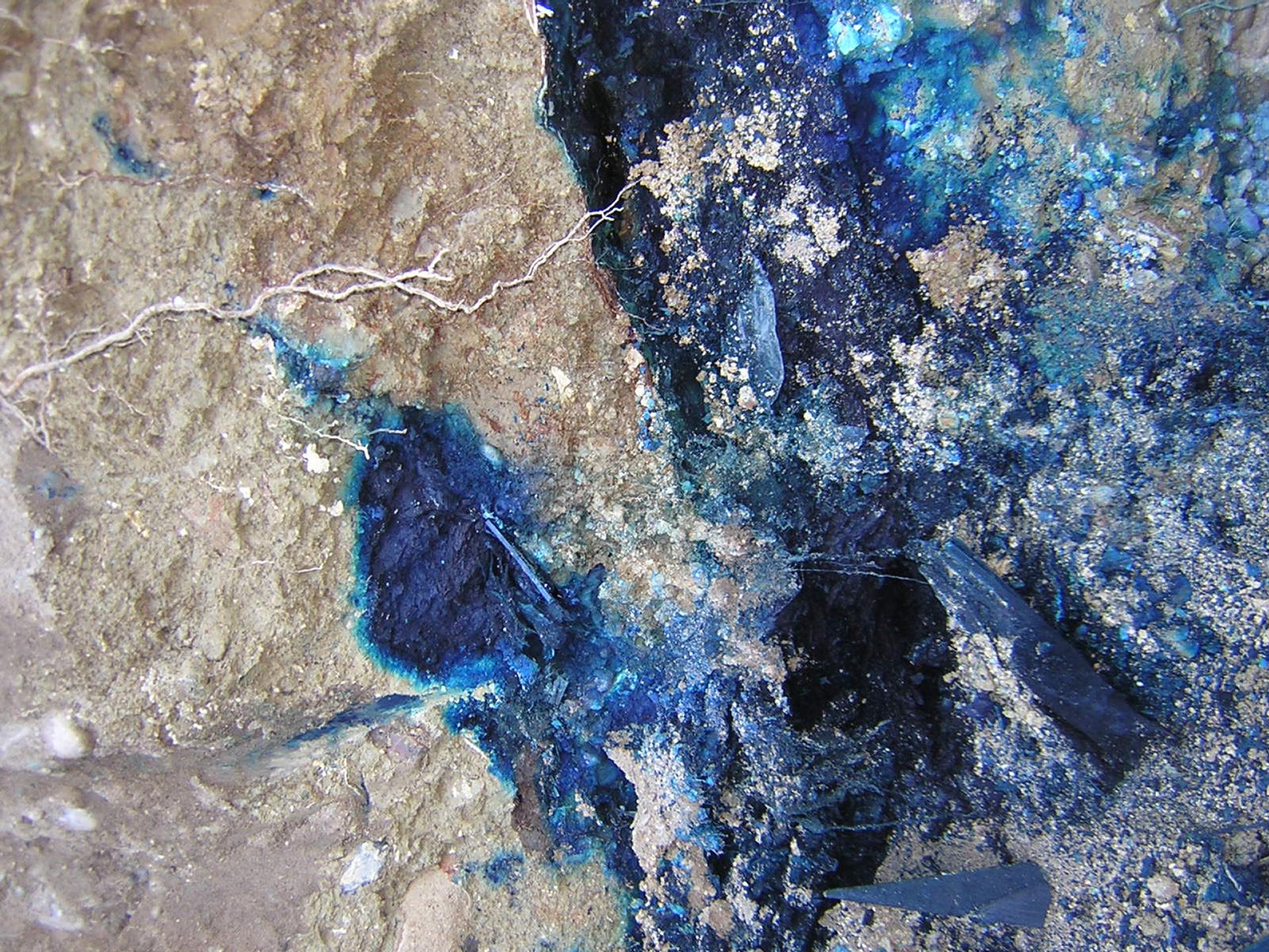
The map obtained identifies several areas that appear to have lower “concentrations” of metal. On this basis, eight boreholes were drilled to obtain information on soil pollution. Given the density and homogeneity of the signal, it was finally decided to dig with a metal shovel rather than an auger. These boreholes revealed a large dissemination of metal particles reminiscent of car shredder residues, which would explain the strong magnetic signal observed.
The partners
- DEAL Guadeloupe
- Conservatoire du Littoral de Guadeloupe


