A peninsula resting on a granite base, with a complex geological and hydrogeological context, Brittany is criss-crossed by 30,000 km of waterways connected to local aquifers and opens onto the sea with 2,730 km of coastline of varying types and characteristics.
The economic and demographic development of the region depends on its access to the various natural resources of the region and their sustainable management, and in particular water resources. It also depends on a good knowledge of the natural hazards to be taken into account for spatial planning.
BRGM has been established in Brittany since 1966 and is one of the region's leading providers of subsurface data. It works with local authorities, government departments and private companies to provide operational responses to local and regional issues. Its missions concern the acquisition of knowledge, diagnosis of water quality, the creation of management and decision-making tools, and capitalising and adding value to data with respect to groundwater, natural hazards (coastline, land movements), geothermal energy, polluted sites and soils and the circular economy.
These interventions draw on many years of experience in providing input for public policy, but also on research and development work.
Partners
- Local and regional authorities: Brittany Region, Departments, water agencies, cities, large conurbations, municipalities.
- Government departments, agencies and institutions: DREAL, ARS, DDTM, Prefectures, Agencies (Loire-Brittany Water Agency, ADEME), and universities (OSUR, Rennes 1, UBO, UBS).
- BRGM is a member of CRESEB, OSUR, CCRRDT, the Eco-Origin cluster, GéoBretagne and COREB.
Practical information
To find out more
What's new in Brittany?
Groundwater management: protection of resources
For several decades, Brittany's water resources have been subject to contamination problems (from nitrates and phytosanitary products), and more recently to monitoring and managing groundwater levels.
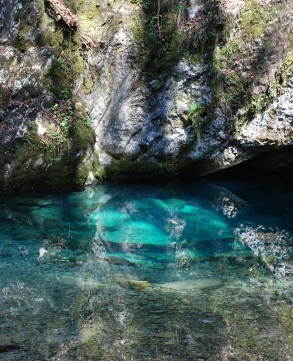
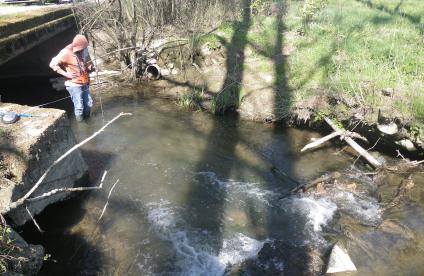
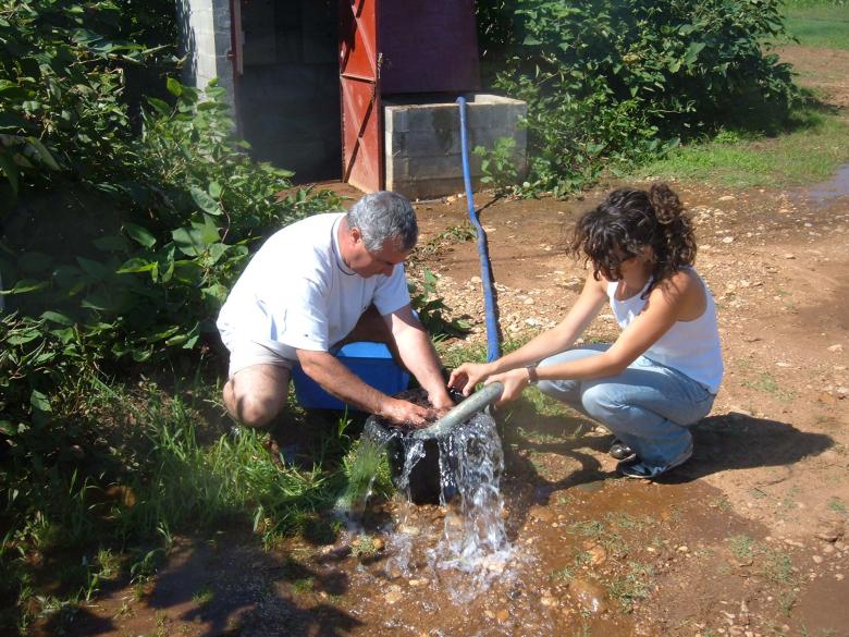
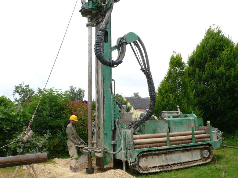
Around 80% of the activity of the Brittany regional division is strongly focused on the study, monitoring and preservation of water resources. Its team of hydrogeologists deals with all groundwater-related issues: monitoring of aquifer levels, evaluation of available resources, research into the causes of contamination, evaluation of exchanges between aquifers and rivers, the development of decision-making tools, water management in urban areas, saline intrusion phenomena in coastal aquifers, etc.
Geology and knowledge of the subsurface: resource mapping and support for stakeholders
Improving geological knowledge enables the authorities to respond to concrete societal needs (exploitation of mineral resources, groundwater management, natural hazards).
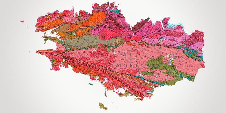
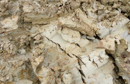
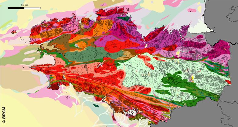
BRGM has been producing geological maps of Brittany at a scale of 1:50,000 since the nineteen seventies and has more recently started vectorising and harmonising these maps for each département. The Brittany Regional Division has recently finalised the “Resources” component of the Brittany regional master plan for quarries.
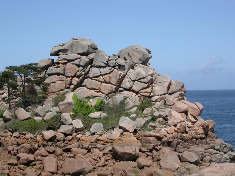
The granite chaos of Ploumanac'h in Perros-Guirec in the Côtes-d'Armor (France, 2005).
© Pierrick Graviou
Risks and spatial planning
Knowledge and prevention of coastline hazards
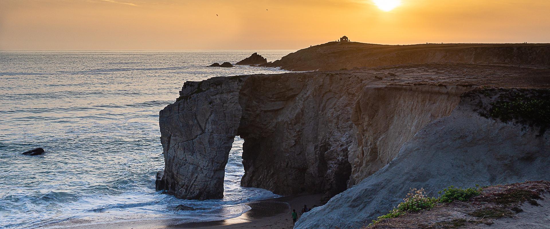
Brittany’s 2,730 km of coastline and the adjoining areas present a great diversity involving various natural hazard issues.
The phenomena of erosion and recession of the coastline concern both the cliffs and beaches. BRGM has produced the Atlas of Coastal Risk Hazards for the four Brittany departments, thus providing essential knowledge of the geomorphology and vulnerability of the coastline to erosion, the dynamics of erosion/accumulation and an inventory of storms. BRGM is setting up a tool to visualise the impact of sea level rise on the coastline, and is participating in Brittany’s strategic sea and coastline network. It also provides a predictive diagnosis of phenomena on a local scale (e.g., St Quay Portrieux).
Management of polluted environments
BRGM is the acknowledged authority in France when it comes to designing diagnostic processes and assessing processes for monitoring or rehabilitating polluted environments (industrial wasteland, former mining sites).
In Brittany, BRGM provides services at the request of industrialists and local authorities for the management of waste and polluted sites (NF X31-620): studies, assistance and inspections.
Subsurface potential for the energy transition: the development of geothermal energy
Geothermal energy, which is part of the regional policy of ecological and energy transition, is a promising alternative for private homes and small communal buildings.
BRGM Bretagne participates in communication and training activities on very low-enthalpy geothermal energy, supports local authorities in drawing up geothermal potential maps for their areas and assists them during the preliminary phases of large-scale projects.


