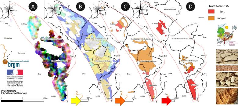
A: Gamma spectrometry survey (U/K/Th), B: New map of clay formations, C & D: Old and new risk maps of shrinkage-swelling (Rennes, 2023).
© BRGM
The need
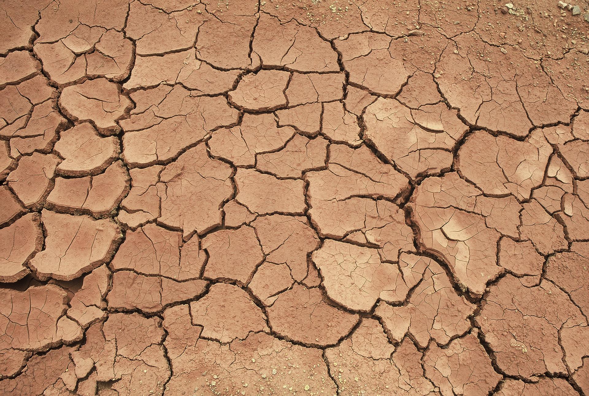
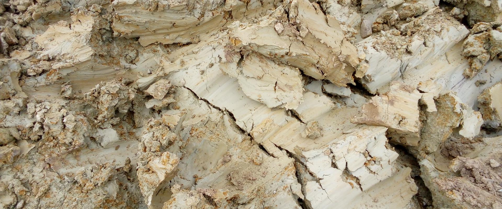
For several years, and on a recurring basis, the soil in the Greater Rennes area has shown a high level of susceptibility to shrinkage and swelling. This phenomenon is associated with a specific type of clay from the Eo-Oligocene age present in the subsoil. The area affected includes much of Brittany, and particularly the Greater Rennes area, with more than 180 of the 290 impact points registered in Brittany. A particularly high level of structural cracking can be seen in single-family homes in the south of the area, owing to climate change.
Results
To gain a better understanding of these repeated episodes of clay shrinkage and swelling in an area south of Rennes, which is relatively flat and therefore difficult to map geologically, it was decided to produce a map with higher resolution (1:10,000) using two complementary methods:
- an innovative method based on the acquisition of gamma spectrometry of the soil (natural radioactivity),
- and a second conventional method based on field mapping, with the purpose of calibrating the first method.
The combination of these two methods better characterises the risk of shrinkage-swelling, while also identifying the areas of high and medium risk with greater accuracy. Some areas of medium risk have been downgraded to low or no risk, while other areas are still identified as medium risk following the identification of pockets of clay using gamma spectrometry, subsequently confirmed by field inspections. Lastly, gamma spectrometry was also used to better mark out high-risk areas.

The innovative methodology used by BRGM allowed us to map the risk more effectively and in greater detail. The results improve our knowledge and understanding of the geological formation of our region and will be incorporated into the local intermunicipal urban planning scheme. This survey will also help us manage the right to build and to handle any claims that may be made. BRGM also facilitated discussions with the DDTM and the local population through its professionalism and the efforts made to include an educational focus in its work.
Using the results
The new high-resolution 1:10,000 map showing the shrinkage and swelling of clay soil will be included and adapted for the urban planning documents used by the Greater Rennes authorities. This study should also help local victims submit claims as part of the procedures for the recognition of natural disasters.
The partners
- Ille-et-Vilaine (35) Departmental Authority for Inland and Marine Areas (DDTM)
- Greater Rennes authorities (35)


