The need
The water in the Seiche river in Ille-et-Vilaine and its tributaries regularly diminishes to low levels. These naturally low water levels are exacerbated by a number of problems identified by EPTB Vilaine, including the modification of watercourses, drainage of agricultural land, wetland drainage and the loss of hedged farmland that results in increased run-off. In order to better target the steps being taken to restore these environments and improve natural aquifer recharge, EPTB Vilaine asked BRGM to carry out a project to identify and understand the interactions between basement aquifers, watercourses and wetlands. The ANTISEICHE project focused on the Moulins area (Ille-et-Vilaine), through which the Quincampoix, a tributary of the Seiche, flows.
Results
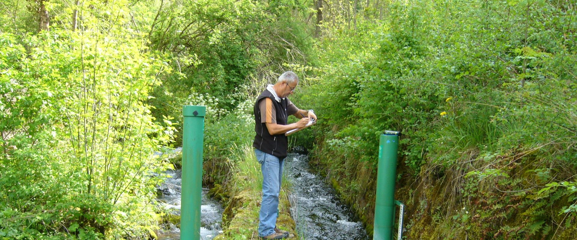
The first phase of the project involved acquiring hydrogeological data (through high and low water piezometry, physical and chemical characteristics of the water, etc.), geological data (by mapping alterites and fracturing) and hydrological data (watercourse flow rates and physico-chemical data) on the study area.
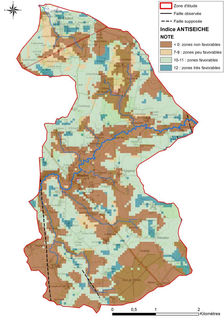
A multi-criteria analysis was then carried out on the basis of three parameters (thickness of the unsaturated zone, surface gradient and geological formations) in order to map the areas most favourable to water infiltration.
The ANTISEICHE project has also identified what essential data need to be acquired before this study can be applied to other catchment areas.
Using the results
The results of this work will be used in conjunction with data from EPTB Vilaine on the degradation of the catchment basin headwaters, as a basis for establishing a recovery programme. This mapping will help guide the steps to be taken and the choice of priority areas where the removal of drains could be considered. The steps taken will need to be monitored to assess their benefits for groundwater and watercourse flows.
Partners
- EPTB Vilaine
- Agence de l’Eau Loire-Bretagne (Loire-Brittany Water Agency)
Ille-et-Vilaine Departmental Council


