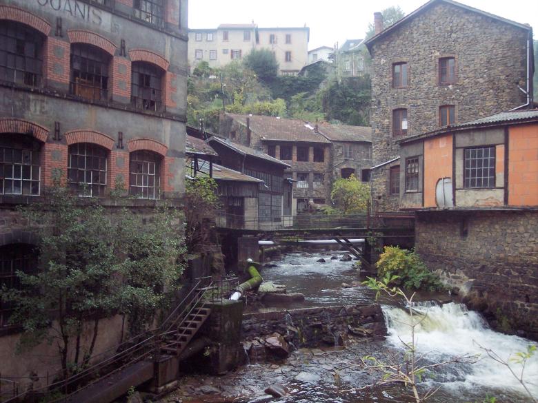
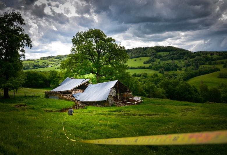
With twelve departments, the Auvergne-Rhône-Alpes region has a surface area of 70,000 km2 and is the second largest region in France in terms of GDP and population with almost 8 million inhabitants. Straddling three hydrographic basins (Adour-Garonne, Loire-Bretagne and Rhône-Méditerranée), it is crossed by the Rhône, the Saône, the upstream part of the Loire and the Allier, which are themselves connected to aquifers which react in different ways. Sixty-seven percent of its territory is mountainous (Massif Central and Alpine, southern Jura). It is a region which attracts tourists, but which is also highly developed (with hydraulic power plants, large infrastructures, etc.) and intensely exploited (with coal deposits in Auvergne, Loire and Dauphiné), and which also has highly-developed agriculture.
BRGM’s Auvergne-Rhône-Alpes division operates from two sites, close to Lyon and Clermont-Ferrand respectively, and undertakes projects to help local authorities implement public policies (at all levels of decision-making and spatial planning in the region), but also public and private research projects to meet the needs of industry. Its missions concern the acquisition of knowledge, diagnostics, creation of decision-making tools, capitalising and adding value to data with respect to groundwater, natural hazards, geothermal energy, polluted sites and soils, and the circular economy.
Partners
- Government departments and public institutions: DREAL, ARS, DDT, Prefectures, Water Agencies, ADEME.
- Local authorities: regional and departmental services, cities, municipalities, large urban conurbations, water or real estate syndicates.
- BRGM is a member of Axelera, Graie, OTHU, Eedems, the Federation of Environmental Research, IFREEMIS and Platform 21, and collaborates with local universities.
Practical information
To find out more
What's new in Auvergne-Rhône-Alpes?
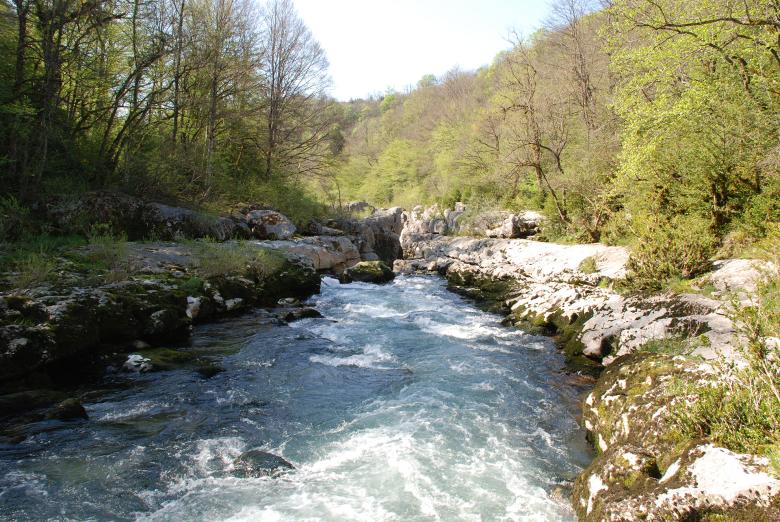
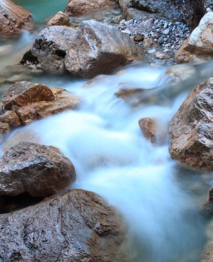
Pertes de la Valserine: the Valserine river passes under a limestone plateau and flows out into the Rhône a few kilometres further on (Bellegarde, Ain, 2007).
© BRGM - François Michel
Groundwater management: knowledge and protection of resources
Subject to anthropogenic demands (urbanisation, industrial and agricultural activities) or climatic pressures, the groundwater resources used for drinking water in the region may be affected by pollution, as well as depletion.
The activity of the regional division is strongly focused on the study, monitoring and preservation of water resources. BRGM deals with all groundwater-related issues: monitoring of aquifers, evaluation of resources (drinking, thermal or mineral water), appraisal of their quality, the search for sources of contamination and investigation of the way it is transferred. It also assesses exchanges between aquifers, rivers and wetlands, and contributes to water management in urban areas and the mapping of rainwater infiltration sites, the development of numerical models and decision-making tools. In addition, it furthers knowledge of conditions favourable to the recharge of aquifers in relation to climate change scenarios.
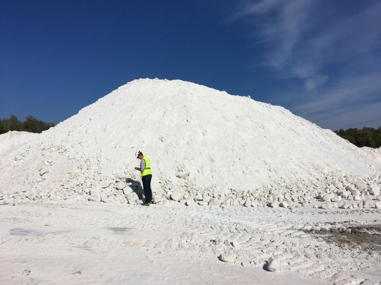
Ultra-pure kaolin used for the manufacture of ceramics, Echassières quarry (Allier, October 2018).
© BRGM - Isabelle Duhamel Achin
Geology and knowledge of the subsurface: resource mapping
The region's geological resources are in great demand to support economic development.
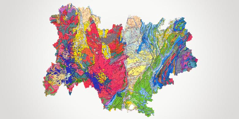
Updating knowledge and identifying new raw material resources (deposits of interest) are a priority for meeting societal needs. BRGM has produced regional maps of raw material resources through a geological inventory and is continuing to identify deposits of interest. BRGM offers a range of services that include the provision of technological facilities (for subsurface exploration, resource extraction and impact control) and ensures the dissemination of geological knowledge through smartphone applications.
Risks and spatial planning
Prevention of anthropogenic and environmental risks
Today, the need to respond to regional challenges in terms of the economy, environment and spatial planning requires having access to comprehensive and accurate knowledge of the surface and subsurface.
Sites and land formerly dedicated to industrial activities (wasteland) have become strategic land reserves, alternatives to the expansion of cities into rural areas. The recovery of this land requires a diagnosis of the pollution in order to size the remediation interventions for their reallocation. The development of underground infrastructure is another challenge for the region for the period up to 2030. The surface and subsurface can also be a source of risks and nuisances for people and property, and must be controlled and anticipated in order to move towards a circular economy (management and reuse of excavated earth).
Prevention of geological hazards
The exposure of property and people to geological hazards is a real concern throughout the region, due to the disparity of its landscape and demography.
BRGM is furthering our understanding of phenomena related to such hazards and the characterisation of the socio-economic vulnerability of populations. It provides expertise for crisis management, carries out inventory work (cavities), publishes maps related to land movements affecting the region (landslides, block falls, collapse, erosion), and assesses seismic risks.
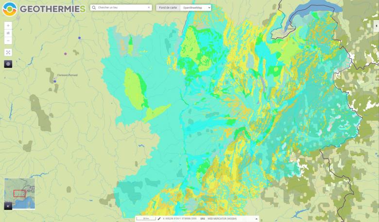
Map of geothermal potential in the former Rhône-Alpes region, published on the website geothermies.fr.
© BRGM
Subsurface potential for the energy transition: using heat from the subsurface
Geothermal energy technology has great potential to reduce greenhouse gas emissions and meet climate challenges. There are geothermal solutions for housing, the service sector and industry.
BRGM helps develop this sector (by providing information), supports local authorities in drawing up maps of the geothermal potential of their territory, assists them during the preliminary phases of projects, and monitors the exploitation of thermal resources over the long term.


