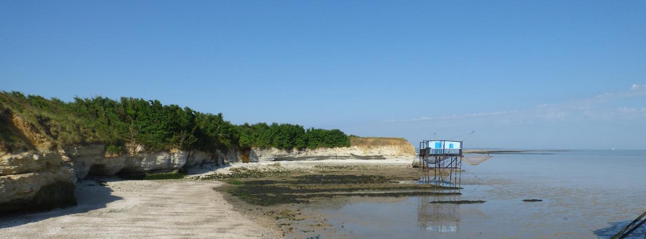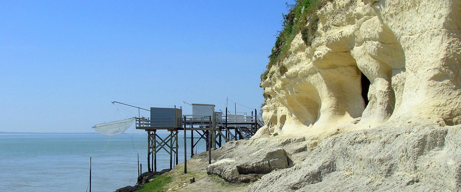
Cliffs of Ile Madame (Port-des-Barques, Charente-Maritime, 2021).
© BRGM - Nicolas Bernon
The need
The characterisation of the coastline recession hazard for Charente-Maritime in 2050 is part of the project to update the appraisal of regional vulnerability to coastal erosion, undertaken by the partners of the OCNA and the members of the public interest group, GIP Littoral, in Nouvelle-Aquitaine. The project, led by GIP Littoral, consists of two parts: the characterisation of the coastline recession hazard for the year 2050, produced by the OCNA, and the analysis of the issues raised by this phenomenon, carried out by GIP Littoral. The final goal is to provide a homogeneous diagnosis of the Nouvelle Aquitaine region and to identify the sectors most vulnerable to coastal erosion in Charente-Maritime.

Conceptual diagram of the method used to characterise the coastline recession hazard in Charente-Maritime for the year 2050.
© Observatoire de la côte de Nouvelle-Aquitaine
Results
The Charente-Maritime coastline has great environmental diversity, inherited from its geological history, but also from the variable expression of meteorological and marine forcing responsible for its current evolution. It comprises ten distinct coastal environments along the 419 kilometres of coastline studied, each of which has its own evolutionary dynamics, due to its nature, but also to its location on the department's coastline.
Of the 55% of the Charente coastline artificially modified by structures replacing the coastline (i.e., 230 km), 136 km have been identified as “‘still being there” by 2050, on the basis of criteria shared with the study's technical committee. For the 2/3 of the departmental coastline thus subject to change, the coastline recession hazard has been characterised for the most part on the basis of existing studies and data. It has led to the identification, on the scale of the department and for the year 2050, of an exposure to the coastline recession hazard for:
- almost 1,000 hectares of land, or more than 912 football pitches,
- 239 km of coastline, i.e., 57% of the Charente coastline.
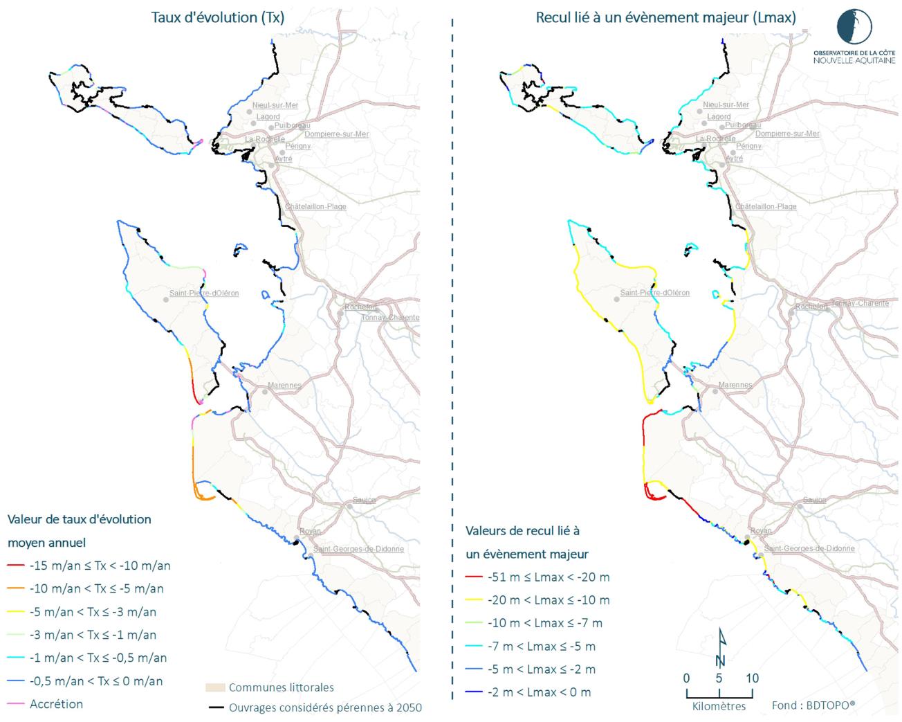
An analysis on the scale of the inter-municipalities shows a contrasted exposure of the various regions, in terms of extent but also in the way the coastline recession hazard occurs (mean annual recession, recession linked to a major event).

Values of the components of the “coastline recession” hazard (Tx and Lmax) on the coast of the Charente-Maritime department.
© Observatoire de la côte de Nouvelle-Aquitaine
Using the results
The results of this study were used by the GIP Littoral in Nouvelle-Aquitaine to carry out the second part of the project, i.e., to update the diagnosis of regional vulnerability to coastal erosion, based on an analysis of the issues at stake. They are also providing input for current or future discussions on the management of the risk of coastline recession in Charente-Maritime, such as the definition of local strategies for managing the coastal strip, or the development of sustainable, coastal, spatial planning projects.
Partners
- GIP Littoral in Nouvelle-Aquitaine
- Project technical committee: GIP Littoral in Nouvelle-Aquitaine, government departments in Nouvelle-Aquitaine, the Nouvelle-Aquitaine Region, the Département de la Charente-Maritime, Charente-Maritime coastal communities of communes and agglomerations, the Conservatoire du Littoral, Cerema, the Universities of Bordeaux and La Rochelle, and the CNRS
- Partners of the Observatoire de la côte de Nouvelle Aquitaine: European Union (ERDF), French government, Nouvelle Aquitaine Region, the Departments of Charente-Maritime, Gironde, Landes and Pyrénées-Atlantiques, the Syndicat Intercommunal du Bassin d'Arcachon (SIBA), the Office National des Forêts (ONF)


