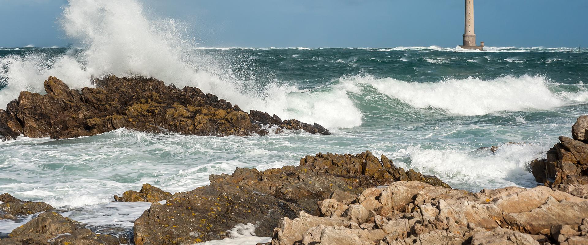
The JOHANNA project was conducted as part of a research programme financed by the MAIF Foundation and BRGM in partnership with UBO. The project analysed the damage caused by coastal flooding and storm surges, as well as the risk processes involved, based on data from Storm Johanna and Storm Xynthia.
By modelling the risk processes and drawing on data from insurance companies, the researchers were able to test the use of models for predicting the costs of future events.
JOHANNA : submersions marines, vers une prédiction des coûts des dommages
Transcription
The subject of our research for our PhD thesis was the analysis of damage to people's homes caused by costal flooding after the cyclones Johanna and Xynthia. We did this with the help of data from insurance companies, made possible by a research partnership which sought to better understand how damage is caused to homes and thus explain the costs listed in the wake of these two storms. The insurance data allowed us to study the damage and its cost. The modelling data really acted as a support to reconstruct the coastal floods in the areas we studied.
We used digital models to reconstruct these historical storms and to study the characteristics, for each damaged house, of its collapse - water height, speed of current, etc. - and to link this data, in terms of hazards, to the damage caused to the buildings.
We now create possible future-flood scenarios and evaluate the eventual costs. These evaluations will help in real-life flood-prevention decision-making.
To have the most realistic models possible, we used dynamic forcing, which took into account the timeline of the various events, variations in water levels and waves. We worked in very high resolution, to a scale of one meter, so as to integrate the various buildings in the studied zones. We then compared our results with in-the-field observations made after the events. Scientists went out and recorded data on the traces of the flooding, which we compared to our models and found we had excellent digital results completely in line with their observations.
Concretely, we now understand much better which elements were particularly susceptible and vulnerable to coastal flooding. For example, recently built houses along the seafront, with steel-reinforced plaster walls were very vulnerable to saltwater flooding. So advising people not to use these materials in the construction of coastal homes is a very clear result. As for the prevention of natural risks actually carried out in the field, we have developed tools which can now evaluate the benefits of certain types of prevention so the right choices can be made to avoid extreme damage in the future.


