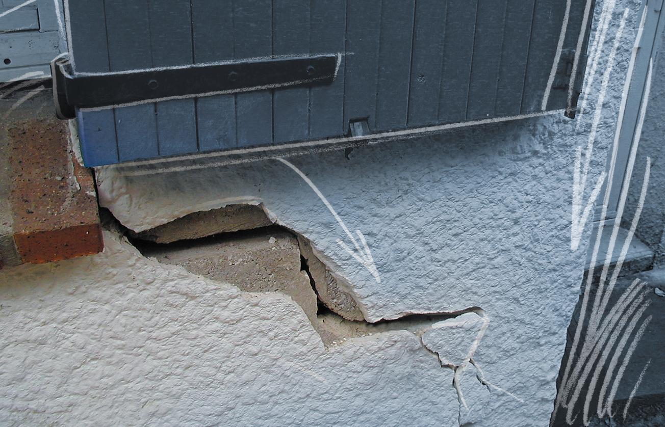
Cracks in a house due to clay shrinking and swelling (Pas-de-Calais, 2003)
© BRGM - P. Burchi

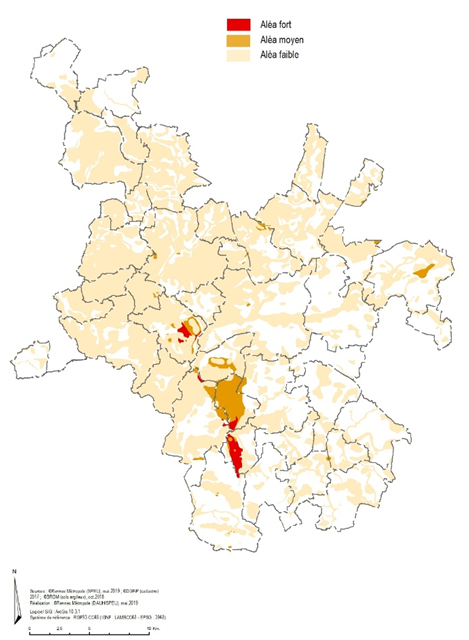
Vulnerability of the Rennes Métropole territory to clay shrinkage and swelling: hazard map drawn up for the Ille-et-Vilaine département.
© BRGM
The shrinkage and swelling of clays causes considerable damage every year in France; it can be compensated as a natural disaster. It is therefore necessary to characterise it precisely.
In Ille-et-Vilaine, two-thirds of the département’s surface is exposed to this phenomenon, at low (61% of the area), medium (4% of the area) or high (less than 1% of the area) levels. During May and June 2021, BRGM teams will carry out a field campaign in twenty communes in the Rennes metropolitan area, in order to produce a precise map of the nature of the clays and the shrink-swell phenomenon.
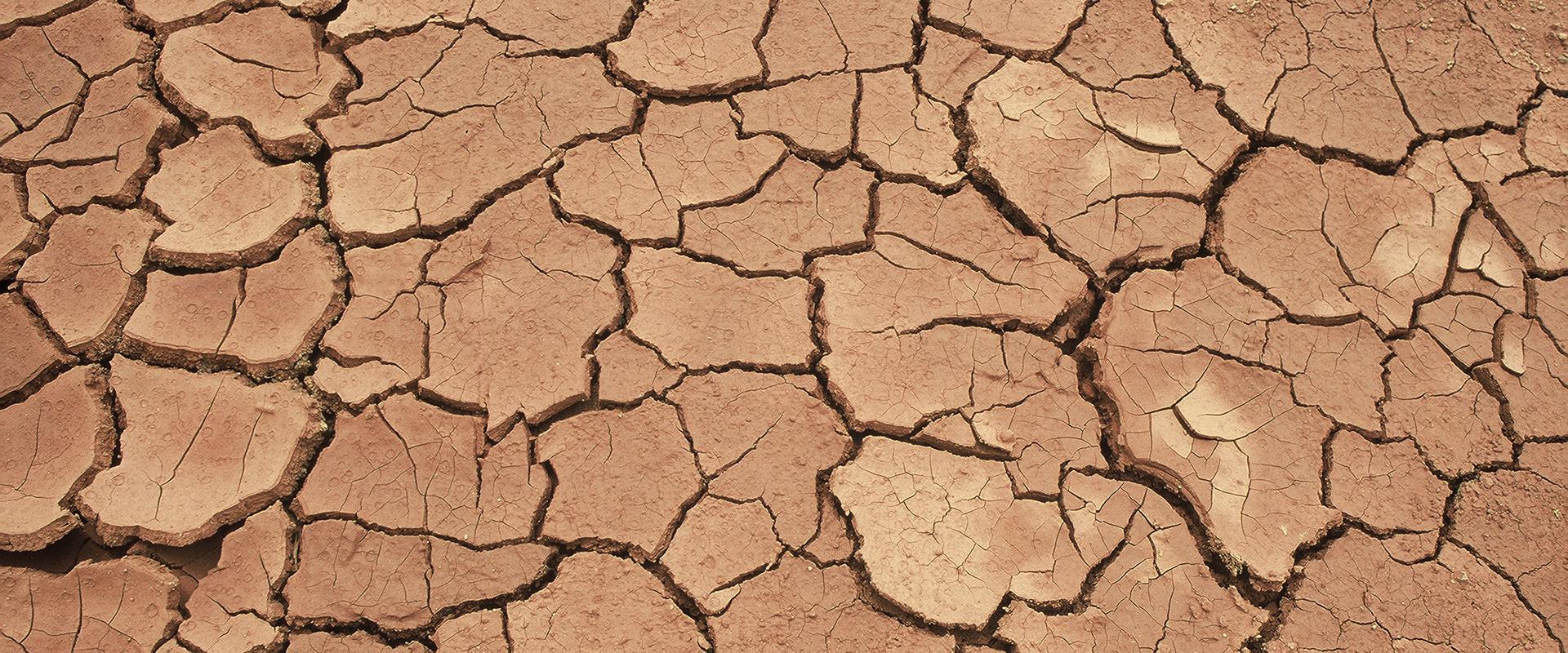
In sectors of the Rennes metropolitan area, there are clays, particularly of the smectite type, which swell in the presence of water and shrink in the event of drought. When buildings are built on these formations, the alteration of these clays can cause damage to the structure: cracks, distortion of window frames, detachment of annex buildings, rupturing of pipes.
Objective: to determine, for each plot, those sectors liable to suffer damage from a strong and average hazard
While there is already a departmental map of this geological risk (available on the Géorisques website), it is not accurate enough to describe the phenomenon at the communal and plot level. This is why the State services, through the Ille-et-Vilaine Departmental authority for inland and marine areas, Rennes Métropole and BRGM have joined forces to carry out a study to determine plot by plot, those sectors vulnerable to a high and medium risk. This study is co-financed up to 60% by the State, 20% by Rennes Métropole and 20% by BRGM.
In order to obtain accurate data on the nature of the ground, a team of geophysicists and geologists from BRGM will be visiting certain sectors of the communes of Rennes Métropole during the second half of May and the first half of June.
The following municipalities are concerned: Le Rheu, Chartres-de-Bretagne, Bruz, Laillé, Pont-Péan, Saint-Gilles, Pacé, L'Hermitage, Montgermont, Vezin-le-Coquet, Saint-Grégoire, Betton, Saint-Sulpice-La-Forêt, Thorigné-Fouillard, Acigné, Rennes, Saint-Jacques-de-la-Lande, Noyal-Chatillon-sur-Seiche, Bourgbarré, and Saint-Armel
Two types of measurements will be made:
- the first will be to determine the natural radiation of the soil in place using a portable device. These measures are completely harmless, quick, and do not require any special ground manoeuvres.
- the second will require sampling to a depth of a few centimetres. The holes will be filled immediately and the samples sent to the laboratory for clay analysis.
The data collected will be used to produce a precise map of the shrinkage-swelling of clay.
Results expected by mid-2022
The results are expected by mid-2022. The new hazard maps will be available in a public report from BRGM, published on its website. Information leaflets on the phenomenon of clay shrinkage and swelling, recommendations and construction measures will also be made available to the population by Rennes Métropole.


