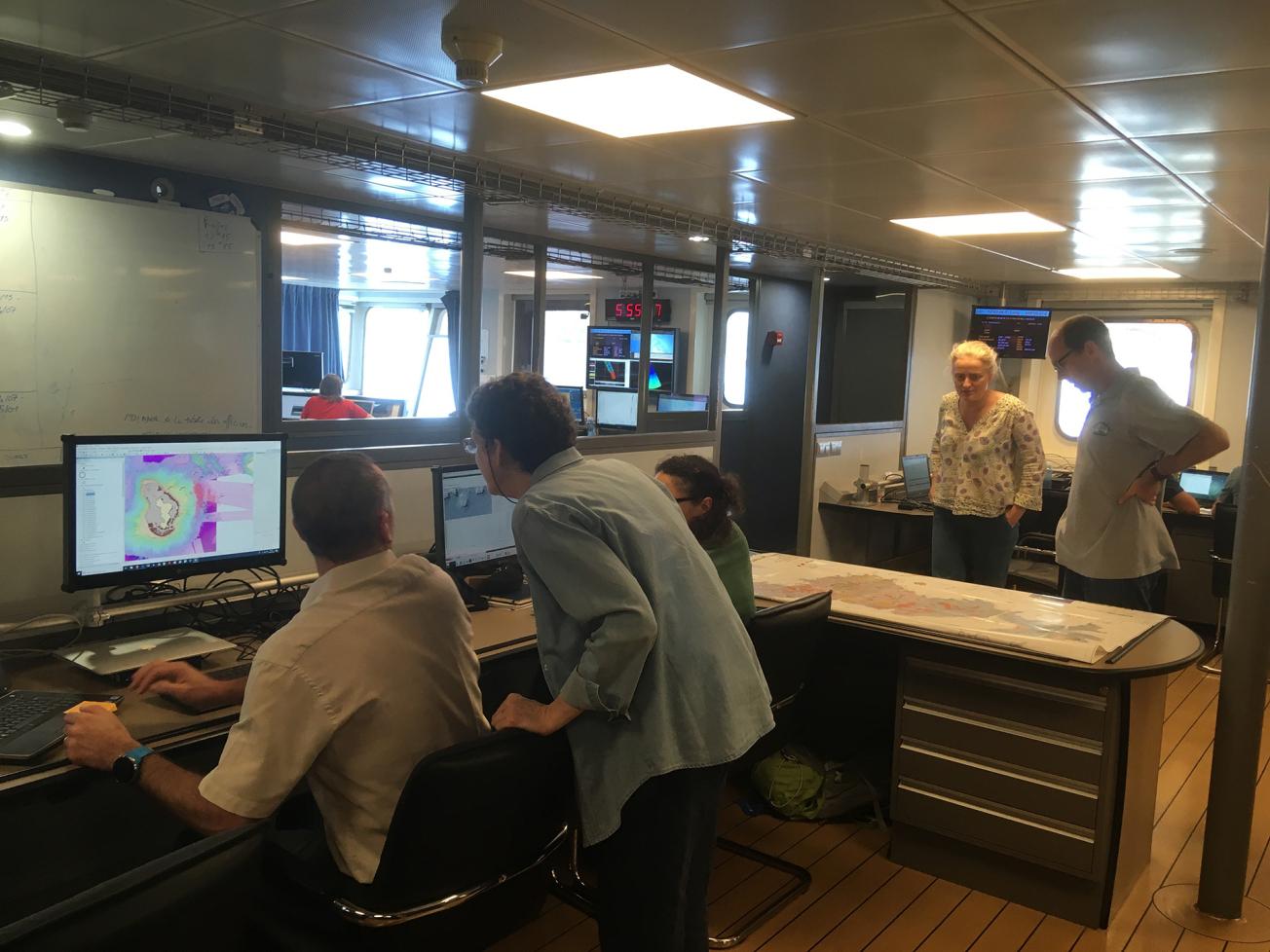
Three BRGM researchers participated in the seagoing measurement campaign on board the Marion-Dufresne oceanographic vessel.
© BRGM
Since 10 May 2018, over 1800 tremors of magnitude 3.5 and more have been recorded around Mayotte, one of which was the strongest ever recorded in the Comoros zone. Studies of the different hypotheses and observations suggest that a geological phenomenon involving both a seismic sequence and a volcanic episode is under way.
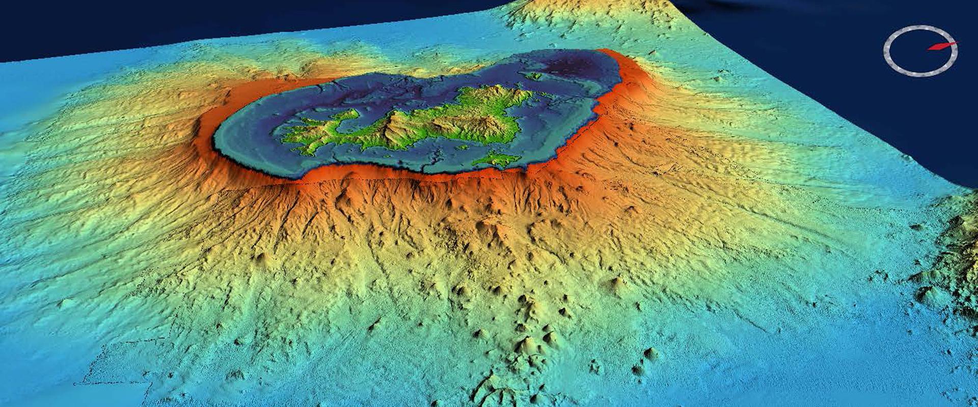
An oceanographic campaign aboard the Marion-Dufresne research ship, directed by the IPGP, has confirmed the presence of a volcanic edifice 50 km to the east of Mayotte at a depth of 3 500 metres. The edifice is 4 to 5 km in diameter at its base and 800 m in height.
The discovery of this new undersea volcano has brought a new understanding of the tremors sensed over the last year.
Earthquakes: continuing alert for the BRGM in Mayotte
Since the start of this seismic crisis in Mayotte, the BRGM has been investigating the phenomenon and taking part in crisis management. BRGM scientists are involved in the seismic activity observation campaign and took part in the installation of measurement instruments on the island in March 2019. From 6 to 15 May 2019, three BRGM researchers worked on board the Marion-Dufresne oceanographic research vessel, contributing to the discovery of the new volcano.
The BRGM will be continuing its work to improve the entire measurement, data transmission and seismological interpretation system. This involves developing a system to integrate new data from the recently deployed instruments and optimising data processing in order to speed up the production of magnitude estimations and the location of the tremors detected.
As the only public geoscience organisation with an agency in Mayotte, the BRGM has been monitoring seismic activity continuously since the start of the phenomenon, using three seismic stations located on the island. This ensures that government agencies receive essential information to support crisis management. About a hundred situation reports have already been communicated to the prefecture and published on the BRGM's web site to update the public.

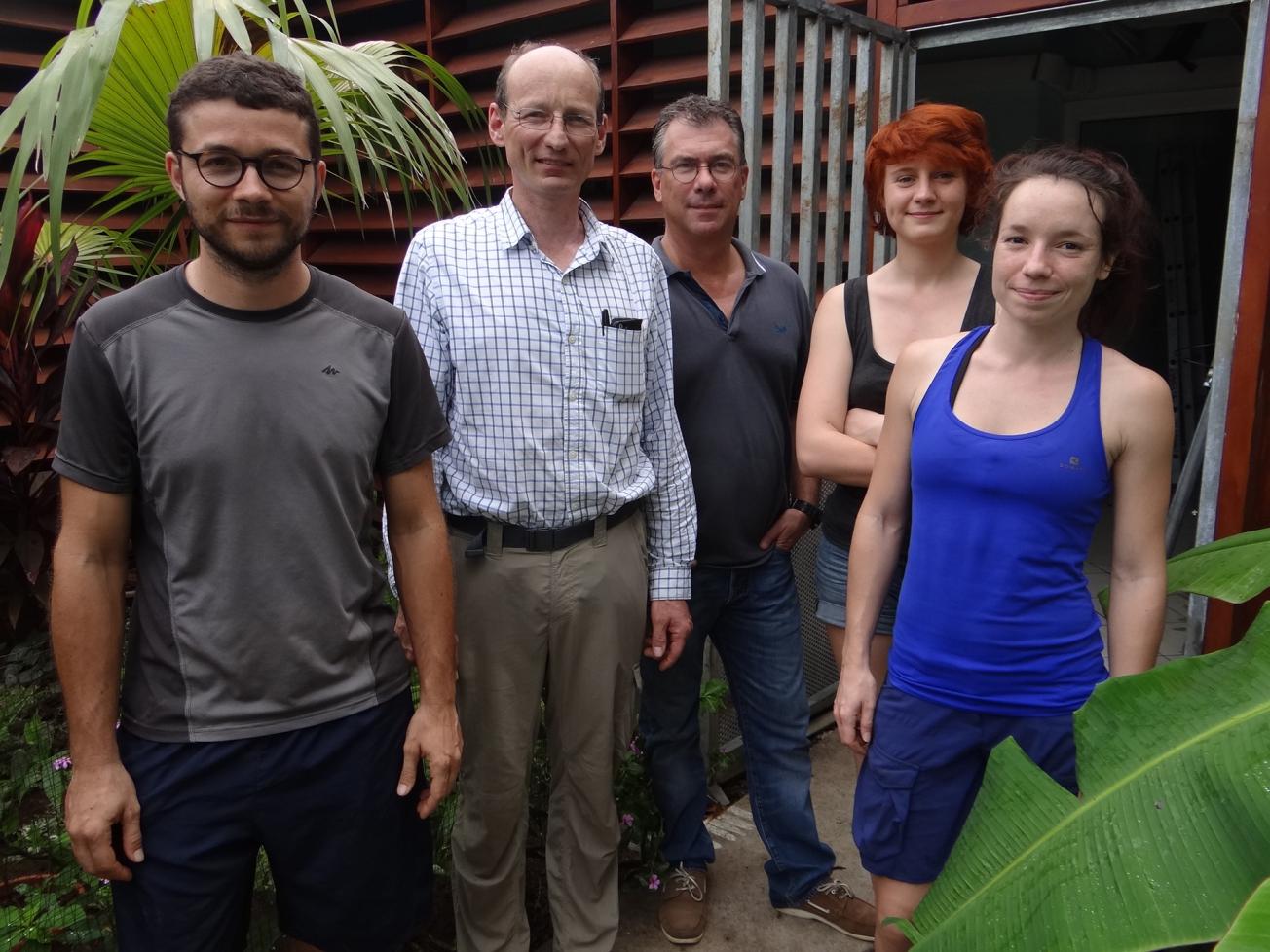
The team in charge of installing the measurement instruments in Mayotte from 4 to 8 March 2019. Grégoire Dectot (BRGM), Jérome Van der Woerd (IPGS/EOST), Frédéric Tronel (BRGM), Céleste Broucke (IPGS/EOST), Alison Colombain (BRGM).
© BRGM
A wide array of instruments deployed to improve seismic network performance
In the last few months, the scientific community has joined forces to understand the phenomenon and provide answers to the questions it continues to raise. On 23 February 2019, the CNRS, with the support of the IPGP, IPGS, BRGM, IGN, Ifremer and the Ministry for the ecological and inclusive transition launched an observation campaign in Mayotte involving four major operations on land (Mayotte and Glorioso Islands) and at sea.
In March 2019, with the BRGM's support, the IPGS installed three seismological stations on Mayotte, three GPS stations and two accelerometric stations that transmit their data in real time. Upstream, the BRGM had already been involved in locating appropriate sites in the municipalities of Mtsamboro, Kani-Kéli and Pamandzi.
The information produced by these stations supplements the data from pre-existing stations and is more accurate thanks to more numerous and more evenly distributed sensors. These data were made available to the teams working on board the Marion-Dufresne to help them reposition their instruments for the seagoing measurement campaign from 6 to 15 May 2019.
The Marion-Dufresne oceanographic campaign was conducted by the CNRS with the BRGM, the Paris Institute of Planetary Physics (IPGP), IFREMER, the University of La Réunion, the Strasbourg Institute of Planetary Physics (IPGS), the French national institute for geographic and forestry information (IGN), the École normale supérieure (ENS), the French Space Centre (CNES) and the French naval hydrographic and oceanographic service (SHOM).


