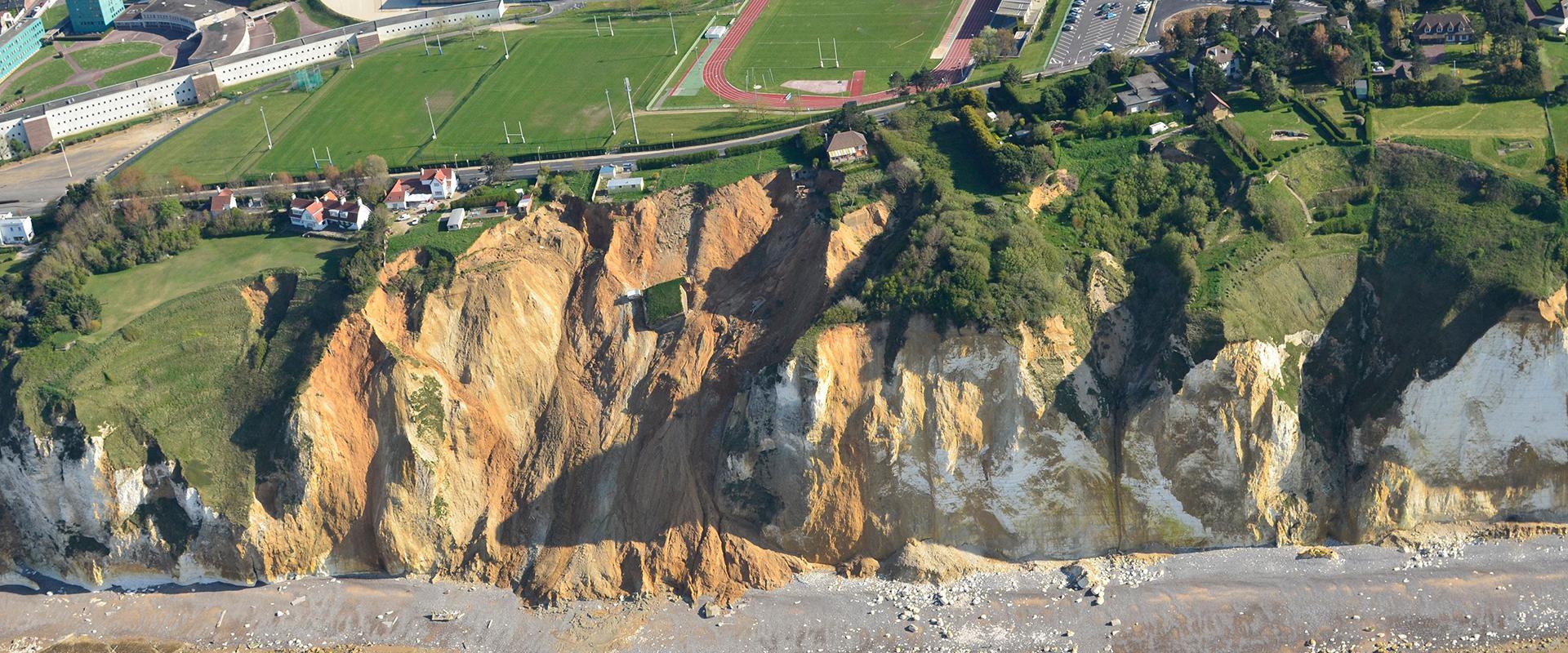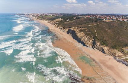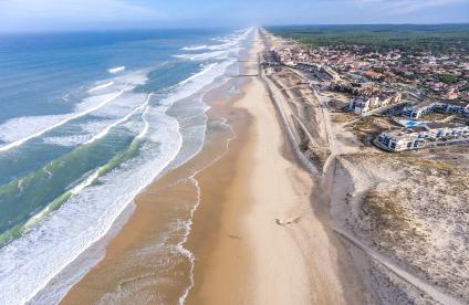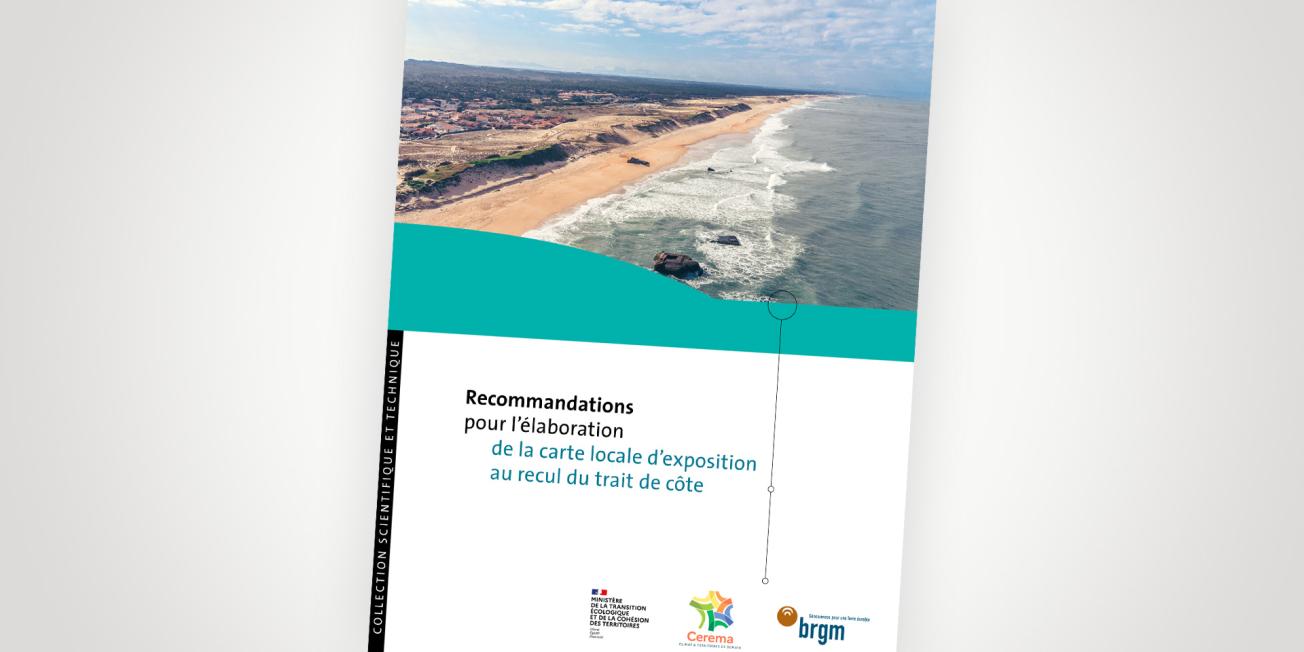
Cover of the recommendations document for the elaboration of the local coastline recession exposure map.
© BRGM / Cerema
The entire coastline of mainland France is receding, due to storms or erosion. The rise in sea level due to climate change will further aggravate these phenomena.
This is why the so-called “Climate and Resilience” Act of 22 August 2021 includes an important section on coastline recession, which aims to encourage coastal regions to adapt their planning policies accordingly. In particular, it requires the municipalities concerned (listed by decree) to draw up a local vulnerability map for the areas at risk.
The Ministry of Ecological Transition and Regional Cohesion called on the technical and scientific expertise of BRGM and Cerema to provide local authorities with recommendations for drawing up the maps as legally required.
Coastline recession and the “Climate and Resilience” Act
The need for regions to adapt
French coasts are very attractive due to their natural resources and beauty, and their demography is growing. They are thus increasingly the focus of environmental, social and economic issues in an evolving context marked by continental, marine, atmospheric and human effects. Added to this are the effects of climate change and in particular the rise in mean sea level, which increases the frequency and amplitude of natural phenomena.
Local authorities need the latest scientific knowledge to take into account the evolution of the coastline so that they can adapt their coastal development policies to take coastline recession, a phenomenon that is expected to accelerate, fully into account.
Anticipatory mapping
Act no. 2021-1104 of 22 August 2021, known as the “Climate and Resilience” Act, lays the basis for implementing a policy of anticipation and adaptation to the changing coastline and its erosion, accelerated by climate change. This requires the implementation of a local strategy for managing the coastline, including the drawing up of a local evolution map and its integration into urban planning documents.
The aim of these maps is to delimit the areas exposed to coastline recession in the medium and long term (30 and 100 years).
Recommendations for local authorities
The recommendations for constructing a local coastline-recession exposure map are intended to be methodological guidelines for municipalities concerning the main issues at stake and what they should do to obtain a relevant coastline recession projection map adapted to the local context.
Partners
This document is the result of work carried out jointly by BRGM and Cerema, under the supervision of the Ministry of Ecological Transition and Regional Cohesion (DGALN and DGPR). The document was submitted to associations of elected representatives (ANEL, AMF) and the Conservatoire des espaces littoraux et des rivages lacustres (Conservatory of sea and river shoreline spaces) for their opinions.

