Cover of the data sheet.
© BRGM
The Directive relies heavily on the technical possibilities provided by geospatial interoperability. Using standard protocols, this involves disseminating geographical and mapping data and sharing them on the Internet. The purpose is to provide citizens, local authorities and companies with easy access to a large amount of environmental information (surface, subsurface, relief, landscape, river systems, urban planning, high-risk areas, weather forecasts, etc.) needed for their everyday tasks.
The implementation of INSPIRE and the collection of BRGM databases that have long been compatible and can be combined with those of other large bodies will jointly strengthen the capacities of these players to provide assistance for decision making. They are essential for obtaining all the available facts required for a construction or development project.
Decision makers and citizens all need improved access to information
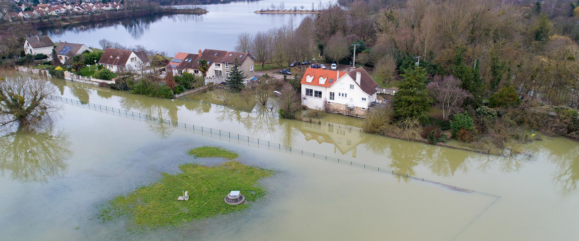
Whether building a house, developing a business estate, locating a factory or a commercial facility in a sustainable manner, etc., citizens and decision makers of the 27 countries of the European Union wonder every day how to choose the most secure and pleasant location for implementing a project. How can they be sure that the site will not be flooded when rivers are in spate or when the water table rises? How can they find out whether or not there are numerous underground cavities beneath the planned site? How can they be sure that the ground will not “shift”? How can they check whether the site was previously occupied by polluting industries?
There are answers available to all these questions and to all those concerning the environment or spatial planning. They can be found in particular in the databases produced by BRGM that are accessible from the BRGM, InfoTerre, Géocatalogue or Géorapports websites. In compliance with international interoperability standards which BRGM has observed for several years, these data can also be accessed from other websites and portals in France, in Europe and in any other place in the world. For example, geological data can be found on Google Earth or Worldwind (NASA) virtual globes. Here, interoperability goes hand-in-hand with multiple access points and this is an excellent example of the concept of openness.


