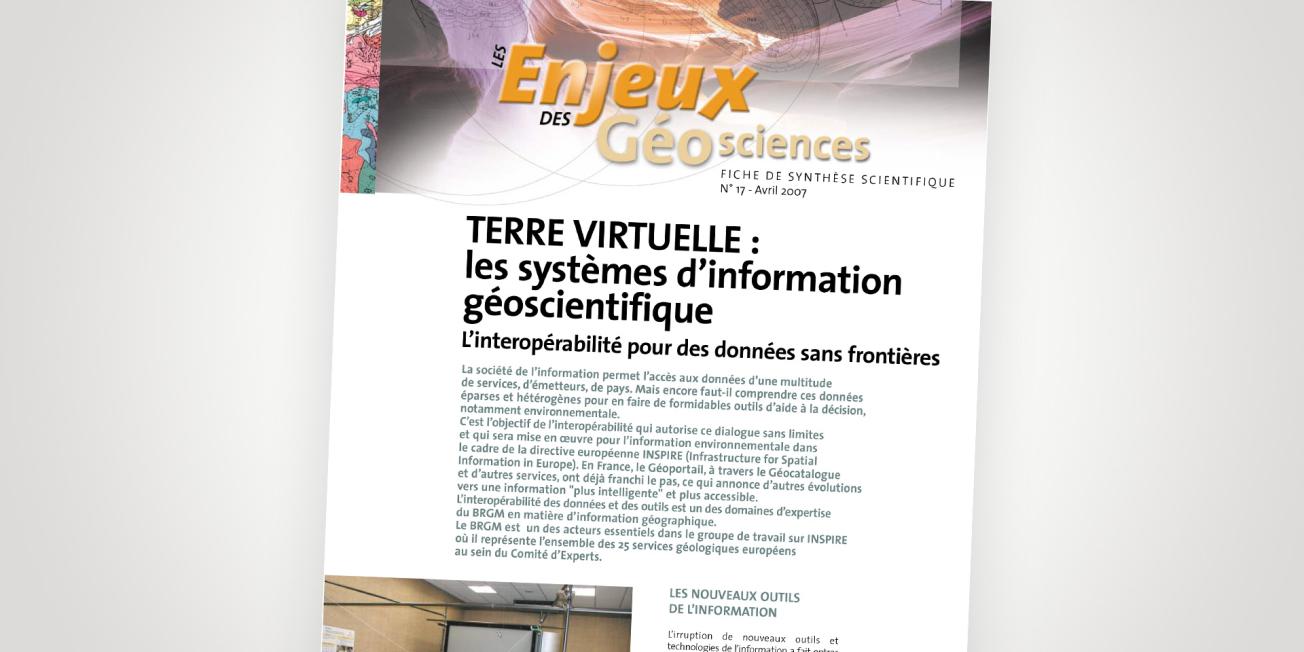
Cover of the thematic file.
© BRGM
In France, the Géoportail platform, Géocatalogue and other services have already developed their interoperability, with a view to providing "smarter" and more accessible information. Indeed, developing the interoperability of data and tools is one of BRGM's areas of expertise in terms of geographical information. BRGM is one of the key players in the INSPIRE working group, where it represents all 25 European Geological Surveys on the Committee of Experts.
New information tools
The advent of new information tools and technologies has taken science into a new era. Today, everyone wants immediate, comprehensive information at the click of a button. However, making information globally usable and accessible pre-supposes that we can all talk to and understand each other, and that the data available is therefore "interoperable". This requires implementing appropriate procedures for organising, structuring and disseminating information from thousands of sources and systems (PC, Mac, Linux computers, Oracle, Excel, Access, etc.). All the data can obviously not be incorporated into a single, integrated system. This would demand a colossal amount of work and not be accepted by many players.
However, the concept of interoperability involves providing each producer of information with a dialogue protocol so that their data can be understood and combined with that of others. This has meant developing a coherent architecture to overcome the constraints of heterogeneous formats using new technologies. This system allows data producers who adopt the communication protocols defined by the Open Geospatial Consortium (OGC) and ISO to retain their freedom and keep control of their information.


