Cover of the thematic file.
© BRGM
With several thousand kilometres of sandy coastline or cliffs and a "coastline" that moves, shifts and changes the landscape, France is vulnerable to coastal erosion.
The silting up of bays and harbours, the erosion or silting up of certain coasts and collapsing cliffs can have important consequences in terms of the safety, economy and daily life of local residents. However, erosion is a natural phenomenon caused by the sea, rain, frost or wind and is difficult to fight. To this must be added anthropic structures: watershed management or the construction of dams, harbours or dykes can accelerate, aggravate or modify this natural phenomenon.
Anticipating collapses
The State, local authorities and all developers need expert advice, particularly in order to apply the precautionary principle. While erosion cannot be stopped entirely, the consequences can nevertheless be studied, the impact of human developments can be calculated, and risks and threats can be prevented. In some areas, cliffs represent significant potential risks.
The European ROCC (Risks of Cliff Collapse) programme has enabled the study of 140 kilometres of coastline and chalk cliffs in Upper Normandy and Picardy and identification of the most vulnerable areas, such as in Criel-sur-Mer.
It was in this small village in the Pays de Caux that BRGM launched the French part of the European PROTECT (Prediction of the Erosion of Cliffed Terrains) programme in partnership with INERIS (National Institute for the Industrial Environment and Risks) and the Seine-Maritime DDE. According to Jean-Christophe Gourry, head of the programme at BRGM, the aim is to "monitor and detect the warning signs of collapses and understand the triggering factors" with the aim of creating early warning tools and monitoring the most dangerous cliffs.
Developing tools
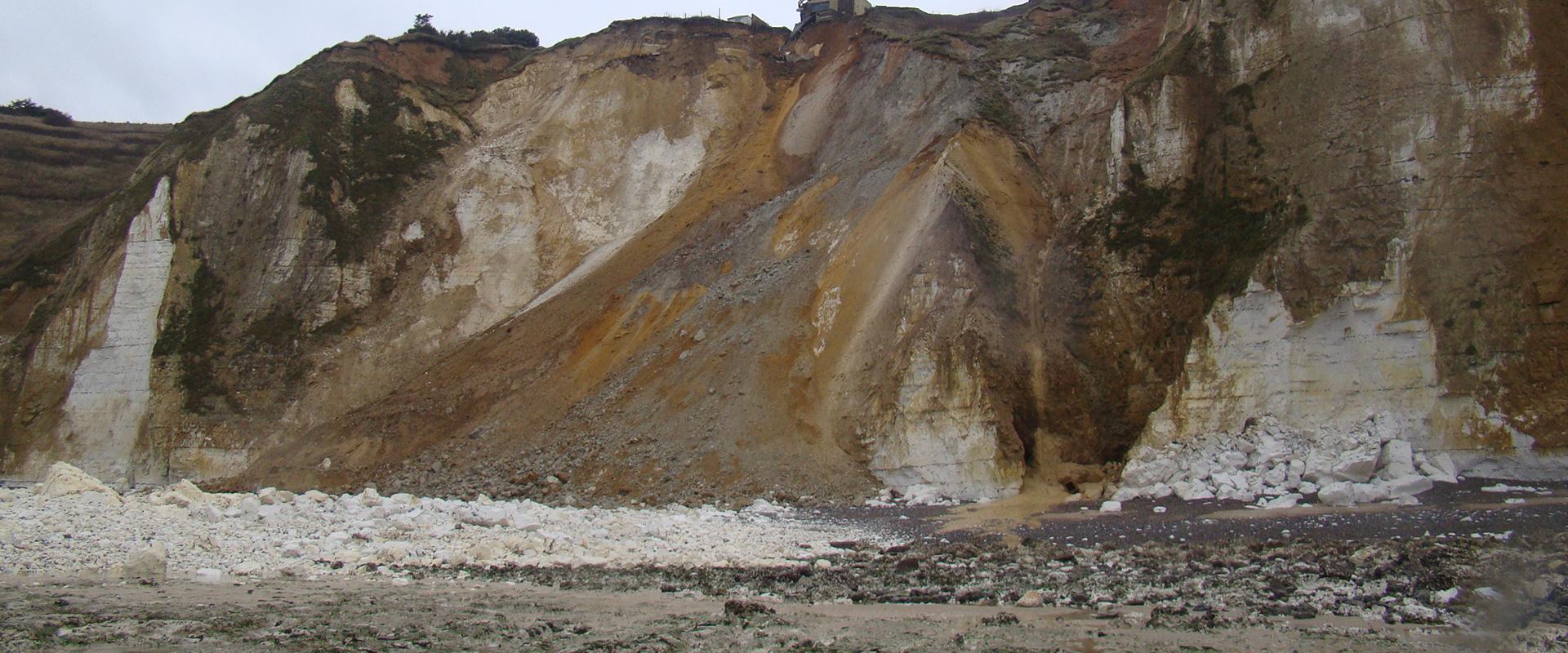
On 23 June 2002, 2,000 m3 of cliffs collapsed in the centre of the area being investigated, thus validating the instrumentation approach. Indeed, 15 days before the cliff fall, BRGM recorded a slight increase in vertical pressure at the foot of the cliff and 18 hours before the disaster, the energy released by the cracking was 10 times greater than that of the signals of the previous days.
These initial results may therefore suggest that there are many early signs of subsidence that can be detected at a very early stage, which may make it possible to predict them and thus trigger appropriate alerts. Once validated, these results could be applied to other regions and on other types of cliffs such as in the Basque Country between Hendaye and Biarritz, on the coastal cliffs of Reunion Island or in the creeks between Marseille and La Ciotat where the highest cliffs in France can be found.


