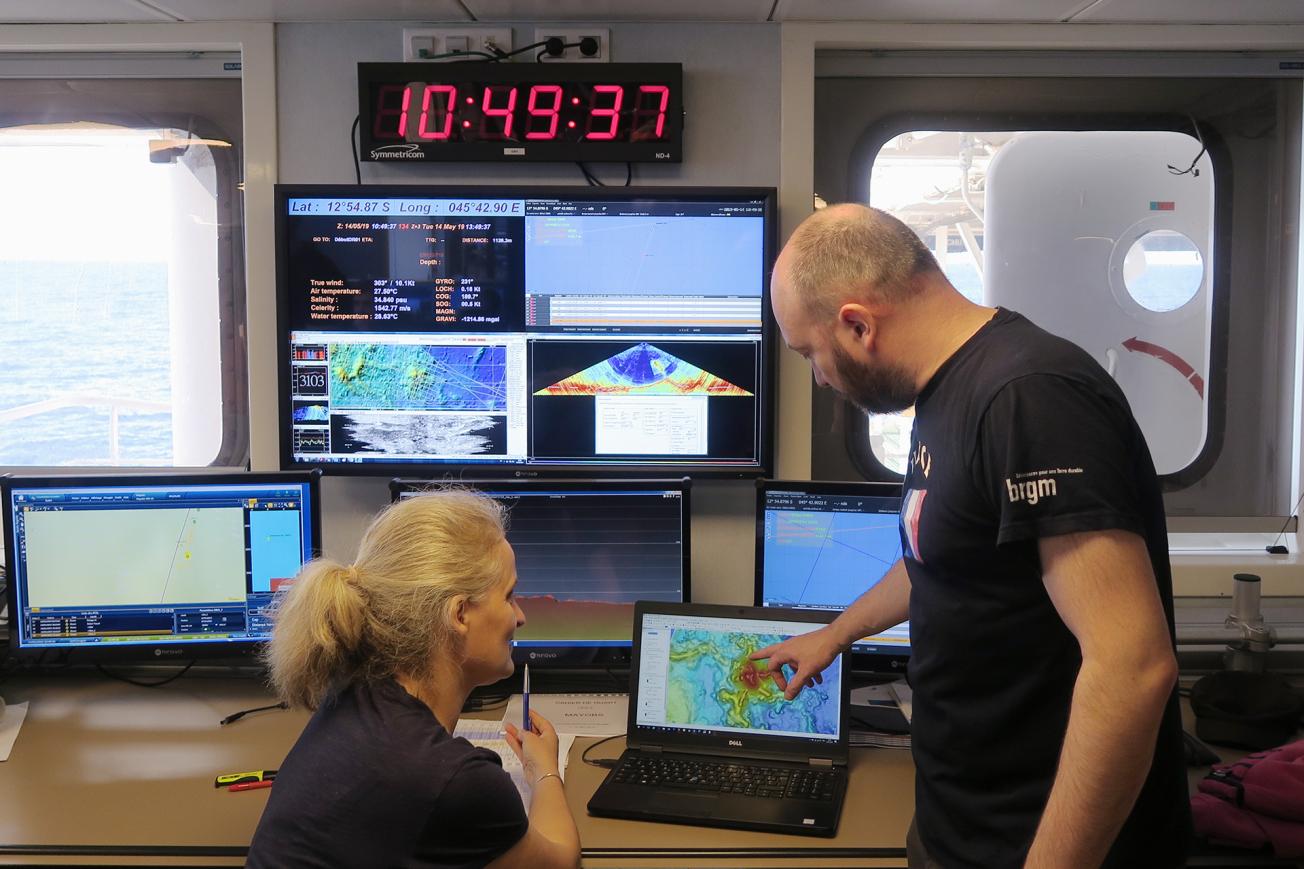
On board the vessel Marion Dufresne, a team of scientists (from BRGM, CNRS, IFREMER and IPGP) is deploying observation instruments and studying the seabed off the coast of Mayotte following a cluster of earthquakes. They discovered a new underwater volcano (Mayotte, May 2019).
© BRGM - Isabelle Thinon
Let's go back two years to 10 May 2018. That day, the earth began to shake around the island of Mayotte, located between Mozambique and Madagascar. A succession of earthquakes was detected by local seismic stations. Five days later, the population felt a stronger tremor, with a moment magnitude of 5.9. This was the largest earthquake ever recorded in the area.
From day one, the French Geological Survey (BRGM) has been monitoring this exceptional crisis. Day after day, the number of earthquakes increased. The most powerful ones were felt on the island, causing concern among the population.
A moving island and the magma hypothesis
One of the first scenarios evoked to explain this crisis was based on the volcanic origin of the Comoros and Mayotte: according to this, the swarm of earthquakes was caused by the fracturing of the Earth’s crust and the ejection of magmatic liquid from an over-pressured magmatic chamber towards the surface.
After two months of crisis, in July 2018 seismologists noted a lull in activity, which lasted another two months and then turned out to be a simple transition phase.
Organising to deal with the threat
Starting in June 2018, the Earth science community and national and local authorities began developing a strategy to improve the network of seismic and displacement monitoring stations on the island. They programmed oceanographic campaigns to explore the area in which the swarms had occurred as well as adjacent regions. BRGM thus proposed the Sismaore regional exploration campaign and the Coyotes research project.


