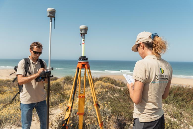
Employees from the Nouvelle-Aquitaine Coastal Observatory in the field.
© Observatoire de la côte de Nouvelle-Aquitaine / Com’ by AVM
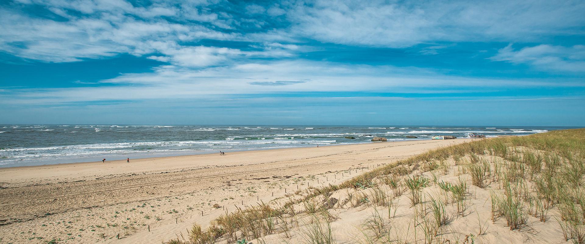
In mainland France, over 25% of the coastline is at risk from coastal erosion, while 1.4 million people are thought to be exposed to coastal flooding. The coastline of Nouvelle-Aquitaine is 839 km long and one of the least developed in France. However, it is also the coastline most affected by erosion in mainland France, after the north-west.
Coastal recession is a natural phenomenon that has been active for thousands of years along the Atlantic coast, characterised by the mass displacement of sediment by waves, winds and tides.
By 2050, the sandy coastline of the Gironde and Landes region could lose an average of 50 metres, and the rocky coastline of the Basque country 27 metres. In Charente-Maritime, on the Pointe de Gatseau at the southern tip of Ile d'Oléron, the sea nibbles away some twenty metres on average every year. It is one of the places in Europe where the coastline is retreating most rapidly.
Observing coastlines, supporting public policy
Founded in 1996, the Nouvelle-Aquitaine Coastal Observatory (OCNA) was set up to provide coastal stakeholders with a tool to assist in observation, decision-making and knowledge-sharing for the management and prevention of coastal risks. The aim is to support efforts to adapt to the receding coastline.
Could we enlist the help of walkers to provide information on changes? Along the Nouvelle-Aquitaine coastline, small yellow metal signs have been placed on certain beaches, encouraging passers-by to give a moment of their time to monitoring the coastline.
These observation posts are part of CoastSnap Nouvelle-Aquitaine, a new participatory monitoring system set up in autumn 2021. The idea behind this extremely simple system is for people to take photos on their phones from the same fixed point.
The photos can then be sent via a number of channels (online form, email or app), to feed a large database of images that will be used to better understand and analyse changes to the coastline on different timescales.
Over 3,000 photos received
Three pilot sites along the Nouvelle-Aquitaine coastline have been selected for the installation of an observation post. One in Lacanau (Gironde), the second in Capbreton (Landes) and the third in Saint-Jean-de-Luz (Pyrénées-Atlantiques). Each site is located in a different département of the former Aquitaine region, and each has its own environment and erosion problems. The aim is to create new observation stations in the region over the coming months, particularly in Charente-Maritime.
In terms of results, an average of fifteen photos a week are sent in from each of the three sites, bringing the total to over 3,000 by the end of May 2023.
A better understanding of coastal dynamics
The advantage of having frequent (almost daily) images is that we can identify the causes of any changes to the sites on different scales, from the scale of a storm to the scale of several years.
This monitoring gives scientists a clearer understanding of coastal dynamics and how they are linked to weather and sea conditions, while also providing managers with high-frequency indicators on the state of the sites.
In this way, CoastSnap supports the strategies put in place by local authorities to combat erosion.


