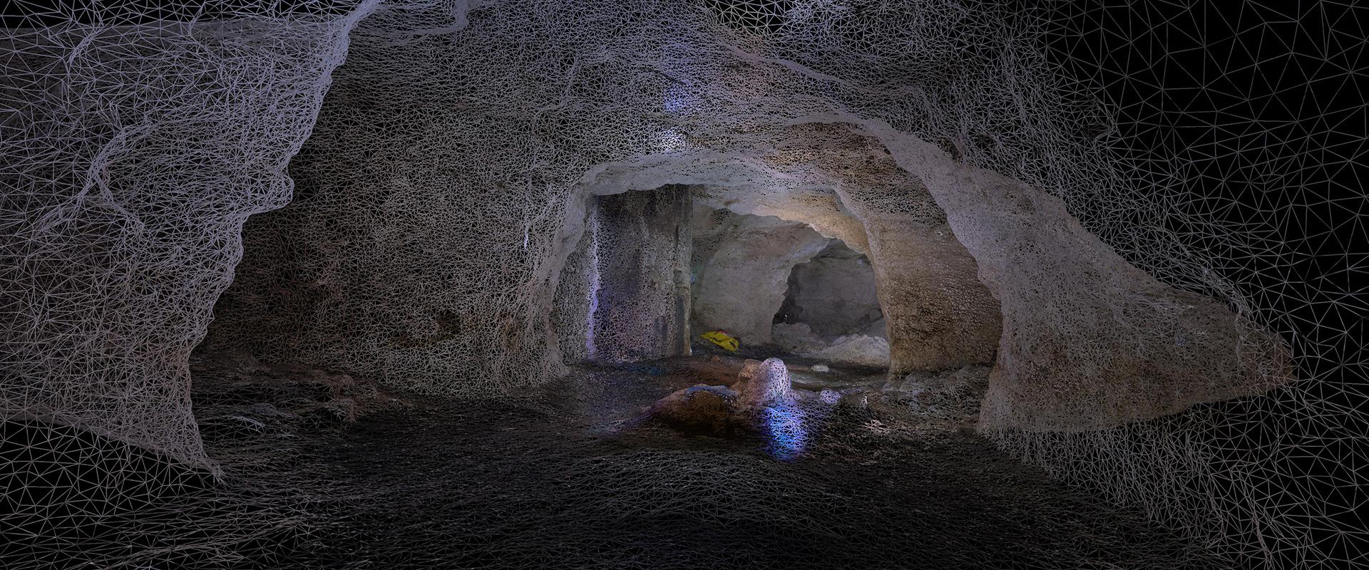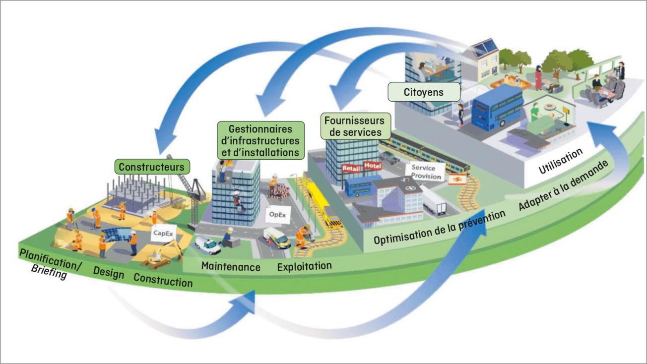
BIM helps address the challenges faced by sustainable cities.
© Source : Centre for Digital Built Britain (CDBB)
Building Information Modelling (BIM), a well-known concept in the building industry, has been around for about a decade. The aim is to create a digital model describing all aspects of a building, including its 3D geometrical shapes and structure, attributes of constituent parts and equipment, and even reflecting the building’s behaviour. Building information models are standard computer files, using open languages, and allow us to monitor building changes, from design to maintenance.
The extension of BIM to infrastructure now means that its principles can be applied to roads, bridges, railways, tunnels and other built assets. The use of digital twins similar to those used in the construction sector aims to structure and share all knowledge on a built asset across stakeholders, designers, builders and maintenance operators to improve its management throughout the asset’s life cycle.
A strong link with the underground environment
Since 2016, BRGM has been a partner in the MINnD National Project for the modelling of interoperable information for sustainable infrastructure. In short, the project’s objective is to manage and organise the information to be shared throughout the infrastructure life cycle (design, construction, operation and maintenance), develop the tools needed to integrate BIM processes and work methods, and help implement them. More broadly, we are seeking to facilitate the digital transformation in infrastructure development and sustainable planning.
BRGM provides its expertise on the subsurface (e.g. geology, hydrogeology, geotechnics and management of excavated materials) and on information systems. More specifically, it is responsible for coordinating research on data description and standardisation for the modelling of the underground environment. While BIM is well understood for buildings, its use for infrastructure requires adjustments given that the structures are generally larger and linear, and need to be considered in the context of the underground environment, which is where BRGM’s expertise comes into play. All these aspects are related to the environment. The integration of environmental considerations in the design, building and operation of sustainable infrastructure requires expertise in hydrogeology, materials science, and geoscience in a broader sense.
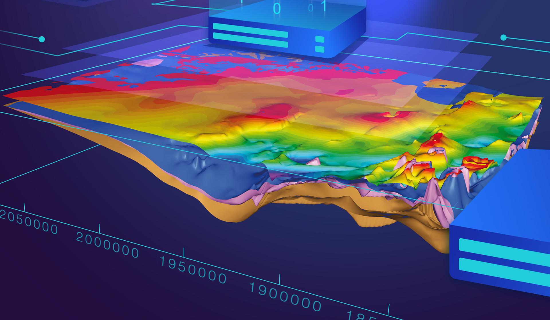
While BIM is well understood for buildings, its use for infrastructure requires adjustments given that the structures are generally larger and linear, and need to be considered in the context of the underground environment, which is where BRGM’s expertise comes into play.
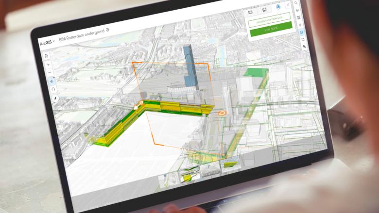
Digital twin of the city of Rotterdam (building and underground infrastructure), a requirement in the Netherlands since January 2018.
© Ministry bzk Program Bureau Bro
The standardisation goal
Standardisation has been the primary purpose of the engineers working on the MINnD project. The project included several stages, the first of which ended in 2019. The project’s initial outcomes were the description and management of subsurface data in accordance with French Standard NFP 94500, which covers geotechnical projects, and the identification of standard requirements. Standards should be durable and use open language so that they can be used globally. Prototypes of tools were developed to demonstrate their use.
BRGM was able to couple BIM models with existing international Open Geospatial Consortium (OGC) standards, and propose extensions to these to facilitate their uptake and maintenance. OGC standards are already extensively used for information exchange between the geospace sector and other information systems.
These advances were presented to some of the most influential working groups and conferences in the field in France and abroad, including the French Committee for Soil Mechanics (CFMS), BIM World, World Tunnel Congress, the International Conference of IT in Geotechnics (ICITG), InfraBIM Open, and the technical committees of BuildingSMART International (bSI) and OGC. As part of MINnD, BRGM also heads up the group exploring future forms of collaboration through shared public and private stakeholder platforms at the scale of single built assets or whole cities.
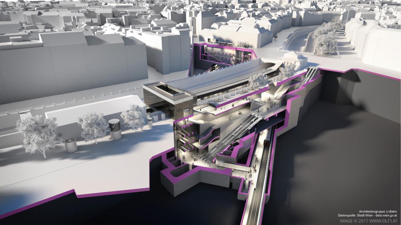
Digital twin of the Vienna underground. The U2 and U4 lines intersecting at the Pilgramgasse station have turned it into a major public transport hub.
© Données de la Ville de Vienne / OLN - Office le Nomade - Mossburger

