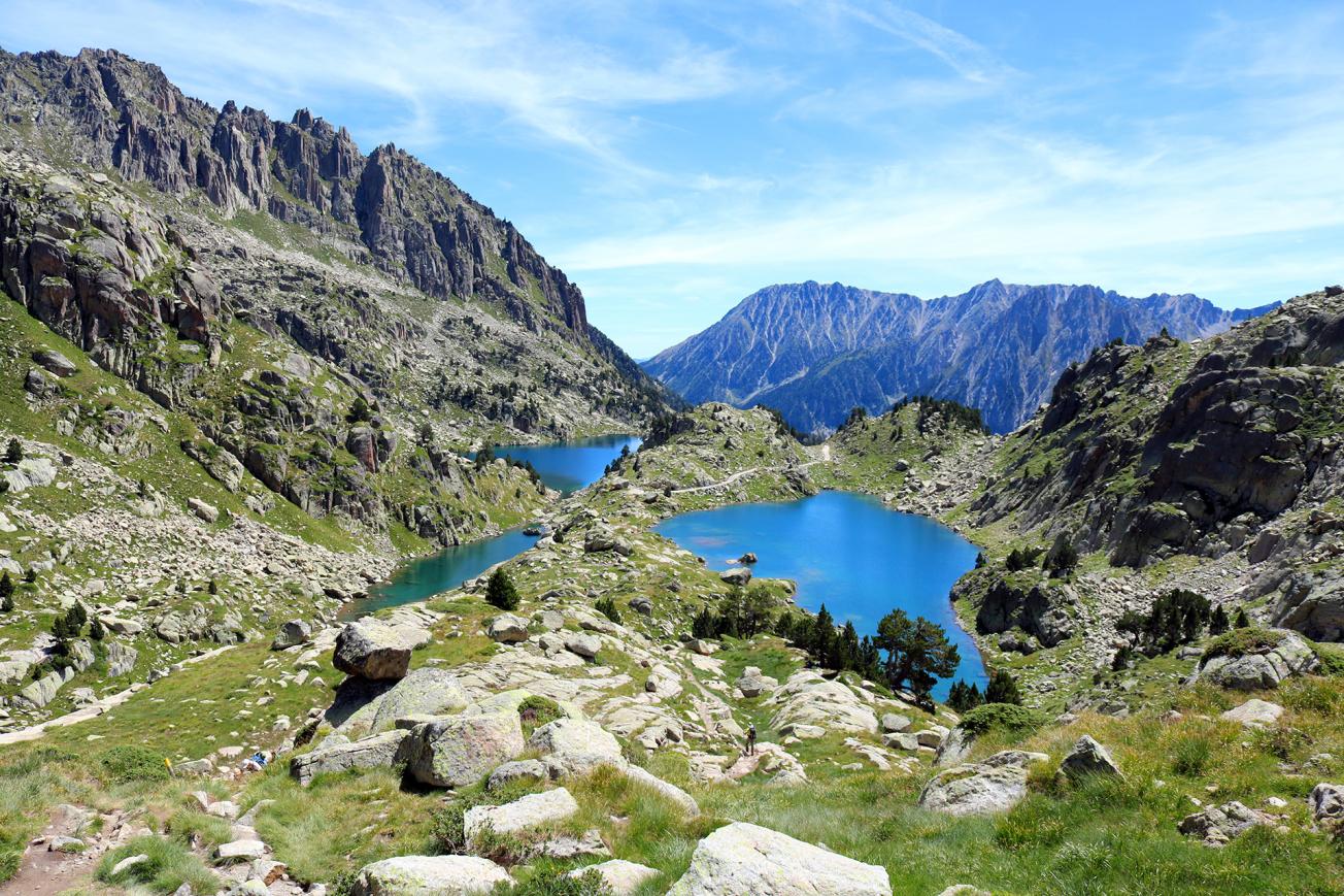
Pyrenees National Park.
© Adobestock - Pablo Eskuder
The aim of the ADAPYR project, led by the Pyrenean Climate Change Observatory (OPCC), is to understand the future impacts of climate change on natural and anthropic systems in the Pyrenees, so as to capitalise on and ensure the transfer and adoption of adaptation strategies in a context of cross-border cooperation.
Led by the Communauté de Travail des Pyrénées (CTP), this project, which is being undertaken from 2020 to 2022, is financed by the European Regional Development Fund (ERDF) of the European Union through its Interreg V-A Spain-France-Andorra (POCTEFA) 2014-2020 program.
Together with the CTP, 12 organisations will benefit from it and the project is also bringing together another 30 organisations as partners. These are organisations from all over the Pyrenees that will contribute and share knowledge and studies on the impacts, vulnerability and adaptation to climate change in various fields such as: flora, fauna, lakes and peat bogs, glaciers, forests, water, natural hazards or the study of climate itself.
Several webinar type events "ADAPYR Answers You" are organised to inform the general public throughout the project.
BRGM's role
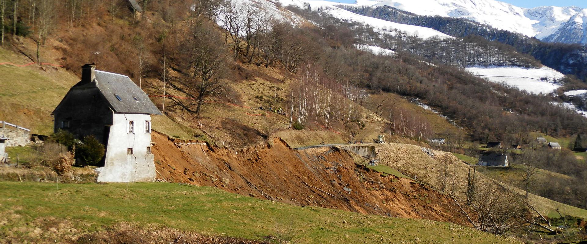
BRGM's expertise means that it is involved in the management of groundwater in the Pyrenees and taking preventive measures to deal with natural hazards in a context of global change. It is responsible for:
- defining indicators for natural hazards (floods and mudslides, avalanches, ground movements and drought) whose occurrence could be modified by global changes. These indicators must be sustainable and cost-effective in order to ensure they can be monitored once the project has been completed;
- coordinating the establishment of climate change indicators that are directly relevant to socio-economic sectors;
- drawing up recommendations for taking climate change into account in risk prevention plans or water resource management plans, particularly through workshops with local authorities and economic stakeholders (e.g. ski resort managers);
- Helping stakeholders in the water and spatial planning sectors reflect on how to implement a "robust" series of measures.

Interreg POCTEFA - ADAPYR project logo.
© Interreg POCTEFA - ADAPYR
Partners
The partners in this project are:
- For France: BRGM, FORESPIR, National Botanical Conservation Organisation of the Pyrenees and Midi-Pyrenees, CNRS (Moulis ecology station), and the League for the Protection of Birds (LPO);
- For Spain: the Communauté de Travail des Pyrénées (CTP), Instituto Pirenaico de Ecología – Agencia Estatal Consejo Superior de Investigaciones Científicas (IPE-CSIC), Estación Experimental de Aula Dei – Agencia Estatal Consejo Superior de Investigaciones Científicas (EEAD-CSIC), Servei Meteorològic de Catalunya, Ihobe – Sociedad Pública de Gestión Ambiental del Gobierno Vasco S.A., NAVARRA DE SUELO Y VIVIENDA, S.A.
- For Andorra: the Institut d’Estudis Andorrans.
The Commissariat de Massif des Pyrénées also supports this project.

