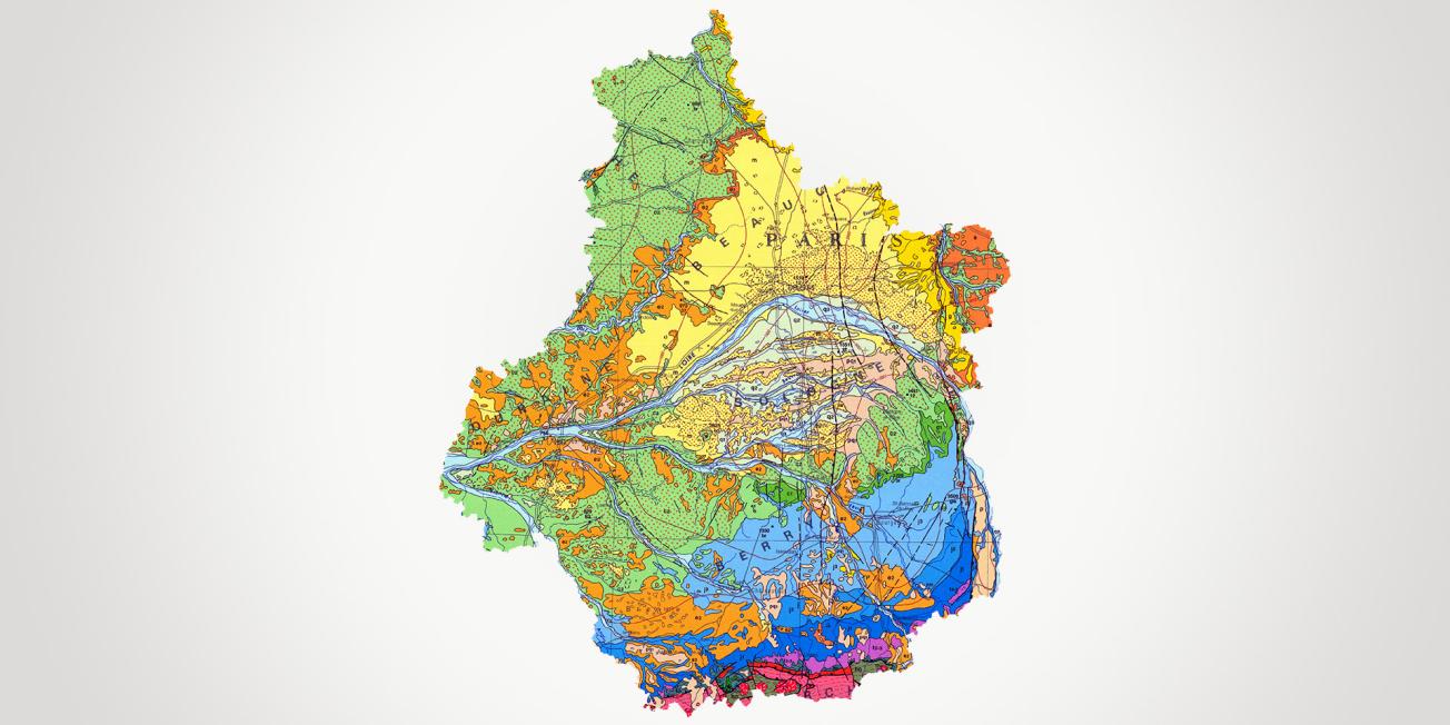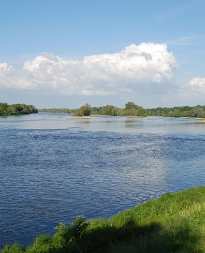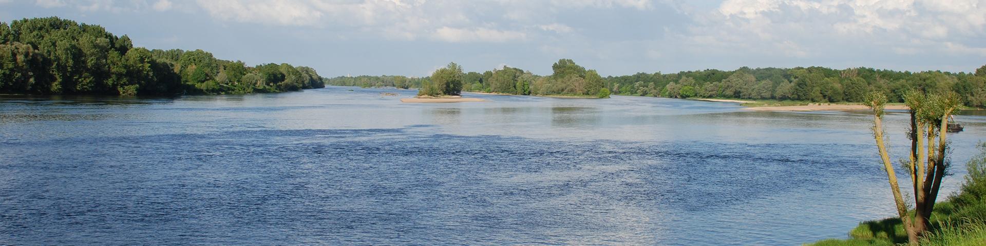
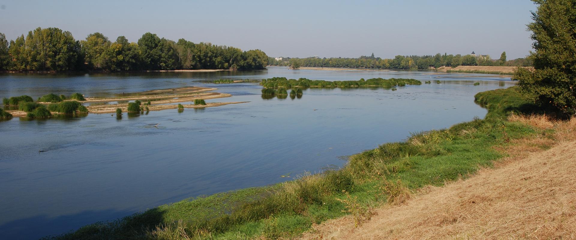
Bordered to the south by the foothills of the Massif Central, the Centre-Val de Loire region lies on the southern edge of the Paris Basin. It shares the same geological history as this great sedimentary basin. The Loire shaped the most recent episodes of this history and was the site of the first human settlements.
The economic and demographic development of the region depends on access to its various natural resources and their sustainable management, in particular water. It also depends on a sound understanding of the natural hazards that need to be taken into account to ensure harmonised management and controlled use of the ground and subsurface in towns and rural areas.
With its head office in Orléans, BRGM is one of the region's leading suppliers of subsurface data. It works with local authorities, government departments and private companies to provide operational responses to local and regional issues. Its assignments include knowledge acquisition, diagnosis, the creation of management and decision-making tools and enhancing and optimising the use of the data collected on issues related to groundwater, natural hazards (boulder falls, subsidence, landslides, rising groundwater), geothermal energy, polluted sites and soils and the circular economy.
This work draws on many years of experience in providing input for public policy, but also on research and development.
Partners
- Local and regional authorities: Centre-Val de Loire region, départements, water agencies, cities, conurbations and municipalities.
- Government departments: DREAL, ARS, DDT, prefecture, water agencies (Seine-Normandie, Loire-Bretagne), ADEME, universities (Orléans, Tours).
- Member: DREAM cluster, Dev'Up, Institut des Territoires Circulaires, etc.
Practical information
Pour aller plus loin
What's new in the Centre-Val de Loire region?
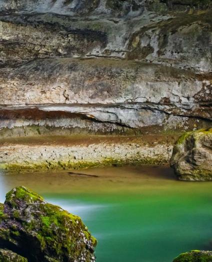
The source of the Loiret, the resurgence of a karst network in the Parc Floral de la Source in Orléans
© BRGM
Groundwater: understanding and protecting resources
The Centre-Val de Loire region has a number of aquifers (Beauce aquifer, particularly karstified in the Orléans valley; chalk aquifer; Jurassic limestone aquifer, etc.). The regional office coordinates a network of nearly 200 stations monitoring water levels in real time across the 6 départements and their numerous groundwater bodies, and using them to produce situation bulletins and forecasts via resource management models.
For several decades, the region's water resources have been subject to contamination (from nitrates and phytosanitary products), and more recently to quantitative management problems following recent droughts. The regional division focuses on the study, monitoring and preservation of these water resources.
Its team of hydrogeologists deals with all groundwater-related issues: monitoring aquifer levels, assessing available resources, investigating the causes of contamination, assessing exchanges between aquifers and rivers, developing models for managing resources (chalk aquifer in Eure-et-Loir; Indre river basin, etc.).
Geology: understanding and promoting our geological heritage
With improved geological knowledge, the authorities can respond to particular public concerns (exploitation of mineral resources, groundwater management, natural hazards).
BRGM has been producing geological maps of the region at a scale of 1:50,000 since the nineteen seventies and has more recently started vectorising and harmonising these maps for each département. Having produced the departmental quarry plans since the 1990s, the regional division has now helped to draw up the Regional quarry resources plan. Under the aegis of the DREAL, it also took part in the creation of the Regional Commission for Geological Heritage, through which it contributes to the inventory of this legacy and its promotion.
Ground and subsurface risks: understanding and forestalling natural hazards
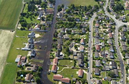
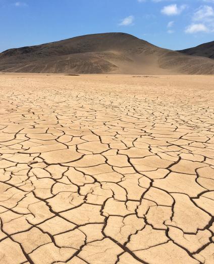
In addition to the highly prevalent risk of flooding (by run-off or rising groundwater), the geological and geomorphological diversity and history of the area mean that there are a wide variety of natural hazards (land movements - mainly cave-ins; falling rocks; landslides; clay shrinkage and swelling, etc.).
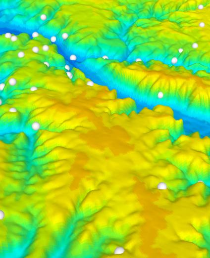
Regional or local studies of ground subsidence phenomena range from the historical undercutting of cliffs or shallow excavations (underground quarries) for the exploitation of materials to the destabilisation of natural karst cavities in areas that are often urbanised. This work provides major insights in terms of the region’s vulnerability and management. In the Centre-Val de Loire region, BRGM has carried out inventories of ground movements and underground cavities in each of the region's six départements, as well as expert assessments on behalf of government departments and local authorities. BRGM is developing innovative methods for diagnosing man-made or natural cavities, combining different techniques (geophysics, 3D laser scanning, etc.).
Diagram of a heat pump (drawing on an aquifer) for use by individual homes or shared buildings.
© Œil pour œil - GRETA - Interreg Alpine Space ERDF
Subsurface energy and decarbonisation: the development of geothermal energy
Geothermal energy is included in the regional ecological and energy transition policy and is a promising alternative for private homes and small collective buildings as well as a renewable energy alternative to wood for supplying heating networks.
BRGM Centre-Val de Loire recently updated the Atlas of regional resources, on aquifers and vertical geothermal probes, as well as the regulatory map of risks linked to small-scale geothermal energy. It also supports local authorities (Orléans, Chartres) in drawing up maps of the geothermal potential of their areas and assisting them in the upstream phases of large-scale projects. Finally, BRGM takes part in communication and training initiatives on geothermal energy.